







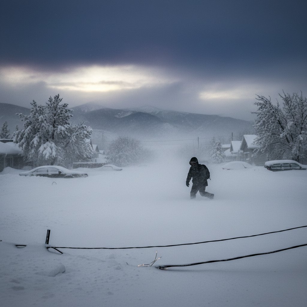
I still remember the winter of 2015, when Boston got buried under 108.6 inches of snow. That season felt endless — shoveling, roof collapses, and the sound of snowblowers at 4 AM. This week, we might be looking at a similar nightmare. The National Weather Service has issued a Winter Storm Warning for a system that could drop up to three feet of heavy, wet snow across parts of the Northeast, from northern Pennsylvania through New York’s Hudson Valley and into New England. If you live in the warning zone, this is not a drill.
Where the Heavy Snow Will Hit Hardest
The storm, currently taking shape over the Ohio Valley, is expected to intensify rapidly as it moves northeast. The heaviest band — forecast to deliver 24 to 36 inches — stretches from the Catskills to the Berkshires, with the highest totals likely in the Adirondacks and Green Mountains. Cities like Albany, Syracuse, and Burlington could see 18 to 30 inches. The snow will be heavy and wet, with water content comparable to a spring storm. That means power lines and trees are at real risk.
“This isn’t your typical fluff,” says Dr. Linda Harper, a meteorologist at the Northeast Climate Center. “We’re looking at a 1:10 to 1:15 snow-to-liquid ratio — that’s cement-like. Even moderate winds could snap branches and take out power for days.” The National Weather Service has already warned that travel could become “impossible” in some areas from Wednesday night through Friday morning. Airlines are canceling flights ahead of the storm, and several school districts have preemptively closed.
And here’s the kicker: this storm is tapping into anomalously warm Gulf moisture — a pattern we’ve seen more often in recent years. Warmer air holds more water vapor, so when it meets cold air, it dumps more snow. Sound familiar? The same dynamic amplified the infamous “Snowmageddon” of 2010 in Washington D.C. and the record-setting Boston season of 2014-15.
A Historic Storm, but With a Modern Twist
Let’s put three feet in perspective. The Great Blizzard of 1888 dropped 40 to 50 inches over parts of the Northeast, killing more than 400 people. The 1993 Superstorm (the “Storm of the Century”) buried the Appalachians under 4 feet. This week’s storm isn’t quite at that level, but it’s close. And the modern infrastructure is both better and worse: better forecasting, plows, and salt trucks, but also more people living in exurbs with long power lines that can snap under heavy snow.
Think about that: a foot of heavy snow can weigh as much as 20 pounds per square foot. Three feet? That’s 60 pounds per square foot — enough to collapse a flat roof, especially if it’s flat or improperly maintained. “We expect to see sporadic structural failures, particularly on older commercial buildings and barns,” says Mark Chen, a structural engineer consulting with emergency management in New York. “Anyone with a flat roof should be looking at snow removal every 12 hours during the peak.” Power outages are almost certain. The Associated Press reported that utilities are pre-positioning crews, but in heavy snow, restoration can take days, especially in rural areas.
I spoke to a friend in Saratoga Springs who is still mentally scarred from the 2015 winter. She’s already topped off her propane tank and bought a generator. Smart move. But many won’t be that prepared.
What This Means for Travel, Power, and Daily Life
If you’re planning to drive anywhere across the Northeast from Wednesday evening through Friday morning — don’t. The New York State Thruway and Interstates 87, 90, and 93 are likely to see closures or severe restrictions. The storm’s timing is abysmal: arriving during the evening commute Wednesday and persisting through Thursday, with snow falling at rates of 2 to 3 inches per hour at the peak. Visibility could drop to near zero in whiteout conditions.
And for sports fans? The how severe weather shaped Alan Ritchson’s ‘Motor City’ filming article over on CyclonePost highlights just how disruptive extreme conditions can be — even for hardened film crews. If a Hollywood production had to scramble around snow, imagine what this will do to everyday life. Meanwhile, if you think cold and snow are bad, contrast this with the heat wave: silent killer that strains power grids story. Both extremes tax infrastructure, but snow brings an extra layer of physical weight and collapse risk.
For the millions of people who will lose power, the cold is the biggest secondary threat. With temperatures dropping into the teens at night, homes without heat become dangerous within hours. Hypothermia can set in quickly, especially for the elderly. If you’re in a warning zone, fill up your bathtubs with water (for flushing), charge all electronics, and check on neighbors who might need help.
One more thing: beware of the post-storm cold snap. The system will pull in arctic air behind it, so even after the snow stops, temperatures will plunge. That means melting snow will refreeze into ice, creating dangerous roads and sidewalks for days afterward.
The Bigger Picture: Are These Storms Becoming More Extreme?
We can’t talk about a three-foot snowstorm without asking about trends. While it might seem counterintuitive — isn’t the planet warming? — heavy snowfall events have actually increased in intensity in many parts of the Northern Hemisphere. Why? Because warmer air holds more moisture. If it’s still cold enough to snow, that extra moisture turns into feet instead of inches. It’s a paradox of climate change: the same warming that reduces the snow season overall can make the storms that do happen more punishing.
“This storm is consistent with what we expect in a warming climate: fewer snow events overall, but when they do occur, they’re more likely to be extreme,” says Dr. Harper. “We’re seeing this pattern in the Northeast, the Midwest, and even parts of Europe.”
The NASA ICESat-2 satellite, which measures ice and snow from space, has recorded several record-breaking snow loads in recent years. The data backs up what we’re seeing on the ground: more water in the snowpack, more weight, more destruction.
So what should you expect by Friday? Depending on where you are, either a winter wonderland — or a personal crisis. The storm will fade by Friday afternoon, leaving behind a landscape blanketed in white, but also power crews working around the clock, roofs groaning under the load, and a long, slow melt. If you’re in the path, please take the warnings seriously. You don’t want to be the person caught unprepared when three feet of heavy snow falls on your roof, your car, your life.



