







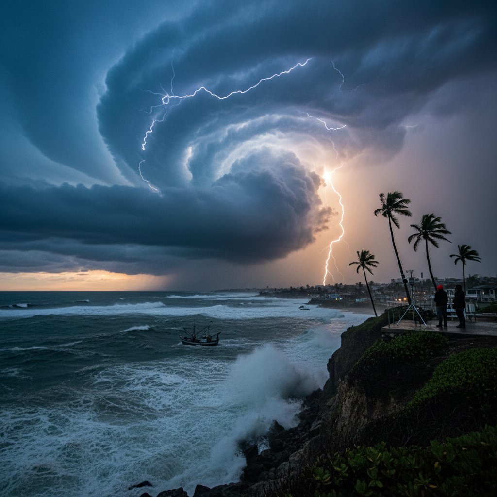
The world’s most influential climate pattern has officially arrived — and it’s already flexing its muscles. El Niño, the warm phase of the El Niño-Southern Oscillation (ENSO), has formed in the tropical Pacific Ocean, and forecasters are warning that this event could become one of the strongest on record.
For everyday people, that means one thing: buckle up. From surging food prices to deadly floods and scorching droughts, the ripple effects of a powerful El Niño will touch nearly every corner of the globe — and your wallet, your home, and your safety could all be on the line.
The National Oceanic and Atmospheric Administration (NOAA) officially declared El Niño conditions on June 8. Sea surface temperatures in the key Niño 3.4 region were running 0.9°C above average in early June, and models project a 56% chance of a “strong” event (peak anomalies exceeding 1.5°C) by late fall. Some simulations even hint at a “super El Niño,” rivaling the monster events of 1997–98 and 2015–16.
“This is not your average El Niño,” says Dr. Michelle L’Heureux, a climate scientist at NOAA’s Climate Prediction Center. “We are seeing rapid intensification in the ocean heat content, and the atmosphere is beginning to respond. If that coupling continues, we could see a very powerful event that disrupts weather patterns worldwide.”
What Makes This El Niño Different?
Not all El Niños are created equal. The current event is developing on top of already record-warm global ocean temperatures. The Atlantic, Indian, and Pacific Oceans are all running hotter than normal, providing extra fuel for atmospheric upheaval.
“We are essentially adding El Niño on top of a climate system that is already under stress from human-caused warming,” explains Dr. Kevin Trenberth, a distinguished scholar at the National Center for Atmospheric Research. “That combination can lead to unprecedented extremes — heat waves, heavy rainfall, and droughts in places that have never seen them before.”
In the past, strong El Niños have triggered catastrophic flooding in Peru, Ecuador, and California, while bringing crippling drought to Indonesia, Australia, and parts of Africa. The 2015–16 event was linked to massive coral bleaching on the Great Barrier Reef, food insecurity in East Africa, and a spike in global temperatures that made that year the hottest on record at the time.
But this time, the baseline is even hotter. The global average temperature in 2023 is already running near 1.2°C above pre-industrial levels, and El Niño is expected to push it higher. Many scientists believe 2024 could become the first year where the global temperature exceeds 1.5°C above pre-industrial levels — a critical threshold set by the Paris Agreement.
Global Ripple Effects: From Floods to Droughts
The most immediate consequence for millions of people will be extreme weather. El Niño typically shifts the jet stream, altering storm tracks and precipitation patterns across the planet.
In the United States, a strong El Niño often means wet winters for California and the Southwest, bringing relief from drought — but also the risk of dangerous mudslides and flooding. The northern tier of the U.S., from the Pacific Northwest to the Great Lakes, tends to be warmer and drier, which could worsen wildfire conditions.
“We’re already seeing the fingerprints of El Niño in the tropical Pacific,” says Dr. Emily Becker, a research scientist at the University of Miami’s Rosenstiel School. “The atmospheric circulation has shifted, and we can detect changes in rainfall patterns. Indonesia and Australia are already experiencing dry conditions, while parts of South America are getting more rain.”
In East Africa, El Niño often brings heavy rains that can trigger flash floods and landslides, especially in vulnerable countries like Somalia, Kenya, and Ethiopia. But the same event can also disrupt the monsoon in India, potentially reducing crop yields and driving up food prices globally.
“El Niño is a double-edged sword,” says Dr. Trenberth. “It can provide relief in some drought-stricken areas, but it also creates new hazards. The key is preparation — communities need to know what’s coming and have plans in place.”
How El Niño Shapes Hurricane Season
For the Atlantic basin, El Niño is often seen as a hurricane suppressor. The pattern increases wind shear over the tropical Atlantic, tearing apart developing storms. NOAA’s 2023 Atlantic hurricane season outlook, released in May, called for a near-normal season with 12 to 17 named storms, partly because of El Niño’s expected influence.
But there’s a twist: the Atlantic Ocean is abnormally warm this year, with sea surface temperatures running as much as 2°C above average in some areas. That heat could counteract the wind shear, allowing storms to intensify rapidly close to land.
“We can’t let our guard down,” warns Dr. L’Heureux. “Even in an El Niño year, we’ve seen devastating hurricanes — like Andrew in 1992 and Michael in 2018, both of which occurred during weak El Niños. The warm Atlantic is a wild card.”
In the Pacific, El Niño typically enhances hurricane activity in the central and eastern Pacific, increasing the risk for Hawaii and the western coasts of Mexico and Central America. Forecasters are already monitoring a potential tropical cyclone near the Hawaiian Islands.
Preparing for a Year of Extremes
Governments, businesses, and individuals are scrambling to adapt. The World Meteorological Organization has issued a call for early warning systems to be strengthened, especially in developing countries that are most vulnerable to El Niño impacts.
For farmers, the stakes are particularly high. In Southeast Asia, palm oil and rice production could take a hit from drought. In South America, soybeans and coffee may be affected. Australia is bracing for an early start to the bushfire season, as dry conditions prevail.
“El Niño is a natural part of our climate system, but its impacts are amplified by climate change,” says Dr. Trenberth. “We are entering uncharted territory, and the next two years will be a test of our resilience.”
For the average person, the advice is simple: stay informed. Pay attention to local weather forecasts, have an emergency kit ready, and consider how global food prices might affect your household budget. El Niño is not a disaster in itself — but it can turn manageable risks into deadly ones.
As the summer progresses, scientists will be watching the Pacific closely. If El Niño continues to strengthen, as models predict, its influence will only grow. By winter, its effects could be felt from the ski slopes of the Rockies to the sugar cane fields of Brazil.
“We’ve seen this pattern before, but never quite like this,” says Dr. L’Heureux. “The combination of a strong El Niño on a warmer planet is something we haven’t fully experienced. It’s a global weather experiment, and we are all participants.”



