







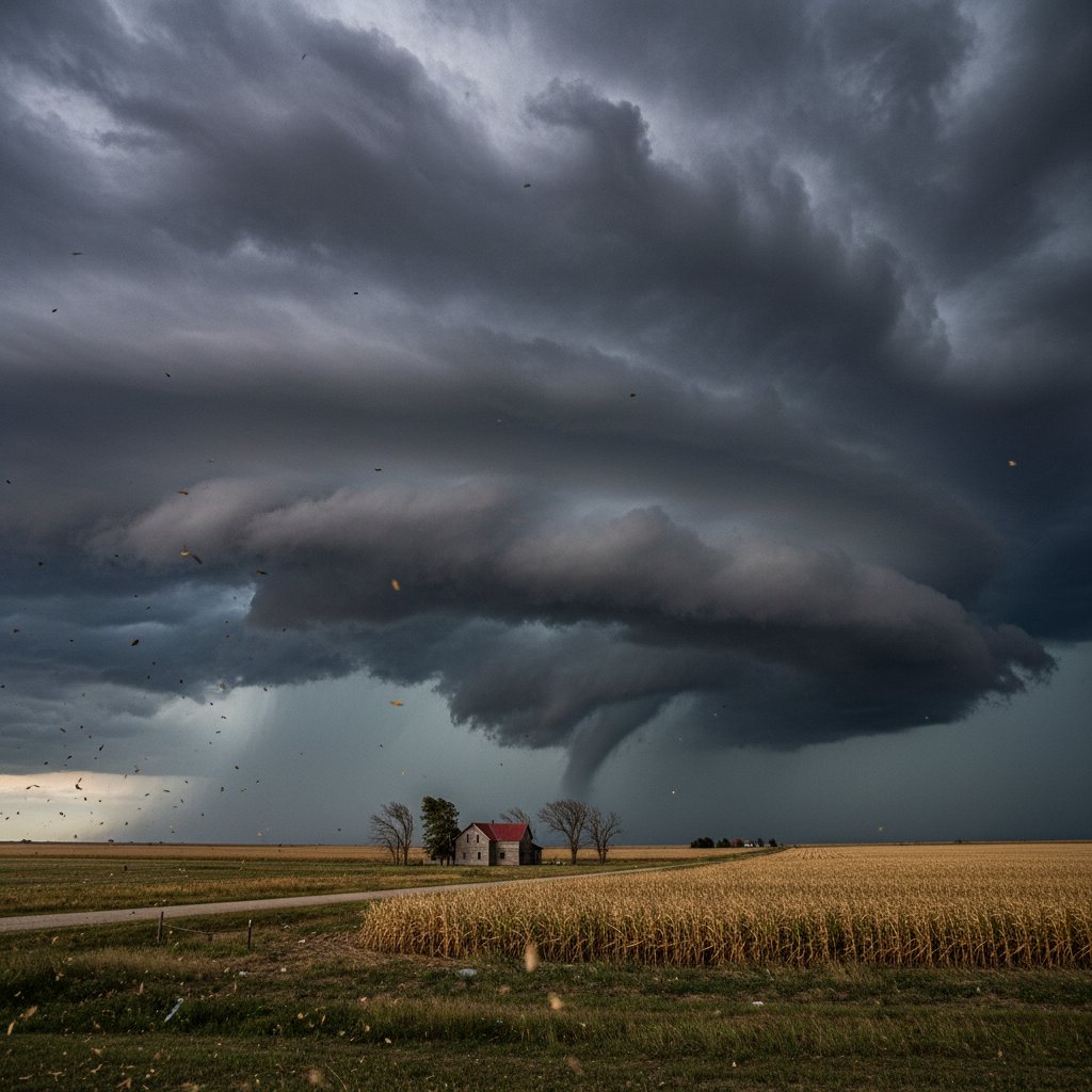
What happens when an unstoppable weather pattern meets a small town caught in its crosshairs? For Lorenzo, Nebraska, the answer is unfolding right now. Over the past 48 hours, a volatile clash of warm, moist air from the Gulf and a powerful jet stream over the Plains has spawned a series of supercell thunderstorms, with Lorenzo at the epicenter of the most dangerous activity.
The National Weather Service has issued a rare “particularly dangerous situation” tornado watch for the region, warning that these aren’t just ordinary storm clouds. They are supercells—rotating thunderstorms capable of producing violent tornadoes, hail the size of baseballs, and straight-line winds exceeding 80 mph.
Residents of this farming community of 900 have watched the sky transform from blue to a menacing green-black. The clouds, towering to over 60,000 feet, look like anvils poised to strike. This is the kind of setup that meteorologists dread.
The Anatomy of a Supercell: Why Lorenzo Is in the Bull’s-Eye
To understand the risk, you have to look at the ingredients. Central Nebraska sits in the heart of Tornado Alley, where spring and early summer bring the perfect storm of conditions. But what makes this event stand out is the intensity of the atmospheric instability.
“We’re seeing a CAPE value over 4,000 J/kg, which is extremely high for this late in the season,” explains Dr. Helen Torres, a severe weather researcher at the University of Nebraska-Lincoln. “Coupled with 70 knots of wind shear at the mid-levels, this creates a rotational environment that can sustain a supercell for hours.”
The result is a storm that feeds on itself. Unlike a typical thunderstorm that fizzles out quickly, a supercell can persist, dropping massive hail and wrapping up into a mesocyclone—a rotating updraft that precedes tornado formation. The storms over Lorenzo have already shown signs of this rotation on Doppler radar.
“The hook echo is unmistakable. This is textbook tornado genesis potential.” — Mark Henson, Emergency Manager for Chase County
For the uninitiated, a hook echo is the radar signature that looks like a fishhook extending from the storm’s core. It indicates where rain is wrapping around a rotating column of air. When you see that on the screen, you know the clock is ticking.
Historical Context: Storms That Rewrite the Rules
Nebraska has seen its share of devastating twisters. The 1975 Omaha tornado, the 2004 Hallam outbreak, and the 2014 Pilger twin tornadoes reshaped both communities and building codes. But storms in the 2020s are changing.
“The frequency of high-end tornadoes—EF4 or EF5—has remained relatively constant, but the environments that produce them are becoming more volatile,” notes Dr. Torres. “We’re seeing more instances of rapid intensification: storms that go from a funnel cloud to a violent wedge in under 10 minutes.”
Some researchers point to a warming climate as a wildcard. Warmer air holds more moisture, which fuels stronger updrafts. A 2018 study in the journal Nature Climate Change found that the number of days conducive to severe thunderstorms is increasing in the central and eastern United States, particularly in spring. Lorenzo may be experiencing a taste of that new reality.
The last major tornado to hit this zip code was an EF2 that damaged grain silos and homes in 2016. But the current setup has echoes of the 2004 Hallam event, which produced an EF4 that carved a 52-mile path through the state. Lorenzo sits 30 miles north of that track.
On the Ground: What Residents Need to Know Now
As of late afternoon, spotter networks are reporting wall clouds—those lowered, rotating bases that often precede a tornado—forming southwest of Lorenzo. The National Weather Service has warned that any cell that develops could produce a tornado with little notice.
“We tell people to take shelter immediately, not to wait for the sirens,” says Henson. “Basements are best. If you don’t have one, an interior room away from windows. And put on a helmet—head injuries are the leading cause of tornado fatalities.”
Recent history backs him up. The 2013 El Reno tornado in Oklahoma killed several storm chasers because the storm intensified and changed direction without warning. Lorenzo’s geography—flat plains with few natural barriers—means a tornado could move at 50 mph across open fields, giving residents just minutes to act.
Here is what the data shows: The window of highest risk extends from 4 PM to 10 PM CDT. Hail up to 2.5 inches in diameter is likely. Wind gusts could exceed 85 mph, capable of flipping cars and tearing roofs off well-built homes. Power outages are expected across Chase County.
Lorenzo’s Broader Significance: A Microcosm of Extreme Weather
This storm isn’t just a local concern. Lorenzo’s experience reflects a wider pattern of severe weather affecting smaller communities that often lack the resources of big cities. With a population that is aging and a volunteer fire department, the town relies heavily on mutual aid from neighboring communities.
“Small towns are on the front lines of climate volatility,” says Dr. Torres. “They don’t have the budget for reinforced storm shelters or early warning systems beyond NOAA weather radios. So when a supercell forms overhead, it’s all about the human factor—neighbors checking on neighbors.”
Lorenzo’s school, a red-brick building that doubles as a shelter, has opened its basement to anyone in need. The local grain elevator, the town’s tallest structure, is being monitored for structural integrity. Every decision matters.
As the sun begins to set, casting an eerie green glow over the plains, the storms are still gathering strength. The watches may turn to warnings at any moment. For Lorenzo, the next few hours will determine whether this is a storm that becomes part of local lore—or a footnote in the bigger story of a changing climate.
What to watch for: Radar updates from the NWS Hastings office. Any rotation signature north of Highway 23 should prompt immediate shelter in Lorenzo. Travel is not advised through sundown. This is a dynamic, life-threatening situation, and the clouds overhead are only the beginning.



