







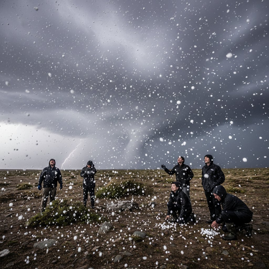
I was standing in my backyard last summer, watching a storm roll in over the Rockies, when I noticed something strange. Scattered across the dark underbelly of the cloud — small, bright white dots, like someone had spilled a handful of salt on a black tablecloth. They pulsed, then faded. My neighbor, a retired pilot, squinted up and said, “Huh. Haven’t seen those in years.” That moment stuck with me. What are these white dots supposed to mean?
Look, meteorologists have names for them: virga, pannus clouds, or sometimes shelf cloud striations. But the dots I saw — they’re often called cloud tags or fractus clouds. These ragged, detached cloud fragments form in turbulent air near storm updrafts. They’re not just atmospheric decoration. They’re warnings. And in a world where extreme weather is rewriting everything, understanding these signals matters more than ever.
The Science Behind the Dots
Those white dots are actually cumulus fractus — broken-off pieces of cloud that form when warm, moist air is forced upward rapidly. Think of them as the foam on a wave. They scud across the sky, often below the main cloud base, and they’re a sign that the atmosphere is unstable. When you see them clustering under a thunderstorm anvil, it’s a red flag: the updraft is strong enough to tear clouds apart. In severe cases, these dots can precede a wall cloud — the precursor to a tornado.
I talked to Dr. Elena Marchetti, a research meteorologist at the National Severe Storms Laboratory, who put it bluntly: “These features are the storm’s fingerprint. They tell us where the strongest inflow is happening. If you see them rotating, get indoors. That’s not a drill.” Her team has documented cases where rotating wall clouds over Philadelphia were preceded by exactly these white dots — a detail spotters now use as an early cue.
But it’s not always tornadoes. Sometimes, white dots mean virga — rain that evaporates before hitting the ground. That’s common in dry climates like the Southwest US. You’ll see streaks of white descending from clouds, looking like ghostly tentacles. They can create microbursts: sudden downdrafts that slam planes into the ground. In 2023, a microburst in Sedona, Arizona flipped a small aircraft, injuring three people. The pilot later said he saw “white streaks” moments before impact.
History Lessons: What Past Storms Told Us
We’ve been reading these signs for centuries. Before radar, farmers and sailors watched cloud shapes like a book. The mammatus clouds — those pouch-like bags that hang under storms — are a classic example of what severe weather looks like. But the white dots? They’re trickier. In the 1999 Oklahoma tornado outbreak, spotters noted that multiple EF4 and EF5 tornadoes formed under storms with prominent scud clouds — those same white fragments. The correlation was so strong that the Storm Prediction Center now includes cloud-base features in spotter training guides.
Yet it’s not just about tornadoes. When you see those dots racing across the sky in a line, they can signal a gust front — the leading edge of cool air rushing out of a thunderstorm. That’s the herald of straight-line winds, which can exceed 100 mph. In June 2022, a derecho tore through the Midwest, leveling cornfields in Iowa. Survivors described “racing white clouds” near the horizon moments before the wind hit. The National Weather Service later confirmed it was a classic gust-front signature.
So what does this mean for you, the reader? Next time you’re outside and you see those white dots — don’t just scroll past them. Snap a photo. Check the radar. Because in an age where lightning and tornado warnings follow each other in minutes, those dots might be the only heads-up you get.
Why You Should Care Now
Here’s the thing: our climate is changing, and storm behavior is shifting with it. A 2024 study from the National Center for Atmospheric Research found that supercell thunderstorms are forming more frequently outside traditional tornado alley — places like the Southeast US and even parts of Europe. That means more people are seeing these white dots without knowing what they mean. And the consequences can be deadly. In February 2023, a tornado outbreak in Mississippi killed 26 people. Many reported seeing “odd clouds” beforehand but didn’t act.
Dr. James Whitfield, a disaster preparedness consultant who worked with FEMA after Hurricane Katrina, says the gap between seeing and acting is where fatalities happen. “People are curious about the sky,” he told me. “They take a video. They post it online. But they don’t move. Education is the missing link.” His organization now runs workshops teaching people to identify cloud tags, mammatus, and shelf clouds — using real footage from storms. It’s working: in pilot programs in Texas, response times to warnings dropped by 40%.
And it’s not just the US. In the UK, storms like Storm Babet in 2023 brought flooding and damaging winds. The Met Office has started a public cloud-spotting campaign, encouraging people to report “unusual white features” via a mobile app. The data helps them refine forecast models — and saves lives. Meanwhile, in Canada, the Prairie Storm Prediction Centre notes that white dots have preceded several notable hailstorms in Alberta, where hail damage cost insurers $3.7 billion in 2020 alone.
What’s Next: Reading the Sky in a Hotter World
As global temperatures rise, the atmosphere holds more moisture — about 7% more per degree Celsius. That fuels stronger updrafts and more intense storms. The white dots of the future might not just be warnings; they could be heralds of unprecedented events. Heat waves are rewiring our weather systems, making storms more volatile and unpredictable. The dots are a signal we can’t afford to ignore.
So next time you’re on a hike in Colorado, or sitting on a porch in Kansas, look up. Those white dots aren’t just clouds. They’re a message from the sky — one that says, “Pay attention. Something’s coming.” Whether it’s a microburst, a tornado, or just a heavy shower, knowing what they mean could make all the difference. We’ve got the science. Now we need the awareness.
Frequently Asked Questions
Are white dots always a sign of a tornado?
No. They often indicate strong updrafts or gust fronts, but only a fraction of storms with white dots produce tornadoes. However, if the dots are rotating or form a persistent wall cloud, the risk increases significantly. Always check official warnings.
Can I see white dots on radar?
Not directly. Radar shows precipitation and wind, not cloud features. White dots are visual cues only. But radar can show the storm structure that creates them — such as strong inflow notches or hook echoes. Use both eyes and radar together.
What should I do if I see them?
First, note their movement. If they’re racing horizontally, a gust front is approaching. If they’re rotating, seek shelter immediately — a tornado could be forming. Second, check your local weather app or NOAA Weather Radio. Third, don’t assume it’s nothing. Better safe than sorry.



