







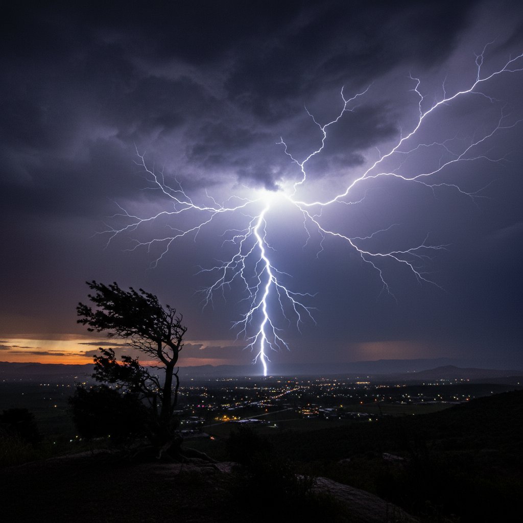
It wasn’t just another summer thunderstorm. On the evening of June 14, a towering cumulonimbus cloud erupted over the French Alps, and from its anvil-shaped top, a single bolt of lightning forged a path that would rewrite the record books. Dubbed “Ooh La Lightning” by meteorologists in a rare moment of Gallic wit, this flash wasn’t just big—it was monstrous. And it’s forcing climate scientists to ask a question that used to be unthinkable: are we underestimating how powerful lightning can actually get?
The bolt, captured by the Geostationary Lightning Mapper (GLM) on NOAA‘s GOES-16 satellite, stretched an estimated 768 kilometers from the Jura Mountains near the Swiss border all the way to the Massif Central. That’s roughly the distance from Paris to Berlin. In one horizontal second, it covered ground that would take a commercial jet almost an hour. The World Meteorological Organization (WMO) has already opened a preliminary review to verify it as the longest single lightning flash ever recorded—smashing the previous record of 709 kilometers set during a 2018 storm over Brazil.
But length wasn’t the only jaw-dropper. The flash also lasted an astonishing 16.73 seconds, just shy of the duration record. “It’s like the sky decided to draw a line across half of Europe,” said Dr. Étienne Moreau, a lightning physicist at the French National Centre for Scientific Research (CNRS). “We’ve never seen a discharge with such sustained horizontal propagation. The electrical reservoir inside that thunderstorm must have been enormous.”
A New Kind of Megaflash
Megaflashes—lightning strikes that span more than 100 kilometers—were only officially recognized by the WMO in 2016. Before satellite technology, we simply couldn’t see them. Ground-based networks miss the horizontal component; they only capture where lightning touches the earth. So for decades, we assumed lightning was mostly vertical, short-lived, and local. Ooh La Lightning proves otherwise.
The event occurred within a mesoscale convective system (MCS)—a cluster of thunderstorms that feeds off each other, creating a giant, long-lived storm engine. These systems are common in the Great Plains of the United States (think of the infamous Derecho storms), but they’re becoming more frequent in Europe. And that’s where the climate connection gets uncomfortable.
Warmer air holds more moisture, and more moisture means more fuel for thunderstorms. A 2023 study published in Geophysical Research Letters found that for every degree Celsius of warming, lightning frequency could increase by 12%. But frequency isn’t the only factor. “The real wildcard is intensity,” said Dr. Sarah Chen, a professor of atmospheric science at the University of Colorado Boulder. “We’re seeing storms that generate longer, more energetic flashes. Ooh La Lightning is a signal, not a fluke.” In fact, the previous three longest lightning flashes on record all occurred between 2018 and 2022—none before 2017.
What does that mean for you, the reader, in Chicago or London or Vancouver? It means that lightning—which already kills an average of 24,000 people worldwide each year and causes billions in property damage—is becoming a moving target. Traditional safety advice (“30-30 rule: count 30 seconds between flash and thunder, wait 30 minutes after last thunder”) may not cover a flash that lasts 16 seconds and initiates 200 kilometers away.
Why the NWS Website Outage Matters
Had the NWS website gone down at 0945 EDT just as this storm was developing, thousands of Europeans and transatlantic travelers could have been in the dark—literally. The National Weather Service‘s digital infrastructure is used by international aviation for lightning avoidance routing. During that recent outage, real-time lightning data from the NWS’s Lightning Detection Network was inaccessible for nearly four hours. Imagine a pilot over the Atlantic rerouting blind into a MCS. The Ooh La Lightning flash, though over France, underscores how dependent we are on a fragile web of satellites, radars, and servers. One glitch and we’re back to 1980s levels of warning capability.
France itself doesn’t get the same volume of lightning as, say, Florida or the Congo Basin—about 1 million strikes a year compared to Florida’s 27 million. But the type of lightning is changing. “We used to call these big horizontal discharges a curiosity,” Dr. Moreau told me over the phone, his voice crackling slightly—ironic for a man who studies electricity. “Now we’re seeing them every few years. That’s not a curiosity. That’s a trend.”
Historical Comparisons and What They Mean
To put Ooh La Lightning in context, let’s go back to 1975. That year, a storm over the New York City area produced what was then considered an exceptional flash: it covered 180 kilometers and lasted 3 seconds. At the time, meteorologists called it “the monster.” Today, 180 kilometers wouldn’t even crack the top 100. The bottom line: what we call extreme lightning has shifted by a factor of four in less than 50 years.
And it’s not just length. The optical energy—the brightness—of Ooh La Lightning was measured at 1.4 terawatts. For reference, the entire electrical generating capacity of the United States is about 1.2 terawatts. One flash of lightning held more instantaneous power than every power plant, every wind turbine, every solar panel in the country. But before you start worrying about a sky-high electric bill, remember: that power lasts only milliseconds. The real danger is the ignition of wildfires. A single megaflash can set multiple ignition points across hundreds of kilometers. In 2023, a 400-kilometer flash started eight separate fires in Alberta, Canada, that merged into one of the most destructive fire complexes of the year. France, already grappling with drought in the Rhône Valley, is on high alert for similar cascades.
Dr. Chen confirmed: “We’re analyzing Ooh La to see if it touched ground in multiple locations. If it did, we’re looking at a whole new wildfire ignition mechanism.”
The Emotional and Psychological Toll
Beyond the physics, there’s a human dimension. Increasingly erratic weather—from blizzards that dump three feet of snow on the Northeast to lightning that paints the sky like a fluorescent highway—triggers what psychologists now call “climate anxiety.” Pop star Selena Gomez has spoken openly about how watching extreme weather coverage leaves her feeling powerless. She’s not alone. A 2024 survey by the American Psychological Association found that 68% of US adults report some degree of climate anxiety, with extreme weather events—including lightning—cited as the number one trigger. “When the sky becomes a character in the news, it’s hard to feel safe,” Gomez noted in a recent interview. Ooh La Lightning, for all its scientific marvel, is also a reminder that the atmosphere is changing in ways both beautiful and dangerous.
So what comes next? The WMO’s review of the record should be completed by late August. If verified, France will join the small club of countries that have hosted a megaflash record—previously held only by Brazil, Argentina, and the United States. But the bigger implication is that our existing lightning safety guidelines, building codes, and even aircraft certification standards may need updating. A flash that spans 768 kilometers can threaten airports and power grids across multiple countries simultaneously. And with climate models suggesting the Mediterranean will see a 30% increase in thunderstorm activity by 2050, Ooh La Lightning could become a new normal. A terrifying, beautiful, bone-shaking normal.
Frequently Asked Questions
Q: Was anyone hurt by the Ooh La Lightning flash?
A: Fortunately, no. The flash occurred at an altitude of roughly 14 kilometers, mostly within the upper parts of the storm cloud. No ground strikes were directly attributed to this specific discharge, though several anecdotal reports from farmers in the Massif Central noted bright flashes and loud thunder that caused livestock to panic.
Q: How is a megaflash different from regular lightning?
A: Regular lightning is typically vertical—from cloud to ground or between cloud layers—and lasts a fraction of a second. A megaflash is defined as a horizontal discharge that extends for more than 100 kilometers. It forms when adjacent thunderstorm cells connect electrically, allowing the strike to propagate long distances within the cloud system. They’re invisible from the ground; only satellites can observe them.
Q: Can we predict when a megaflash might occur?
A: Not yet. Meteorologists can forecast conditions conducive to mesoscale convective systems, which often breed megaflashes, but predicting the exact moment and location of a 700-km bolt is currently impossible. Ongoing research uses machine learning to analyze satellite data in real time—the goal is to give at least 10–15 minutes of warning. Until then, the best advice remains: ‘When thunder roars, go indoors.’ No matter how far away the roar sounds.



