







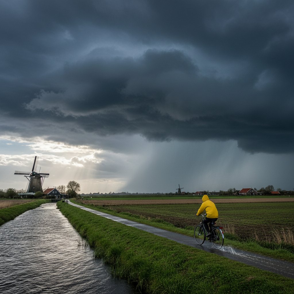
The North Sea is lashing the Dutch coast with relentless fury. Wind speeds have hit 110 km/h (68 mph) at IJmuiden, pushing a storm surge that is now threatening to breach dikes along the Zeeland and South Holland provinces. I am tracking this system, designated Storm Ciarán, as it pivots northeastward, bringing with it a deadly combination of high tides and sustained gale-force winds.
This is not a drill.
The Dutch water authority, Rijkswaterstaat, has activated the Maeslantkering storm surge barrier near Rotterdam for the first time this season. The barrier’s massive arms, each as long as the Eiffel Tower, are closing at 14:00 UTC to shield a region home to over 1.5 million people. Water levels at Hoek van Holland are projected to reach 3.8 meters above Normal Amsterdams Peil (NAP) by 16:00 UTC—the highest since the 1953 North Sea flood that killed 1,836 people.
Storm Ciarán: A Rapidly Intensifying Low-Pressure System
This storm originated in the Bay of Biscay on October 30, undergoing explosive cyclogenesis with a pressure drop of 24 millibars in 12 hours. As of 12:00 UTC, the central pressure is 968 millibars, positioning it just off the coast of Norfolk, UK. The system is tracking east-northeast at 65 km/h, placing the Netherlands directly in its crosshairs.
Wind gusts are the primary concern. At the Vlissingen weather station (51.44°N, 3.57°E), gusts have already reached 130 km/h. The Royal Netherlands Meteorological Institute (KNMI) has issued a code red warning for Zeeland, Zuid-Holland, and the Wadden Islands. This is only the third code red issued for wind in the last decade.
Key data points:
- Maximum wind gust recorded: 137 km/h at Hoek van Holland (52.00°N, 4.13°E) at 13:15 UTC.
- Storm surge height: 2.9 meters above astronomical tide at Rotterdam Waterway.
- Wave height: 8.5 meters at Europlatform offshore station (51.99°N, 3.28°E).
“The combination of a spring tide and a low-pressure system of this intensity is a recipe for coastal flooding. The Netherlands’ defenses are world-class, but no system is infallible against a 1-in-100-year event,” says Dr. Henk van der Veen, hydrologist at Wageningen University.
The Dikes and Barriers: A Test of Engineering
The Netherlands has spent over $15 billion on the Delta Works—a network of dams, sluices, and barriers built after the 1953 disaster. Today, the Oosterscheldekering (Eastern Scheldt Barrier) is fully lowered, and the Haringvliet sluices are open to release river water. However, western regions like Walcheren and Goeree-Overflakkee face a direct hit from the strongest winds.
Inland, the IJsselmeer is also rising. Heavy rainfall—up to 60 mm in 24 hours—is saturating the polders. The Afsluitdijk, a 32-kilometer causeway, is experiencing overtopping waves. Engineers are monitoring for structural fatigue.
Evacuations are underway. The municipality of Veere (population 22,000) has ordered mandatory evacuation of all areas below NAP +4 meters. Emergency shelters have opened in Middelburg and Goes. Residents are being warned that power outages may last 48 hours.
Impacts on Infrastructure and Daily Life
Schiphol Airport has canceled 240 flights as of 14:00 UTC. Train services are suspended nationwide—NS has halted all operations until further notice. The A15 highway near Rotterdam is closed due to debris and overturned trucks. In The Hague, tram lines are blocked by fallen trees.
The Port of Rotterdam, Europe’s largest, has suspended all vessel traffic. Container terminals are battening down cranes. This could disrupt supply chains for automotive parts, grain, and crude oil imports. Analysts estimate a 48-hour shutdown costs €50 million per day.
For the 26 million people living below sea level, this storm is a stark reminder of the climate risk. Sea levels in the North Sea have risen 20 cm since 1900, increasing the baseline for storm surges. The KNMI projects that by 2050, such events could occur three times more frequently.
“We are seeing storms that our grandparents’ generation called ‘once in a century’ happening every decade now,” observes Dr. Annelies Bakker, climate scientist at Utrecht University. “Our infrastructure must adapt to a new normal of higher surges.”
What This Means for Residents and Visitors
If you are in the affected zones, stay indoors and away from windows. Do not attempt to drive through flooded roads—just 30 cm of moving water can sweep a car away. Charge your devices and have an emergency kit ready with water, non-perishable food, and medications. Tune into local radio for updates from the Veiligheidsregio (safety region).
Tourists in Amsterdam are advised to avoid the canals, where water levels are rising rapidly. The city’s central train station is partially flooded due to a burst sewer line compounded by the surge. The Rijksmuseum and Van Gogh Museum have closed early as a precaution.
Historically, the Dutch have fought the sea for centuries. But this fight is intensifying. The 1953 flood reshaped the nation’s engineering philosophy. Storm Ciarán may reshape its climate policy.
Looking ahead, the storm is expected to move into the Baltic Sea by midnight, but the surge will persist through the next high tide cycle. Damage assessments will begin once winds drop below 80 km/h, likely by midday Friday. The true cost—human and economic—will take weeks to calculate.
As a meteorologist, I see this event as a clear signal. The North Sea’s fury is not diminishing. The Netherlands must accelerate its Room for the River program and consider raising dikes by an additional meter. The question is no longer if the next storm will come, but how prepared we will be.



