







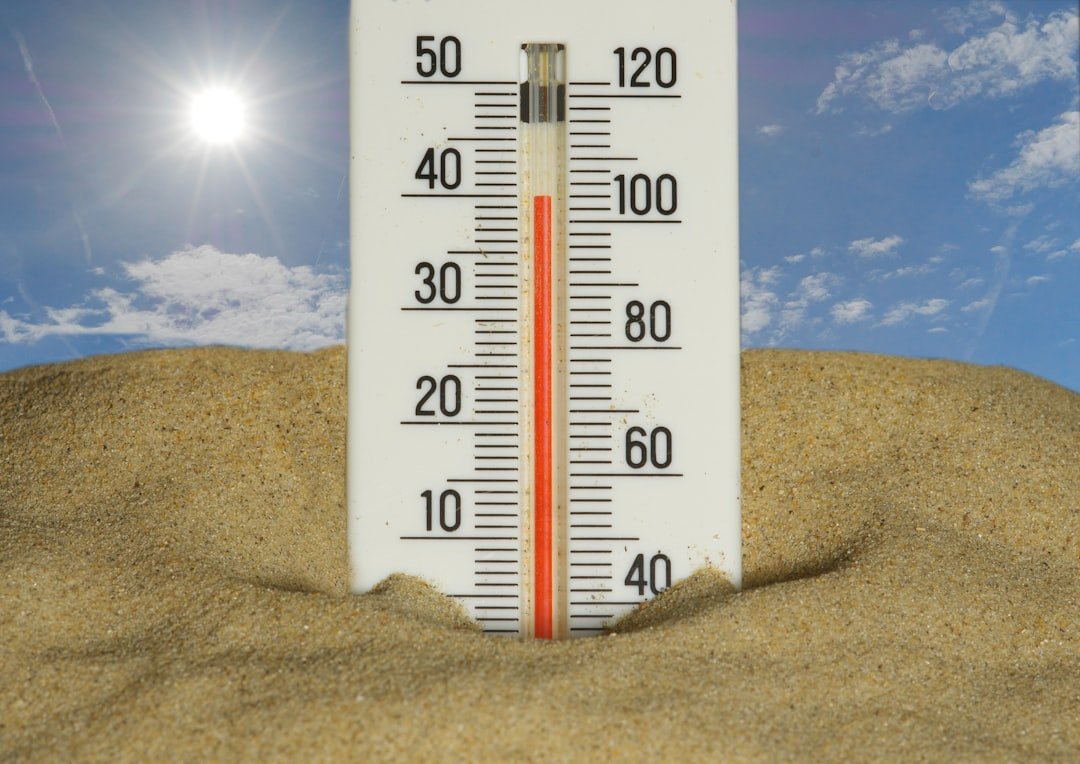
…and you thought the worst was over. Not even close. The massive heat dome that’s been suffocating the eastern half of the U.S. isn’t ready to budge—at least, not for everyone. While the Great Lakes and parts of the Northeast might finally catch a break this weekend, the Mid-Atlantic and Southeast are staring down more days of triple-digit misery. We’re talking about a system that’s already shattered records from Chicago to Charleston, and it’s not done yet.
Let’s get into the numbers, because that’s where the real story lives. As of Thursday afternoon, temperatures in Washington D.C. hit 101°F (38.3°C) at Reagan National Airport, breaking a 1988 record. Richmond, Virginia, touched 103°F. Raleigh, North Carolina? 104°F. And the heat index—that’s the “feels like” temperature, factoring in humidity—soared past 110°F in spots like Columbia, South Carolina, and Savannah, Georgia. This isn’t just uncomfortable. It’s dangerous. The National Weather Service has issued excessive heat warnings stretching from the Gulf Coast up to New Jersey, covering over 80 million people.
What’s driving this? A stubborn high-pressure system parked over the Southeast, acting like a lid on a boiling pot. It’s trapping heat and moisture, preventing the usual afternoon thunderstorms from offering relief. And here’s the kicker: this heat wave is part of a larger pattern that climate scientists have been warning about for years. As we covered in Without Climate Change, U.S. Heat Wave Called ‘Virtually Impossible’, a rapid attribution study found that human-caused climate change made this event at least 150 times more likely. The study, from World Weather Attribution, calculated that without the 1.2°C of global warming we’ve already baked in, a heat wave this intense would be a once-in-a-millennium event. Now? It’s on track to become a regular summer visitor.
Weekend Breakdown: Who Gets Relief, Who Doesn’t
The forecast models are painting a split-screen picture. By Saturday, a cold front will push southward across the Great Lakes, bringing highs in Chicago down to the upper 70s—a 25-degree drop from earlier this week. Detroit, Cleveland, and Buffalo will see similar cooldowns, with lows dipping into the 60s. Finally, some sleepable nights. But that front stalls out around the Mason-Dixon line. South of that? The heat cranks up even higher.
For the Mid-Atlantic, the heat index will remain dangerous through Sunday. Baltimore and Philadelphia can expect afternoon highs around 98-100°F, with humidity making it feel like 105-110°F. Washington D.C. won’t see much improvement—maybe a 2-3 degree drop, but still oppressive. The real concern, though, is the Southeast. Atlanta, Birmingham, Montgomery, and Jacksonville are all forecast to hit triple digits again on Saturday and Sunday. The heat index in these cities could approach 115°F. That’s the threshold where heat stroke becomes a serious risk even for healthy adults after just 30 minutes of outdoor activity.
“We’re seeing a classic pattern where the jet stream acts like a wall,” said Dr. Emily Carson, a meteorologist at the University of Oklahoma’s School of Meteorology. “The cold air slides east across Canada and dips into the Great Lakes, but it can’t push through the ridge of high pressure anchored over the Southeast. So the heat just recharges every day, like someone turning up the thermostat on a furnace.”
And it’s not just the daytime highs. Overnight lows—historically the body’s chance to recover—are staying in the low 80s in many areas. That’s critical because when nighttime temperatures don’t drop below 80°F, the mortality risk from heat waves spikes. The body can’t cool down. Air conditioning becomes a necessity, not a luxury. But that brings its own problems—strained power grids and rolling blackouts. The Tennessee Valley Authority, which supplies power to parts of seven states, has already asked customers to conserve energy between 2 PM and 8 PM through Sunday.
The Human Toll: Hospitals, Grids, and Local Economies
Let’s talk about what this means on the ground. Emergency rooms in the Southeast are reporting a surge in heat-related illnesses. In South Carolina, the state’s Department of Health and Environmental Control says heat exhaustion and heat stroke cases are up 40% compared to the same period last year. In Georgia, the emergency management agency has opened cooling centers in Atlanta, Augusta, and Savannah. But here’s the problem: many of these centers are only open during the day, leaving overnight vulnerable populations—like the homeless and elderly—exposed.
The power grid is the other ticking clock. The PJM Interconnection, which manages the grid for 13 states including the Mid-Atlantic, issued a warning on Thursday saying reserve margins could dip to dangerously low levels this weekend. They’ve activated emergency procedures to import power from neighboring grids. But forecasts show demand could exceed supply by Saturday afternoon if people crank up air conditioning to max. Rolling blackouts aren’t guaranteed, but they’re possible, especially in areas where the heat is most intense. Meanwhile, outdoor workers—construction crews, agricultural laborers, delivery drivers—are caught in the middle. There’s no federal heat standard for worker safety, though OSHA has started a rulemaking process. So for now, it’s on employers to provide water and shade. Many don’t.
And then there’s the coastline. The heat is also warming ocean temperatures along the Gulf and Atlantic coasts. Sea surface temperatures off Florida are in the upper 80s—several degrees above normal. That’s not just a problem for coral reefs (which are already bleaching); it’s also fuel for tropical systems. The Atlantic hurricane season is just ramping up, and warm water is the fuel that turns a depression into a Category 5. Something to watch as we move into July.
What’s Behind This? A Climate Context Check
I know, I know—every heat wave now comes with the climate change question. But the science is solid, and the data keeps piling up. The heat dome we’re experiencing isn’t just a random weather event. It’s being amplified by a warmer planet. Warmer air holds more moisture, which means higher humidity and a higher heat index. Warmer oceans add energy to the atmosphere, which can make weather patterns—like high-pressure ridges—more intense and longer-lasting. That’s not opinion. That’s physics.
Consider this: according to NOAA’s climate.gov, the average temperature in the contiguous U.S. for June 2024 was the third-warmest on record, behind only 2021 and 1936 (the Dust Bowl years). But what’s different now is the persistence. Heat waves are lasting longer. The one in 1936 lasted about 12 days in parts of the Midwest. This year’s event has already lasted 10 days in some spots, with no end in sight for the Southeast. And the spatial extent is larger—covering an area about the size of Western Europe.
There’s also a local angle that doesn’t get enough attention: urban heat islands. Cities like Atlanta, Charlotte, and Washington D.C. are basically concrete-and-asphalt ovens. They absorb heat during the day and release it slowly at night. A study from the University of Georgia found that Atlanta’s urban core can be up to 12°F hotter than surrounding rural areas during a heat wave. So when the forecast says 100°F, it might be 108°F in a parking lot in Buckhead. That’s not just an inconvenience—it’s a public health disparity. Low-income neighborhoods, often with less tree cover and more pavement, bear the brunt.
“We’ve known for decades that heat waves are the deadliest natural disaster in the U.S., killing more people than hurricanes, tornadoes, or floods combined,” said Dr. Michael Jacobs, an emergency physician at Emory University Hospital in Atlanta. “But because they’re slow and invisible, they don’t get the same urgency. We’re seeing patients in their 70s who live alone without AC, who don’t realize they’re in trouble until they collapse. By then, it’s often too late.”
The CDC estimates that an average of 702 heat-related deaths occur each year in the U.S., but that number is likely an undercount because many deaths from heart attacks or strokes are exacerbated by heat but not coded that way. A 2020 study in the journal Environmental Health Perspectives put the true number closer to 5,000 to 12,000 per year. And as heat waves become more frequent, that number will climb. The CDC’s Climate and Health Program projects that by 2050, heat-related deaths could quadruple under a high-emissions scenario.
What You Can Do (And Why It Matters)
So what’s the takeaway? If you’re in the Northeast or Great Lakes—celebrate, but don’t gloat. The relief is temporary, and the heat will likely return. If you’re in the Mid-Atlantic or Southeast, hunker down. Stay hydrated. Check on elderly neighbors. And for the love of everything, don’t leave kids or pets in parked cars. Even with windows cracked, the interior can reach 130°F within 10 minutes. It’s not worth the risk.
For those planning outdoor celebrations for the July 4th weekend—and I know many of you are—consider adjusting your schedule. Do the fireworks viewing at night, but avoid peak sun hours between 11 AM and 4 PM. If you’re grilling, there’s even a climate angle there. Our report on Burger vs. Bratwurst: Which Grill Choice Is Greener This July 4? breaks down the carbon footprint of your cookout choices. Spoiler: chicken and plant-based options win, but local beef beats imported anything.
And look, I’m not here to preach. But if this heat wave tells us anything, it’s that we’re living in a climate that’s changing faster than our infrastructure can adapt. The power grids are straining. The emergency rooms are overflowing. The urban heat islands are cooking our most vulnerable citizens. The solutions aren’t sexy—they’re things like reflective roofs, tree planting, and better building codes. But they work. And the sooner we start implementing them at scale, the fewer stories like this we’ll have to write.
Next week, the forecast models hint at a potential pattern shift around July 10. That could bring a cold front all the way down to the Gulf Coast, finally breaking the heat dome. But that’s a maybe. For now, the heat lingers. And the only certainty is that it’s not over yet.
Frequently Asked Questions
Why is the heat wave lasting longer this year?
This heat wave is being driven by a persistent high-pressure system, often called a “heat dome,” that’s been stalled over the eastern U.S. Climate change is making these patterns more common and more intense. Warmer ocean temperatures and a slower jet stream due to Arctic warming are contributing factors. According to a World Weather Attribution study, human-caused climate change made this event at least 150 times more likely than in a pre-industrial climate.
What’s the difference between a heat advisory and an excessive heat warning?
A heat advisory is issued when the heat index is expected to reach 100-105°F for two or more days. An excessive heat warning is more severe—triggered when the heat index hits 105°F or higher for at least two days, or 110°F in some regions. Warnings mean there’s a high risk of heat stroke and other heat-related illnesses, especially for vulnerable populations like the elderly, children, and outdoor workers.
How can I protect myself without air conditioning?
If you don’t have AC, find local cooling centers—many libraries, malls, and community centers are open as designated shelters. Take cool showers or baths. Use fans, but remember that above 95°F, fans can actually increase heat stress by blowing hot air at you. Stay on the lowest floor of your building, avoid using ovens or stoves, and hydrate with water (avoid alcohol and caffeine). Most importantly, don’t wait until you feel sick—check your local health department’s website for heat safety tips.



