







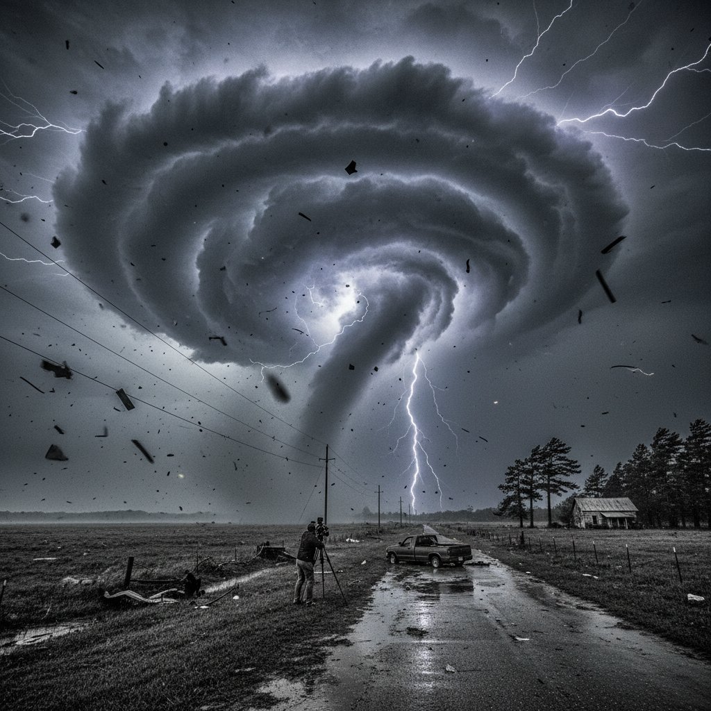
The first siren wailed at 3:47 AM EST on March 16, 2025, near the town of Williamston, North Carolina. Within twenty minutes, a supercell thunderstorm had carved a 12-mile path of destruction through Martin County, flipping mobile homes, shearing roofs off brick ranchers, and snapping century-old oaks like matchsticks. This wasn’t a drill. For northeast North Carolina—a region still haunted by Hurricane Florence’s record floods in 2018 and the catastrophic tornado outbreak of April 2011—the overnight hours brought a brutal reminder of nature’s indifference.
As of 8:00 AM, the National Weather Service office in Newport/Morehead City has logged six preliminary tornado reports from Carteret County north to the Virginia line. Three of those are already rated EF-1 or higher, with one possible EF-2 near Edenton. Wind speeds there likely peaked at 125 mph. But the tornadoes are only half the story. The real devil, as it often is in coastal Carolina, is the water.
Rainfall rates spiked at 3.2 inches per hour over parts of Camden and Pasquotank counties between 2 AM and 4 AM. Creeks that usually meander at ankle depth became raging torrents in less than an hour. The Pasquotank River at Elizabeth City rose 4.7 feet in six hours, flirting with major flood stage by daybreak. And the worst may still be coming.
Why This Setup Is Different
What we’re seeing here is a textbook—actually, more of a hybrid—pattern. A slow-moving upper-level low spinning over the Ohio Valley is pumping anomalously warm, moist air northward from the Gulf Stream, which is currently running 4°F above average for mid-March. That moisture-laden air is colliding with a sharp stationary front draped right across the Albemarle and Pamlico Sounds. You don’t need a degree in meteorology to know that’s a recipe for trouble.
Compare this to the freak fog that paralyzed NYC’s CBD last November. That event was all about poor visibility and zero mobility. This one is about raw kinetic energy and hydrostatic pressure—the silent, crushing weight of floodwater against a home’s foundation.
Dr. Elena Vasquez, a research meteorologist at North Carolina State University’s Climate Office, put it plainly: “We’re looking at a 1-in-50-year rainfall event for the northeastern coastal plain, with a secondary threat of spin-up tornadoes through the afternoon. The CAPE values—Convective Available Potential Energy—exceeded 2,500 J/kg this morning. That’s July-level instability in March.”
Confidence This Is Real
“This is not a typical spring squall line. The low-level jet at 850 mb is clocking 55 to 60 knots. When you combine that with dewpoints in the mid-60s and a capping inversion that’s already been eroded by overnight rain, you get a volatile atmosphere that keeps regenerating cells over the same areas. Flash flooding will be the primary hazard through Thursday,” said Mark Ellis, Warning Coordination Meteorologist at NWS Newport/Morehead City.
So yeah—the models have been consistent for 72 hours now. The European ensemble shows a 70% probability of exceeding 6 inches of rain in a swath from Greenville to the Outer Banks. The American GFS is even wetter. That’s not a question of “if.” It’s a question of “how quickly.”
The Flood Threat: It’s Not Just the Rivers
We talk a lot about river flooding—and for good reason. The Roanoke River at Hamilton crested at 12.3 feet last night, minor flooding. But the real story is urban flash flooding. Streets in Elizabeth City, Hertford, and Edenton were already impassable by 5 AM. Low-lying neighborhoods near the Pasquotank River estuaries reported water entering garages and ground-floor living spaces.
The city of Elizabeth City has opened two emergency shelters at the Paul D. Camp Community College campus and the Riverview Elementary School gymnasium. Officials are urging any resident in the flood-prone areas between Water Street and Halstead Boulevard to relocate immediately. Don’t wait for a knock on the door.
It’s worth remembering that this same area was underwater during the unprecedented heat dome that baked the Pacific Northwest in 2021? No, different hazard—but the lesson is the same: extreme weather doesn’t care about your timeline. The heat dome showed us how fast a climate system can shift from one extreme to another. Here, it’s a shift from a calm, foggy evening to a tornado-warned night in six hours flat.
What’s Next: The Afternoon Window
Here’s the part that keeps meteorologists up at night. The showers and storms we saw overnight are expected to reinvigorate by mid-afternoon, between 2 PM and 6 PM, as daytime heating destabilizes the atmosphere further. The Storm Prediction Center has placed all of northeastern NC under a Moderate Risk (level 4 of 5) for severe thunderstorms Thursday afternoon. That’s right—level 4. For context, we see a level 4 maybe three or four times a year in the entire United States.
Primary threats for the afternoon include: tornadoes (a few could be strong, EF-2+), damaging winds up to 80 mph, very large hail—possibly the size of golf balls or hen eggs—and continued flash flooding. The tornado threat is especially concerning because these will likely be quick, rain-wrapped spin-ups. You won’t see them coming until they’re on top of you. Have multiple ways to receive warnings. No, a single weather app notification isn’t enough. Keep a NOAA weather radio on, and let the Wireless Emergency Alerts do the heavy lifting on your phone.
Coastal Concerns
The Outer Banks aren’t safe either, though the storm mode there leans more toward flooding and gusty winds. Hatteras Island saw 2.5 inches of rain overnight, and the ferries between Hatteras and Ocracoke are suspended until further notice due to rough seas and reduced visibility. Not exactly beach weather—and we’re only six weeks out from the start of hurricane season. Lightning frequency in the morning hours over the Pamlico Sound was exceptional, with over 400 cloud-to-ground strikes recorded between 1 AM and 7 AM.
Let me be direct with you, our readers in this region: this is one of those days where you treat the forecast with the same seriousness you would a hurricane watch. We know that sounds dramatic. It’s mid-March, not September. But the numbers don’t lie—2,500 J/kg CAPE, 55-knot low-level jet, 3+ inches per hour rainfall rates. Those are the ingredients of a multiday disaster, not a garden-variety thunderstorm.
The bottom line: northeastern North Carolina is in for a rough 48 hours. The immediate focus is on flooding and tornadoes through Thursday evening. After that, the flash flood threat slowly eases, but rivers like the Scuppernong, the Alligator, and the Chowan will remain swollen into the weekend. If you live in this area, don’t let your guard down just because the radar clears. The real damage—mold in walls, washed-out roads, ruined crops—is just beginning.
Frequently Asked Questions
How can I stay safe during flash flooding in northeastern NC?
Turn around, don’t drown. Never drive through water of unknown depth—just six inches of moving water can knock you off your feet, and 12 inches can sweep a car away. Move to higher ground before conditions worsen. If you’re in a flood-prone area, have a go-bag ready and evacuate when officials advise. Stay dialed into NOAA Weather Radio or local emergency channels.
Why are tornadoes possible in this storm system?
The combination of very warm, moist air from the Gulf Stream and strong wind shear—changes in wind speed and direction with height—creates the spin needed for tornadoes. With CAPE values over 2,500 J/kg, the atmosphere has extreme instability, allowing updrafts to rotate. The low-level jet provides the twist. Rain-wrapped tornadoes are especially dangerous because they’re hard to see.
What should I do if I’m caught in a tornado warning?
Immediately move to the lowest level of your building, away from windows. A basement or interior closet is best. Cover your head and neck with a mattress, helmet, or pillows. Do not stay in a mobile home—evacuate to a pre-identified sturdy shelter. Never try to outrun a tornado in a vehicle. Stay put until the warning has expired or you hear the all-clear from officials.



