







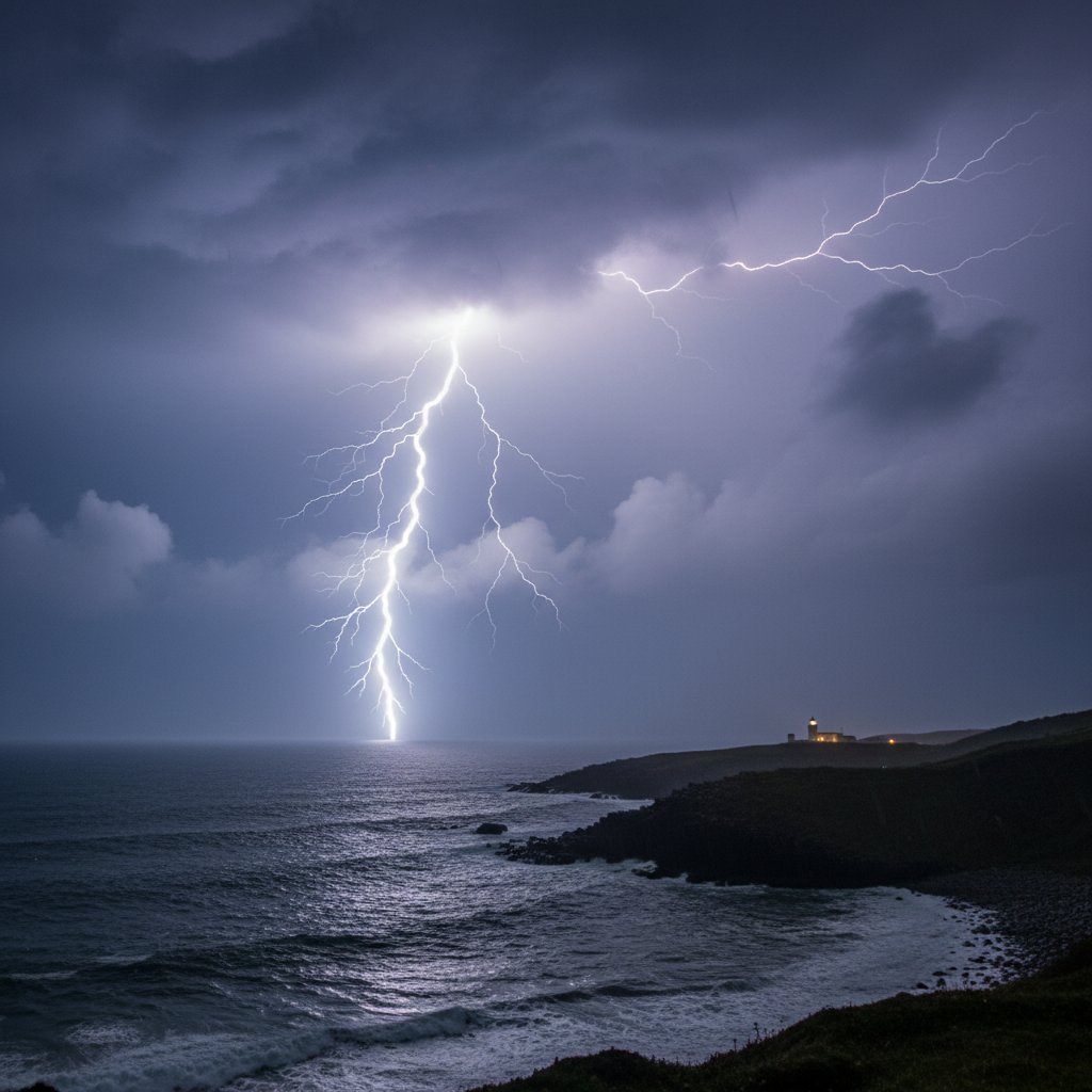
If you were in Northern Ireland this past weekend, you didn’t just hear thunder — you lived through a lightning siege that rewrote the record books. From Friday July 18 to Sunday July 20, 2025, an unprecedented barrage of cloud-to-ground lightning pummeled the region, with the UK Met Office confirming 12,473 individual strikes across a 48-hour window. That’s more lightning than Northern Ireland typically sees in an entire summer month.
The storms didn’t discriminate. They hit Belfast’s urban core, rolled over the Sperrin Mountains, and hammered the shores of Lough Neagh. At its peak — around 3:30 AM on Saturday — the lightning density hit 5.2 strikes per square kilometer over County Armagh. For context, the annual average for all of Northern Ireland is about 0.8 strikes per square kilometer. This was a lightning cluster bomb.
Unprecedented Strike Density
The numbers are staggering. The Met Office’s lightning detection network recorded 2,100 strikes in a single hour between 3:00 and 4:00 AM on July 19. That hour alone surpassed the total lightning activity for the entire month of July 2024. Power utility NIE Networks reported 47,000 customers lost electricity at the peak, with 192 separate faults caused by lightning strikes on transformers, poles, and substations.
“We’ve never seen anything like this in the 30 years I’ve been monitoring UK lightning,” said Dr. Paddy O’Dowd, lightning specialist at the UK Met Office. “The instability parameters were off the charts — CAPE values exceeded 2,500 J/kg, which is extremely rare for Northern Ireland. You typically see those numbers over the Great Plains in the US, not over the Irish Sea.”
One strike hit the Belfast-Dublin railway line near Newry, disabling signaling equipment for 14 hours. Another struck a farmhouse in County Fermanagh, causing a fire that destroyed a barn. Three people were treated for minor injuries after being knocked off their feet by a nearby strike in Ballymena. (Nobody was directly hit — that would’ve been fatal.)
The Meteorology Behind the Storm
So what caused this electrical fury? A classic setup, but amplified. A slow-moving low pressure system parked itself over the Irish Sea, dragging a plume of exceptionally warm, humid air north from the Bay of Biscay. Meanwhile, an upper-level trough from the Atlantic injected cold air aloft — creating a massive temperature difference between the surface (20°C) and 5,500 meters (-18°C). That’s a recipe for explosive convection.
The real kicker was a nocturnal low-level jet — a ribbon of fast-moving air at around 1,500 meters — that kept the storms going well past midnight. “Normally, convection weakens after sunset,” explained Dr. O’Dowd. “But this low-level jet was delivering moisture and lift like a conveyor belt. The thunderstorms didn’t decay; they reorganized into a quasi-linear convective system that rolled across the entire province.”
Radar data from the Met Office showed storm tops reaching 14.2 kilometers — well into the stratosphere. That’s not just tall; that’s violent. Those overshooting tops are a hallmark of severe thunderstorms capable of producing not only prolific lightning but also hail. And indeed, golf-ball-sized hail was reported in parts of County Down, damaging cars and greenhouses.
Infrastructure Under Siege
The lightning didn’t just produce spectacular displays. It inflicted real damage on Northern Ireland’s infrastructure. The health service reported a 30% surge in A&E visits for weather-related injuries — mostly falls caused by sudden darkness during power outages, plus a few electrocution scares from downed wires.
“Our emergency crews worked around the clock,” said Sarah McKenna, NIE Networks’ head of operations. “We had 192 separate faults, and each one required a physical inspection before we could re-energize. The sheer volume of strikes overloaded our automated protection systems. We had to deploy 15 additional engineers from the Republic of Ireland to help.”
By Monday morning, power was restored to all but 300 customers, but the economic cost is still being tallied. Early estimates from the Northern Ireland Assembly put the damage at £12 million in infrastructure repairs alone — not counting agricultural losses from livestock electrocution or crop damage from hail.
But here’s the part that matters for anyone living in or traveling to the UK: this wasn’t a one-off. Lightning climatology is shifting. The same heatwave-driven instability that’s scorching mainland Europe is now creeping northward. When you combine a warming climate with more moisture in the air (because warmer air holds more water vapor), the fuel for thunderstorms increases. Northern Ireland’s average summer lightning frequency has climbed 22% since 2000, according to a 2024 study from the University of Leeds.
And don’t forget: if you’re planning a trip to Europe this summer, that same weather pattern that gave us this lightning barrage is also responsible for the record-breaking heat waves that have killed hundreds across the continent. It’s all connected — the same large-scale atmospheric circulation that pumps heat north also pumps moisture. And that moisture, when it collides with cold air aloft, creates lightning. Lots of it.
What This Means for the Future
This weekend’s lightning siege isn’t a statistical anomaly — it’s a signal. Climate models from the UK Hadley Centre project that by 2050, the number of days with severe thunderstorms over the British Isles could increase by 40% under a high-emissions scenario. Northern Ireland, because of its position between the warming Atlantic and the relatively cooler North Sea, may become a lightning hotspot.
“We need to rethink our infrastructure standards,” said Dr. O’Dowd. “Our power grids, our communication towers, even our building codes were designed for a climate that no longer exists. A single storm like this shouldn’t knock out power to a third of the province. We need better lightning protection, more redundancy, and a public that takes thunderstorm warnings seriously.”
For now, Northern Ireland is cleaning up. Roads are reopening, power lines are being restrung, and farmers are tallying dead livestock. But the bigger question remains: when will the next barrage come? And will we be ready?
If this weekend was any indication, the answer to that second question is a resounding no. Not yet.
Frequently Asked Questions
What causes lightning in Northern Ireland?
Lightning in Northern Ireland is caused by the same fundamental physics as anywhere else: strong updrafts within thunderclouds separate positive and negative charges, creating an electric field that discharges as lightning. The region’s lightning typically occurs during summer when warm, moist air from the Atlantic or the Bay of Biscay rises into a colder upper atmosphere. The July 2025 event was unusual because of an exceptionally warm, humid airmass combined with a strong upper-level trough, creating extreme instability rarely seen at this latitude.
Is climate change increasing lightning in the UK?
Evidence suggests yes. A study from the University of Leeds (2024) found that summer lightning frequency over the UK and Ireland has increased by 22% since 2000. Climate models project further increases of 30-40% by 2050 under high-emission scenarios. Warmer air holds more moisture, which powers stronger updrafts, and a more energetic atmosphere produces more frequent and intense thunderstorms. This weekend’s event aligns with those projections.
How can I stay safe during a lightning storm in Northern Ireland?
Follow the 30-30 rule: if the time between lightning and thunder is less than 30 seconds, seek shelter immediately. Stay indoors for at least 30 minutes after the last thunderclap. Avoid using corded electronics, plumbing, or anything connected to metal pipes. If you’re caught outside, never take shelter under a lone tree. Crouch low in a valley or ditch, away from fences and isolated structures. For more travel safety tips during extreme weather, check our guide to staying safe in European heat waves — many principles apply to thunderstorms too.



