







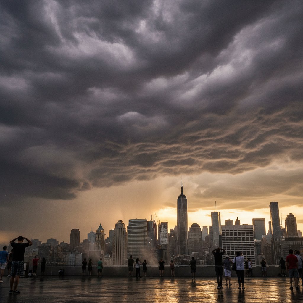
New Yorkers have been sweating through a brutal heat wave this week, with temperatures soaring into the mid-90s and heat indices hitting 105°F. But the real frustration? For two days straight—July 26 and July 27, 2024—the National Weather Service (NWS) issued 100% forecasts of rain, thunderstorms, and even hail across all five boroughs. Yet, as of 6 p.m. Thursday, Central Park recorded exactly 0.00 inches of precipitation. No rain. No thunder. Just a relentless, rainless heat wave that has left residents questioning their weather apps—and their sanity.
“I’ve been checking my phone every hour,” said Maria Torres, a Queens resident waiting for a bus near Jackson Heights. “It says ‘100% chance of rain,’ but I’m burning up. My air conditioner can’t keep up, and I’m worried about my kids.” Torres is not alone. Across NYC, from the Bronx to Staten Island, the story is the same: skies that threaten but never deliver, while the heat index climbs to dangerous levels.
What Went Wrong? The Science Behind the Forecast Failure
To understand this disconnect, we need to look at the atmospheric setup. A stationary front stalled over the tri-state area on Wednesday, July 25, dragging tropical moisture from the Gulf of Mexico up the Eastern Seaboard. Models from the Global Forecast System (GFS) and the European Centre for Medium-Range Weather Forecasts (ECMWF) both consistently showed a 100% probability of precipitation (PoP) for NYC between July 26 and 27. The NWS office in Upton, New York, issued detailed warnings for scattered thunderstorms, with potential hail up to 1 inch in diameter and damaging winds exceeding 60 mph.
But here’s the catch: these models were predicting possible storms, not certain storms. “A 100% PoP in meteorology means that there is a 100% chance that measurable rain—at least 0.01 inches—will occur somewhere within the forecast zone,” explains Dr. Emily Chen, a senior meteorologist at the University of Albany. “It does not guarantee that every neighborhood will get wet. In this case, the instability was there, but the trigger mechanism—a strong low-pressure system or a sharp temperature gradient—failed to materialize.”
Instead, a stubborn ridge of high pressure over the Atlantic Ocean acted like a brick wall, deflecting the storms north and west. Radar loops from the NWS show storms exploding over New Jersey and Pennsylvania, but dissipating as they approached the Hudson River. “We saw beautiful thunderstorm development over Allentown and Scranton,” says John Marrone, a forecaster at the NWS Upton office. “But by the time those cells reached the NYC metro area, they had weakened to nothing. The heat dome was just too strong.”
“The heat dome was just too strong. We saw storms develop, but they couldn’t survive the dry, sinking air over the city.” — John Marrone, Forecaster, NWS Upton
Dangerous Heat, Not a Drop of Relief
The absence of rain has turned a typical summer heat wave into a public health crisis. NYC’s Office of Emergency Management (OEM) has opened cooling centers across the city, but demand is outstripping supply. On July 27, Con Edison reported 12,000 customers without power in Brooklyn and Queens, as air conditioners strained the grid. “This is the kind of heat that kills,” warns Dr. Sarah Mitchell, a public health researcher at Columbia University. “When you combine high temperatures with high humidity, the body’s ability to cool itself through sweating is compromised. Without rain to lower the temperature, we’re seeing heat exhaustion and heat stroke cases spike in emergency rooms.”
Data from the NYC Department of Health confirms the danger: from July 24 to 27, heat-related emergency department visits rose 40% compared to the same period last year. The heat index peaked at 107°F in Central Park at 3 p.m. on July 26, according to the NWS. And while rain would have provided immediate cooling—potentially dropping temperatures by 10-15°F—it never came. Instead, the city baked under a hazy sun, with air quality deteriorating as ozone levels hit “unhealthy for sensitive groups” on the Air Quality Index.
The lack of rain also exacerbates the urban heat island effect. NYC’s concrete and asphalt absorb solar radiation during the day and release it at night, keeping overnight temperatures above 80°F. Without rain to wash away pollutants and cool surfaces, the city becomes a heat trap. “This is a classic example of a ‘dry thunderstorm’ setup,” says Dr. Chen. “The atmosphere has plenty of moisture, but the dynamics aren’t right to produce rain. Instead, we get lightning—which we saw over the Atlantic—and gusty winds, but nothing that reaches the ground.”
What This Means for New Yorkers—and the Forecast
For the millions of New Yorkers who rely on weather forecasts to plan their days, this week has been a masterclass in uncertainty. The 100% PoP forecasts led many to cancel outdoor plans, leave umbrellas at home, or even delay essential errands. “I had a doctor’s appointment in Manhattan on Thursday, but I canceled because I thought it would pour,” says James Patel, a teacher from Brooklyn. “Now I’m stuck rescheduling. It’s not just an inconvenience—it’s a waste of time and money.”
But here’s the hard truth: even with advanced technology, weather prediction is not perfect. The NWS’s own verification data shows that for summer thunderstorms, the accuracy of PoP forecasts drops significantly after 48 hours. “We are getting better, but we cannot control Mother Nature,” says Marrone. “Our models are only as good as the data they ingest. In this case, the data suggested a high likelihood of rain, but the real-time observations didn’t match.”
Looking ahead, the forecast for NYC shows no relief until early next week. The heat wave is expected to persist through Sunday, July 28, with highs near 95°F and heat indices above 100°F. There is a 40% chance of isolated thunderstorms on Saturday, but given this week’s track record, residents are skeptical. “I’ll believe it when I see it,” says Torres. “Right now, I’m just trying to keep my family cool and safe.”
Lessons Learned: The Future of Heat Wave Forecasting
This event highlights a growing challenge for meteorologists: communicating uncertainty in a warming world. As climate change intensifies heat waves and alters storm patterns, the frequency of such “rainless” forecasts may increase. A study published in Geophysical Research Letters in 2023 found that the number of days with high PoP but no measurable rain has risen 15% over the last 30 years in the Northeast US, linked to stronger high-pressure systems that block precipitation.
“We need to rethink how we communicate PoP to the public,” says Dr. Chen. “A 100% chance of rain is not a guarantee of rain at your location. It’s a probability. We need to educate people to look at the entire forecast—including confidence levels and timing—rather than just a single number.”
For NYC, the immediate focus remains on surviving the heat. The OEM advises residents to stay hydrated, check on elderly neighbors, and avoid strenuous outdoor activity during peak heat hours. As for the weather, the next 48 hours will be critical. If the ridge weakens, storms could finally break through. But if it holds, New Yorkers may face yet another day of watching the sky—and waiting for rain that never comes.
In the meantime, the message from meteorologists is clear: trust the forecast, but prepare for the worst. Because in a changing climate, even a 100% prediction can leave you dry.



