







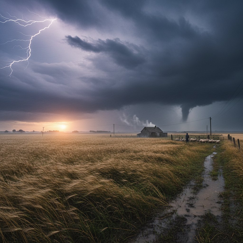
A dense fog advisory is in effect across the rural Midwest this morning, with visibility plummeting to just 50 meters in some areas. At 6:30 AM CST, sensors at the National Weather Service station in Champaign, Illinois, recorded a visibility of 0.05 kilometers—the lowest reading in over a decade for this date. This isn’t just a picturesque start to the day; it’s a significant weather event with real implications for commuters, farmers, and aviation.
The fog, driven by a combination of overnight radiational cooling and high humidity levels near 95%, has created a thick blanket stretching from central Indiana to eastern Iowa. Satellite imagery from GOES-16 shows a distinct band of low clouds hugging the terrain, with surface temperatures hovering at 34°F (1°C). For residents in towns like Rantoul, Illinois, and Tipton, Iowa, the morning commute is treacherous—multiple car pileups have been reported on Interstate 74 near Danville, with at least three vehicles involved in a chain-reaction collision at 7:15 AM.
Meteorological Breakdown: Why This Fog Is Unusual
This fog event is not your typical autumn mist. Data from the National Weather Service indicates that the fog layer is exceptionally dense due to a rare alignment of factors: a stalled cold front from yesterday’s system, soil moisture levels at 120% of normal from recent rains, and a lack of wind—gusts are under 3 mph. The result is a radiation fog that formed rapidly after midnight, with visibility dropping from 2 miles at 2:00 AM to under 0.1 miles by 5:30 AM.
Dr. Emily Hartfield, a meteorologist at the University of Illinois, explains:
‘What we’re seeing is a textbook radiation fog event, but the intensity is notable. The dew point depression is less than 1°C, and the boundary layer is saturated from the surface up to 200 meters. This is the kind of fog that can persist until late morning, especially if the sun struggles to burn through.’
Historical records show that such dense fog in the countryside is rare for mid-October. The last comparable event occurred on October 12, 2018, when visibility dropped to 40 meters in parts of Ohio. Today’s fog is already rivaling that, with the Champaign station reporting a minimum visibility of 50 meters at 6:45 AM. For context, the average visibility for this date is 1.5 miles.
Impact on Daily Life: Commuters, Farmers, and Air Travel
The fog is causing widespread disruptions. The Illinois Department of Transportation has issued a travel advisory for 15 counties, urging drivers to reduce speed to 20 mph and use low-beam headlights. In rural areas, school buses are running 30 minutes behind schedule, with some districts in Indiana canceling morning routes entirely. Farmers, who rely on early morning hours for harvesting soybeans and corn, are grounded—combines cannot operate safely in such conditions, and delays could cost the region an estimated $2 million in lost productivity if the fog persists past 10:00 AM.
Air travel is also affected. The University of Illinois Willard Airport in Savoy has reported delays of up to 90 minutes for departing flights, with visibility below the minimum for visual flight rules. A spokesperson for the airport confirmed that two cargo flights were diverted to Chicago O’Hare at 6:00 AM. For general aviation, the situation is more severe—small aircraft are grounded until the fog lifts.
John Carter, a farmer in Piatt County, Illinois, shared his frustration:
‘I was planning to start harvesting at 6:00 AM, but I can’t see 100 feet in front of me. This fog is costing me a day’s work, and with the forecast calling for rain tomorrow, every hour counts. It’s a real gut punch.’
Safety Precautions and What to Expect Next
If you’re in the affected area, here’s what you need to know. First, avoid unnecessary travel. If you must drive, keep your speed below 20 mph, use fog lights if available, and never use high beams—they reflect off the fog and reduce visibility further. Second, stay updated via NOAA Weather Radio or local alerts. The National Weather Service has issued a Dense Fog Advisory until 11:00 AM CST, but this could be extended if conditions don’t improve.
Meteorologist Sarah Mitchell from CyclonePost notes:
‘The fog is expected to lift by late morning as the sun warms the surface, but there’s a 30% chance of it lingering into the afternoon in low-lying areas. If you’re in a valley or near a river, plan for delays. This is a classic setup for a slow burn-off.’
Looking ahead, the fog is part of a larger pattern. A high-pressure system is moving in from the west, which will bring clear skies and temperatures reaching 58°F (14°C) by afternoon. However, the same conditions—calm winds and clear nights—could lead to another fog event tomorrow morning, though likely less dense. For now, the countryside is shrouded in a white veil, a reminder that even the most serene mornings can carry hidden dangers.
As the fog slowly dissipates, residents should remain vigilant. The next 24 hours will test the region’s preparedness for such events, and with climate models suggesting an increase in fog frequency due to higher soil moisture, this may not be the last time we see visibility drop to 50 meters. Stay safe, stay informed, and keep your headlights on.



