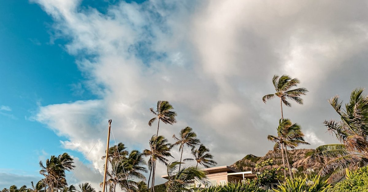
For most Americans, Hawaii conjures images of gentle trade winds and rainbows over volcanic slopes. But every few years, the islands face a stark, sobering reality: hurricanes. As Hurricane Fausto churns across the Central Pacific, its path and intensity raise questions that go beyond a typical weather bulletin. This storm isn’t just about wind speeds—it’s a test of how prepared the Aloha State really is for the next big one.
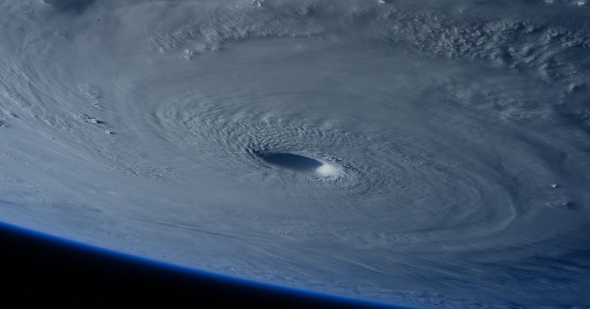
Fausto, which formed as a tropical depression far southeast of Hawaii, has steadily intensified into a Category 2 hurricane with sustained winds near 100 mph. According to the Central Pacific Hurricane Center (CPHC), the storm is currently tracking west-northwest, passing well south of the Big Island, but its outer bands are already brushing the southern shores. The real concern? Not a direct hit, but the storm’s potential to stall, wobble, or intensify further as it enters warmer waters.
Hawaii’s hurricane history is deceptive. The islands haven’t seen a major hurricane landfall since Iniki in 1992—a Category 4 that killed six people and caused $3.1 billion in damage. That’s over three decades of relative calm. And that, meteorologists warn, has bred a dangerous complacency. The National Hurricane Center has repeatedly noted that Hawaii’s hurricane season runs from June to November, but public attention often drifts during the peak months of August and September. Fausto is a reminder that the ocean doesn’t care about our calendars.
The Fausto Factor: What Makes This Storm Different
Fausto isn’t your typical Pacific hurricane. It’s developing in a region where sea surface temperatures have been running 1-2°F above average, a trend scientists link to a warming climate. Warmer water fuels stronger storms. The CPHC’s latest advisory projects Fausto could reach Category 3 status within 48 hours—a major hurricane. But here’s the twist: the storm’s interaction with an upper-level trough could cause it to slow down, potentially increasing rainfall over the already wet windward sides of the islands.
Flash flooding, not wind, is Hawaii’s greatest hurricane threat. The mountainous terrain can wring out 10-20 inches of rain in 24 hours, triggering landslides that cut off communities like Hana on Maui or the Puna district on the Big Island. The National Weather Service has already issued a Flood Watch for all islands through the weekend. And let’s be honest—nobody in Hawaii needs a reminder of what water can do after the 2018 Kilauea eruption and the 2021 floods that devastated Kauai.
But there’s another angle here that most coverage misses: what this means for you, whether you’re in Honolulu, Hilo, or just watching from the mainland. Hawaii’s emergency management agencies are using Fausto as a dry run for a scenario that keeps disaster planners up at night—a slow-moving hurricane that parks over Oahu. The island holds nearly 70% of the state’s population and billions of dollars in infrastructure. A direct hit on Oahu would be catastrophic, disrupting supply chains for everything from food to fuel. New York City’s recent investment in flood prevention highlights how urban areas are waking up to this threat, but Hawaii’s unique geography makes evacuation nearly impossible. There’s only so many planes and ships.
History Repeating? Lessons from Iniki and Lane
Hawaii’s hurricane amnesia is real. Before Iniki, the last major hurricane to hit was Iwa in 1982. That’s a ten-year gap that bred the same kind of ‘it won’t happen here’ attitude. Then Iniki barreled into Kauai with a 20-foot storm surge that tossed boats onto hotel lawns. Iniki’s lesson was that even a small island state can be blindsided by a storm that intensifies rapidly just before landfall. Sound familiar? Fausto is following a similar track—far south, then a potential northward turn.
Then there was Hurricane Lane in 2018. Lane didn’t make landfall, but it parked just south of the islands, dumping record rainfall—over 50 inches on parts of the Big Island. That storm caused $250 million in damage without ever coming ashore. That’s the nightmare scenario with Fausto: a near-miss that still wreaks havoc. The CPHC is watching a ridge of high pressure to the north that could steer Fausto closer. A wobble of just 50 miles could mean the difference between a rain event and a disaster.
For residents, the practical takeaway is clear: don’t focus on the cone. Focus on the impacts. The cone shows the center’s probable path, but the effects stretch hundreds of miles. And with Fausto’s wind field expanding, even a pass to the south means strong winds for the Big Island and Maui. Power outages are likely. So are road closures. The Hawaii Tourism Authority has already advised visitors to postpone non-essential travel to the islands. That’s a gut punch for an economy still recovering from the pandemic.
What This Means for You: Preparation Isn’t Panic
Look, preparing for a hurricane that might not hit feels wasteful. It’s not. The state’s emergency management officials are urging residents to have at least 14 days of supplies—water, food, medication, cash. Why 14 days? Because after a major hurricane, ports can be damaged, and it could take two weeks for the military to restore supply chains. That’s not fear-mongering; that’s logistics. The state’s lone major port in Honolulu handles nearly 80% of all goods. A Category 3 storm could shut it down for weeks.
If you’re reading this from the mainland and wondering why you should care, here’s the answer: Hawaii’s economy is deeply integrated with the U.S. mainland. A hurricane that disrupts tourism—the state’s largest industry—sends ripples through airlines, hotel chains, and agricultural exports like macadamia nuts and coffee. And if the storm damages military installations like Pearl Harbor or Schofield Barracks, that’s a national security issue.
But there’s a quieter story here, too. The storm is a reminder that climate change is loading the dice. Warmer oceans, higher sea levels, and more moisture in the atmosphere all amplify hurricane risk. Hawaii’s coral reefs, already stressed by bleaching, offer less protection against storm surge. And the state’s aging infrastructure—some dams date back to the 19th century—isn’t built for 21st-century storms. The UK’s windfarm retrofit shows how even energy systems can be upgraded for resilience. Hawaii could use a similar rethink.
So, as Fausto churns across the Pacific, it’s not just a weather event. It’s a stress test for a state that knows hurricanes are coming but can’t afford to be caught off guard. The good news? The CPHC’s forecasts are more accurate than ever, giving residents days to prepare. The bad news? A storm doesn’t need to make landfall to change lives. Ask anyone on Kauai who remembers Iniki. Or ask the people on the Big Island who watched Lane’s rain gauge fill up like a bathtub. Fausto is a warning, and it’s one we should all heed.
Frequently Asked Questions
Is Hurricane Fausto expected to hit Hawaii directly?
As of the latest CPHC forecast, Fausto’s center is tracking south of the Big Island and is not expected to make landfall. However, its outer bands could bring heavy rain, strong winds, and high surf to the southern and eastern shores of the Hawaiian Islands. The storm’s path could shift, so residents should monitor updates closely.
How does Fausto compare to Hurricane Iniki?
Iniki was a Category 4 hurricane that made a direct hit on Kauai in 1992, causing catastrophic damage and six deaths. Fausto is currently a Category 2 storm and is not projected to hit the islands directly. However, both storms formed in similar regions of the Pacific, and Fausto could intensify further. The key lesson from Iniki is that rapid intensification and unexpected turns are always possible.
What should Hawaii residents do to prepare for Fausto?
Residents should have a 14-day supply of non-perishable food, water (one gallon per person per day), medications, cash, and important documents. Secure outdoor furniture and vehicles, and have a plan for power outages. Follow updates from the Central Pacific Hurricane Center and local emergency management. Do not focus solely on the storm’s cone—prepare for potential impacts like flooding and wind damage even if the center stays offshore.