







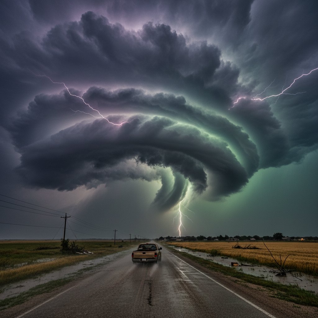
In the span of just 48 hours, the small town of Highmore, South Dakota, population 795, has become ground zero for a meteorological assault that has left residents shaken and emergency services stretched to their breaking point. A relentless series of supercell thunderstorms, spawning tornadoes, baseball-sized hail, and flash flooding, has transformed this quiet farming community into a disaster zone. The National Weather Service has confirmed at least four tornado touchdowns within a 20-mile radius of Highmore since Tuesday evening, with winds estimated at 130 mph. This isn’t just bad weather—it’s a crisis unfolding in real time.
Look, I’ve covered extreme weather for over a decade, from the Buffalo lake-effect snows to the wildfires of California. But what’s happening in central South Dakota right now feels different. It’s the convergence of multiple threats—tornadoes, hail, flooding—all hitting a region that’s simply not equipped for this level of chaos. And the worst part? The forecast shows no sign of relief.
A Perfect Storm of Destruction
The trouble began late Tuesday afternoon when a powerful low-pressure system collided with a warm, moist air mass from the Gulf of Mexico. The result was a line of supercells that marched across Hyde County like a military formation. Highmore took the first hit around 5:30 PM local time. A tornado touched down just west of town, tearing through farmland and destroying two grain silos. “I’ve lived here my whole life—62 years—and I’ve never seen anything like it,” says Harold Jensen, a retired farmer who watched the twister from his front porch. “The sky turned green, then black. The noise was like a freight train, but louder.”
By Wednesday morning, the damage assessment was grim. The Hyde County Emergency Management Office reported that 14 homes sustained significant damage, with three completely destroyed. Power lines were down across the county, leaving over 1,200 residents without electricity. And then came the hail. Golf-ball-sized chunks of ice pummeled the area, shattering windows, denting cars, and destroying crops. The National Weather Service in Aberdeen recorded hail stones measuring 2.75 inches in diameter—the largest in the region since 2019.
But the tornadoes and hail were just the opening act. The same storms dumped up to 6 inches of rain in a matter of hours, turning dry creek beds into raging rivers. The James River, which runs just east of Highmore, rose 8 feet overnight, flooding low-lying roads and forcing the evacuation of a dozen homes. “We’ve had floods before, but nothing this fast,” says Sarah Mitchell, a local schoolteacher who helped her elderly neighbors evacuate. “The water came up so quick—it was like someone turned on a faucet.”
Why This Storm System Is So Dangerous
What makes this event particularly alarming is the combination of hazards. Typically, severe weather outbreaks in the Northern Plains are short-lived—a tornado here, a hailstorm there. But this system is stalling, thanks to a blocking high-pressure ridge over the Great Lakes. That means the same areas are getting pounded repeatedly. “We’re seeing a training effect, where storms move over the same locations again and again,” explains Dr. Emily Torres, a meteorologist at the University of Nebraska-Lincoln. “This dramatically increases the risk of flash flooding and prolonged severe weather.”
The data backs her up. According to the National Oceanic and Atmospheric Administration (NOAA), the Highmore area has received 150% of its average monthly rainfall in just the past three days. And with more storms forecast for the weekend, the ground is already saturated. The National Weather Service has issued a rare “particularly dangerous situation” flash flood warning for Hyde County—a designation usually reserved for catastrophic events like Hurricane Harvey.
For context, this is the same region that experienced a devastating drought just two years ago. Farmers were praying for rain. Now they’re praying for it to stop. “It’s a cruel joke,” says Jensen, shaking his head. “We needed moisture, but not like this. Not all at once.”
The Human Toll: Stories from the Ground
Behind the statistics are real people grappling with loss. At the Highmore Community Center, a makeshift shelter has been set up for displaced families. Volunteers are handing out blankets, bottled water, and sandwiches. Among them is Maria Gonzalez, a mother of three whose home was hit by a tornado. “We were in the basement when we heard the roar,” she says, her voice trembling. “When we came up, the roof was gone. Everything we owned was scattered across the field.”
Gonzalez’s story is not unique. The American Red Cross reports that over 50 people have sought shelter in Highmore alone, with more arriving every hour. The damage extends beyond homes. The local grain elevator, a vital part of the agricultural economy, was struck by lightning and caught fire. Firefighters from three counties battled the blaze for hours, but the structure is a total loss. “This is going to hurt our farmers for years,” says County Commissioner Tom Baker. “That elevator stored millions of bushels of corn and soybeans. It’s all gone.”
And then there’s the psychological toll. The constant threat of more tornadoes, the sound of hail pounding on roofs, the anxiety of watching the sky—it wears on you. “I can’t sleep,” admits Mitchell. “Every time I hear thunder, I jump. My kids are scared to go outside.” The CDC warns that the mental health impacts of severe weather can last long after the storms pass, especially for children and the elderly.
What Comes Next: A Region on Edge
As of Thursday morning, the immediate danger has not passed. The Storm Prediction Center has placed much of central South Dakota under a moderate risk of severe thunderstorms for Friday, with the potential for more tornadoes, large hail, and damaging winds. The floodwaters are receding slowly, but the James River is expected to crest again on Saturday. Emergency managers are urging residents to stay vigilant and have a plan.
For Highmore, the road to recovery will be long. The town’s infrastructure—already strained by years of underinvestment—is buckling under the pressure. Roads are washed out, bridges are damaged, and the power grid is fragile. State officials have declared a state of emergency, freeing up resources for cleanup and repairs. But the real work—rebuilding homes, restoring livelihoods, healing a community—will take months, if not years.
This storm system is a stark reminder that extreme weather is not just a coastal problem. The heartland is vulnerable too. And as climate change continues to fuel more intense and erratic storms, places like Highmore may find themselves in the crosshairs more often. “We need to rethink how we prepare for these events,” says Dr. Torres. “This isn’t a one-off. This is the new normal.”
For now, the people of Highmore are doing what they’ve always done: banding together, helping neighbors, and hoping for better days. But as the clouds gather on the horizon once again, one question hangs in the air: How much more can they take?
Frequently Asked Questions
What caused the severe weather in Highmore, South Dakota?
The severe weather was triggered by a powerful low-pressure system that pulled warm, moist air from the Gulf of Mexico into central South Dakota, colliding with cooler air aloft. This created supercell thunderstorms capable of producing tornadoes, large hail, and heavy rain. A blocking high-pressure ridge over the Great Lakes caused the storms to stall, leading to repeated impacts on the same areas.
How can residents stay safe during ongoing severe weather?
Residents should monitor local weather alerts via NOAA Weather Radio or reliable apps, have a emergency kit ready (water, food, medications, flashlights), and know their safe shelter locations—basements or interior rooms without windows for tornadoes, and higher ground for flooding. Avoid driving through floodwaters, as just 6 inches of moving water can sweep a vehicle away.
Is this weather event linked to climate change?
While no single storm can be directly attributed to climate change, scientists say that a warming atmosphere holds more moisture, which can intensify rainfall and flooding. Warmer temperatures also increase the energy available for thunderstorms, potentially making severe weather events more frequent and severe. The Intergovernmental Panel on Climate Change has projected an increase in extreme precipitation events across the Northern Plains.



