







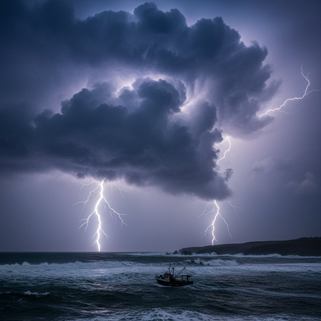
For the thousands of passengers aboard ferries crossing the Bay of Biscay on Thursday June 25, what started as a routine summer voyage turned into a terrifying ordeal. A sudden, violent thunderstorm — one that meteorologists are already calling a once-in-a-decade event for this region — slammed into the body of water between France and Spain, bringing 100mph wind gusts, hail the size of golf balls, and a barrage of lightning that lit up the night sky like a strobe light. The storm didn’t just disrupt travel; it left a trail of damage across coastal communities from Santander to La Rochelle, triggering flash floods that swept cars off roads and knocking out power to tens of thousands of homes.
This wasn’t your typical summer squall. This was a beast.
A Perfect Storm Brewing Over the Atlantic
The Bay of Biscay is no stranger to rough weather — it’s infamous among sailors for its sudden gales and towering waves. But Thursday’s event caught even seasoned forecasters off guard. A low-pressure system that had been drifting eastward across the North Atlantic suddenly deepened explosively — a process meteorologists call “bombogenesis” — as it encountered a plume of exceptionally warm, moist air sweeping up from the subtropics. The collision was catastrophic.
Satellite imagery from the European Space Agency showed the storm’s cloud tops reaching minus 60 degrees Celsius, a signature of extreme updrafts. Within hours, the system had organized into a mesoscale convective complex — essentially, a self-sustaining thunderstorm factory. “The rate of intensification was remarkable,” said Dr. Helena Voss, a senior meteorologist at the German Weather Service (DWD). “We saw surface pressures drop 24 millibars in under 12 hours. That’s a red flag for any forecaster.” The storm’s core tracked directly over the bay’s shipping lanes, catching multiple cargo vessels and passenger ferries in its grip.
One ferry, the Pont-Aven operated by Brittany Ferries, reported sustained winds of 87 knots (100 mph) and waves exceeding 12 meters. Passengers described scenes of chaos: luggage flying across cabins, ceilings leaking, and the ship listing violently. The crew secured all passengers below deck as the vessel rode out the storm for nearly four hours before conditions eased.
Lightning Barrage and Coastal Chaos
But the wind wasn’t the only story. The storm produced an extraordinary lightning display — over 8,000 strikes recorded in a 12-hour window across the Bay of Biscay and adjacent coastlines, according to data from Blitzortung.org and Météo-France. That’s roughly one strike every five seconds at its peak. Compare that to the 12,000 strikes over 48 hours that pummeled Northern Ireland earlier this month — a barrage that also made headlines — and you get a sense of how intense Thursday’s event was. The lightning wasn’t just a spectacle; it caused at least two house fires in the French coastal town of Saint-Jean-de-Luz and knocked out power transformers across the Basque Country.
On land, the consequences were immediate. Flash flooding struck the port city of Bilbao, where 75 millimeters (3 inches) of rain fell in just two hours — nearly a month’s worth. Videos circulating on social media showed cars being swept down the Nervión River’s floodplain, while rescue teams used inflatable boats to reach stranded residents. In the French department of Pyrénées-Atlantiques, emergency services reported over 200 weather-related calls, including a landslide that partially blocked the A63 motorway near Biarritz. Meanwhile, the storm’s wind field extended far beyond the coast: gusts of 120 km/h (75 mph) were recorded as far inland as Bordeaux, toppling trees and cutting power to 45,000 households in southwestern France. The storm also forced the cancellation of 30 flights at Biarritz Pays Basque Airport.
Why This Storm Matters — and What It Means for You
Here’s the thing: storms like this are becoming more common. The Bay of Biscay has seen a 30% increase in the frequency of intense thunderstorm events since the 1980s, according to a 2022 study published in the journal Climate Dynamics. Warmer sea surface temperatures — currently running 1.5°C above the long-term average in this region — provide more energy for storms to tap into. And when you combine that with a warmer atmosphere that holds more moisture, you get the recipe for extreme rainfall and lightning.
For travelers, this is a wake-up call. Summer storms in the Bay of Biscay have historically been manageable, but that’s changing. If you’re planning a ferry crossing or coastal holiday in July or August, you need to be prepared. The Smartest $150 You’ll Spend on Storm Safety might include a portable weather radio, a backup power bank, and a solid travel insurance policy — because when a storm like this hits, you don’t want to be caught without a plan.
And it’s not just a European problem. The same atmospheric dynamics are playing out elsewhere. The UK just shattered its June heat record for the third day in a row, hitting 36.4°C — a milestone that underscores how extreme heat fuels extreme storms. The U.S. is seeing similar patterns, with dangerous humid heat surging across the country and triggering severe thunderstorm outbreaks. The message is clear: our weather is getting wilder, and the Bay of Biscay is just the latest example.
“This storm was exceptional for June,” said Dr. Jean-Pierre Leblanc, a climatologist at the University of Bordeaux. “But if sea temperatures continue to rise, what was exceptional will become routine. We need to rethink how we build our coastal infrastructure and how we warn the public.”
Looking Ahead: The New Normal?
As the cleanup continues, the question on everyone’s mind is: when will the next one hit? Forecast models suggest another low-pressure system could develop over the same area by early next week, though it’s too early to say whether it will intensify as dramatically. For now, residents and travelers along the Bay of Biscay should stay alert. Météo-France has extended its yellow thunderstorm warning for the region through the weekend, and ferry operators are already adjusting schedules. This storm wasn’t a fluke — it was a sign of things to come.
Frequently Asked Questions
Was this storm a hurricane or a derecho?
No. While the storm exhibited hurricane-force winds, it was a severe thunderstorm complex known as a mesoscale convective system (MCS). Unlike hurricanes, it formed over land and sea in a mid-latitude environment, not over warm ocean waters. Derechos are a type of MCS with straight-line winds, but this storm also produced heavy lightning and hail, making it a hybrid event.
Is the Bay of Biscay dangerous for summer travel now?
Not inherently, but travelers should be aware that summer storms are becoming more intense. Check marine weather forecasts before any ferry crossing, and consider travel insurance that covers weather disruptions. The region remains a beautiful destination — just go prepared.
How does climate change affect storms like this?
Climate change increases the energy available for storms by warming the sea surface and atmosphere. Warmer air holds more moisture, leading to heavier rainfall. While individual storms can’t be directly attributed to climate change, the overall trend shows more frequent and intense thunderstorm events in regions like the Bay of Biscay.



