For millions living along the Gulf Coast, the news often arrives as a ripple of unease before crashing ashore as a wave of disruption. This week, that ripple is Tropical Storm Bethany, currently swirling in the Gulf of Mexico, prompting widespread tropical storm watches from the Florida Panhandle westward to coastal Alabama and Mississippi. It means school closures, canceled flights, boarded-up businesses, and the tense recalculation of daily life. For many, it’s not just a weather phenomenon; it’s an immediate threat to their homes, their livelihoods, and their sense of security.
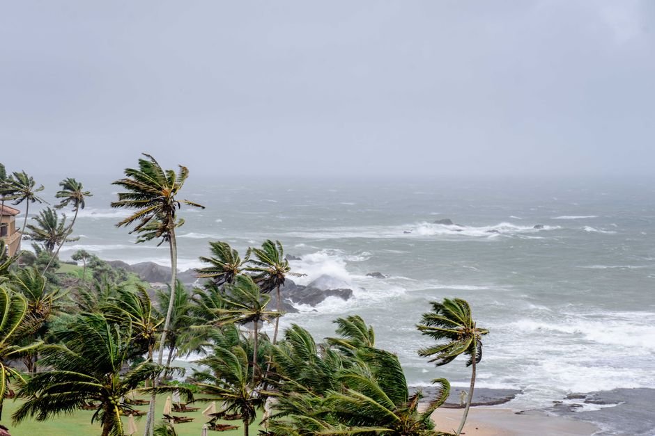
The National Hurricane Center (NHC) issued the initial watch early Tuesday, indicating that tropical storm conditions – sustained winds of 39 to 73 mph – are possible within the specified areas within 48 hours. This isn’t just about wind, though. It’s about the entire complex of hazards that accompany these systems: torrential rainfall, dangerous storm surge, and the very real potential for flash flooding far inland. Residents in Pensacola, Mobile, and Gulfport are now facing a race against the clock, deciding whether to evacuate, batten down, or simply wait and hope.
What a Watch Really Means
A tropical storm watch is often misunderstood, sometimes conflated with a warning. But there’s a critical distinction, and understanding it can be the difference between preparedness and panic. A watch signals that tropical storm conditions are possible within the designated area. A warning, on the other hand, means those conditions are expected. Think of the watch as your 48-hour heads-up, your window to finalize preparations, secure loose items, review evacuation plans, and stock up on essentials like water, non-perishable food, and medications.
“A watch is the time to get serious,” explains Dr. Eleanor Vance, a hurricane specialist with the National Oceanic and Atmospheric Administration (NOAA). “It’s not a drill. It means the threat is real and imminent enough that you need to be actively preparing. We’re giving people a chance to get ahead of the storm before conditions deteriorate and it becomes unsafe to do so.”
And that deterioration can happen quickly. The Gulf of Mexico, with its warm waters, is notorious for rapid intensification. What starts as a disorganized system can quickly spin up into something far more menacing. That’s why the watch system exists – to give us that precious buffer.
Bethany’s Path and Potential Peril
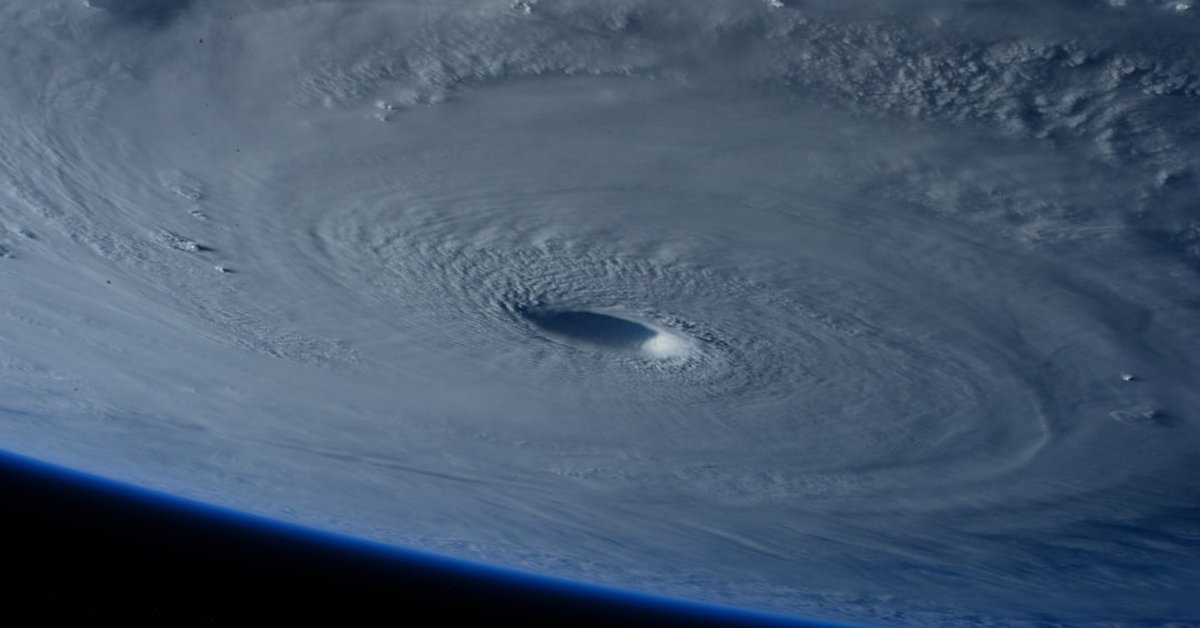
As of Wednesday morning, Tropical Storm Bethany was located approximately 300 miles south-southeast of Mobile, Alabama, moving north-northwest at 10 mph. Its maximum sustained winds were clocked at 60 mph, with higher gusts. Forecasters anticipate a gradual strengthening before landfall, though it’s not currently projected to reach hurricane strength. Still, a strong tropical storm can pack a significant punch.
The latest NHC forecast cone shows Bethany making landfall sometime late Thursday or early Friday, likely somewhere between Dauphin Island, Alabama, and Destin, Florida. This trajectory puts major population centers and vulnerable coastal communities directly in its path. Storm surge is a particular concern, with projections of 2-4 feet above ground level in low-lying areas, especially in bays and inlets. Such levels can inundate coastal roads, homes, and businesses, making evacuation impossible once the surge arrives.
“We’ve seen this movie before, and it rarely ends well for those who underestimate the water,” says Mark Jensen, Director of Emergency Management for Baldwin County, Alabama. “Our biggest message right now is to pay attention to local advisories. If you’re in an evacuation zone and told to leave, do so. Your property can be rebuilt; your life cannot.” Jensen’s team has been working around the clock, coordinating shelter openings and pre-positioning resources.
Beyond the Wind: Flood Threat and Climate Context
While wind speeds grab headlines, it’s often the water – both from storm surge and torrential rain – that causes the most damage and fatalities during tropical systems. Bethany is expected to be a slow-mover, and that’s a red flag for rainfall. Current models suggest widespread rainfall totals of 5-10 inches across the watch area, with isolated pockets seeing up to 15 inches. This kind of precipitation, falling on already saturated ground from recent summer thunderstorms, means a very high risk of flash flooding. Rivers and streams could swell rapidly, overwhelming drainage systems and turning streets into dangerous torrents.
We’ve witnessed this pattern increasingly in recent years. Storms seem to be dumping more rain, moving slower, and intensifying more rapidly. Is this just bad luck, or part of a larger trend? Many climate scientists point to a warming planet as a major factor. Warmer oceans provide more fuel for storms, leading to quicker intensification. A warmer atmosphere holds more moisture, translating directly into heavier rainfall.
“The connection between tropical storm activity and climate change isn’t just theoretical anymore; we’re seeing it play out in real-time,” states Dr. Kenji Tanaka, a climate scientist at the University of Miami. “While we can’t attribute any single storm solely to climate change, the trend towards more intense rainfall, rapid intensification events, and higher storm surges due to sea-level rise is undeniable. These storms are becoming more efficient at extracting energy and moisture from their environment, posing greater threats to coastal communities.”
And it’s not just the coastal areas. Flash flooding can occur hundreds of miles inland, affecting communities that rarely consider themselves vulnerable to tropical systems. The sheer volume of water can overwhelm infrastructure not built for such deluges. It’s a sobering thought, isn’t it?
Preparing for the Inevitable
So, what should you do if you’re under a tropical storm watch? First, stay informed. Monitor local news, NOAA Weather Radio, and official social media channels from emergency management agencies. Have a battery-powered radio, because power outages are almost a certainty.
Next, secure your property. Bring in anything that can blow away – patio furniture, garbage cans, decorations. Clear gutters and storm drains. If you have a generator, test it now. Stock your emergency kit with at least three days’ worth of water (one gallon per person per day), non-perishable food, flashlights, extra batteries, a first-aid kit, and any necessary medications. Fill your car’s gas tank. And make sure your cell phone is fully charged.
Review your family’s communication plan. Where will you meet if you get separated? How will you contact each other if cell service is down? These details matter.
The next 24 to 48 hours will be critical as Bethany makes its final approach. We will be tracking its every move here at CyclonePost, providing updates as they become available. The time to prepare is now, while the watch is still in effect, before the full force of Bethany arrives. Stay safe, and stay vigilant.