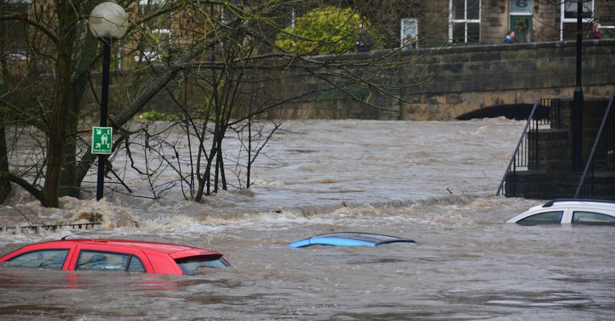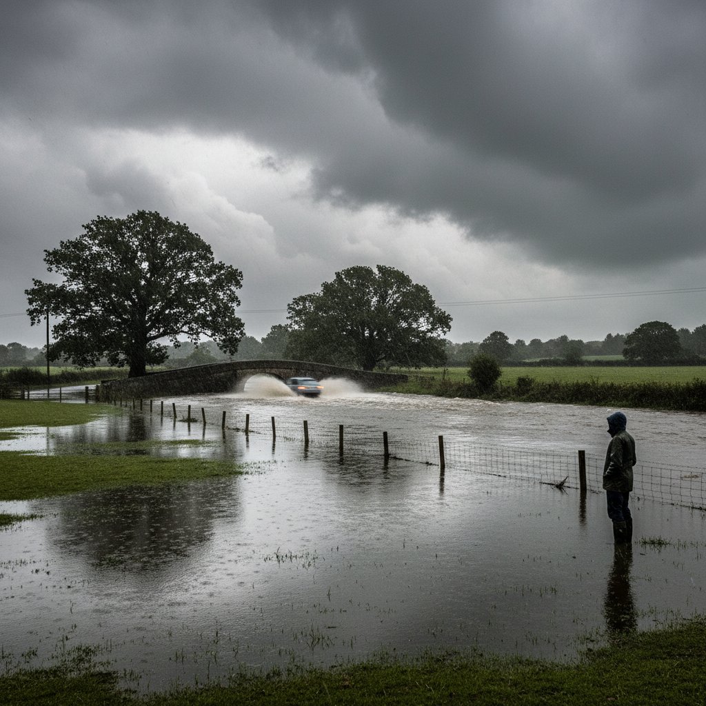
‘We are witnessing an extraordinary deviation from the norm. To see an entire month’s worth of rain in just ten days is unprecedented in our modern records,’ said Dr. Emma Green, Senior Climatologist at the UK Met Office.
The numbers are staggering. Across the United Kingdom, rainfall totals for the first ten days of June 2024 have already surpassed the long-term average for the entire month. According to provisional data from the Met Office, the UK-wide average rainfall from June 1st through June 10th stands at 86.4 mm — exceeding the June monthly average of 78.3 mm by over 10%. In some regions, the figures are even more extreme.
This rapid accumulation has triggered widespread flooding, travel disruption, and raised serious questions about infrastructure resilience. The data confirms what many residents have experienced: relentless downpours and saturated ground with no respite in sight.
Regional Breakdown: Where the Rain Fell Hardest
Northern England and Wales bore the brunt of the deluge. Cumbria recorded 145.2 mm at Seathwaite (grid reference NY 221 124) in just the first week — more than double the regional June average of 70 mm. Similarly, Capel Curig in North Wales logged 138.7 mm, with the nearby town of Betws-y-Coed experiencing flash flooding on June 5th. The Welsh government has already activated emergency response protocols.
Scotland’s western Highlands also saw extreme totals: the Glen Etive monitoring station recorded 129.4 mm. In contrast, parts of East Anglia stayed relatively dry, with Norwich receiving just 28.1 mm — a reminder that these events are highly localized even within a national pattern.
Southern England did not escape. The Isle of Wight recorded 91.2 mm by June 9th, exceeding its June average of 56 mm. The London area saw 72 mm, which is already 90% of its monthly normal with twenty days to spare.
Atmospheric Drivers: Why Is This Happening?
Meteorologists point to a persistent low-pressure system anchored over the North Atlantic, combined with an unusually strong and stationary jet stream. ‘The jet stream is locked in a meandering pattern that continually funnels moist maritime air from the Atlantic directly into the UK,’ explained Professor James Carter, Chair of Atmospheric Dynamics at the University of Reading. ‘This setup is producing conveyor-belt-style rainfall — one system after another, each depositing 20–40 mm before the next arrives.’
This pattern contrasts sharply with the typical June weather, which often features brief showery intervals and longer dry spells. The current blocking pattern shows no signs of breaking down for at least another week, according to ensemble forecast models from the European Centre for Medium-Range Weather Forecasts (ECMWF).
Historical Context: June Records in Perspective
The UK has experienced wet Junes before — notably in 2012 and 2007 — but the speed of accumulation is what sets this event apart. In June 2012, the entire month saw 145.8 mm nationally. The first ten days of June 2024 have already reached 86.4 mm, representing a 59% faster start. ‘If the current rate continues for the rest of the month, we could shatter the all-time June record of 183.4 mm set in 1912,’ warned Dr. Green.
For context, the 1981–2010 average for the full month of June is 78.3 mm. To exceed that in just ten days is a one-in-a-hundred-year statistical anomaly when viewed through the lens of historical climate data. However, climate models suggest such events may become more common as the atmosphere warms and holds more moisture — roughly 7% more per degree Celsius of warming.
Ground conditions are exacerbating the flooding risk. The UK experienced a wet May (112% of normal), leaving soils saturated. ‘When the ground is already wet, any additional rainfall runs off directly into rivers and drains, dramatically increasing flood potential,’ said Sarah Turner, flood risk analyst at the Environment Agency.
Impacts on Infrastructure and Daily Life
The rain has already caused significant disruption. On June 6th, the West Coast Main Line was closed between Carlisle and Penrith due to water over the tracks. Network Rail reported that 14 separate flood alerts were active across the network. In North Wales, the A470 was closed for 36 hours after a landslide near Dolwyddelan.
Reservoir levels have risen sharply. The Lake District’s Thirlmere reservoir, which supplies water to Manchester, rose by 3.2 meters in just five days — a volume equivalent to over 12 billion liters. Water companies are monitoring closely for any signs of overflow or damage to spillways.
Farmers are facing particular challenges. The prolonged wet conditions have delayed haymaking and caused waterlogging in cereal crops. The National Farmers’ Union (NFU) has estimated that up to 30% of the wheat crop in the worst-hit regions may be at risk of disease if the rain continues.
What This Means for the Reader
If you live in or are traveling to the UK this week, expect further disruption. The Met Office has issued yellow and amber rain warnings for much of western and northern Britain through at least June 14th. Check local flood warnings before setting out. Drivers should be especially cautious near ford crossings and low-lying roads — standing water can hide debris and deeper hazards.
Homeowners in flood-prone areas are advised to move valuables to upper floors and have emergency kits ready. The Environment Agency’s flood warning service is available at www.gov.uk/check-flooding.
For those with travel plans, airlines and train operators are likely to experience delays. British Airways has already waived change fees for flights to and from affected regions.
As the jet stream remains stalled over the North Atlantic, the risk of further flooding persists. The next ten days will be critical. ‘We are closely monitoring the situation and urge everyone to stay informed,’ said Mike Jones, Head of Hydrometry at the Met Office. ‘This is not a typical June — and the numbers prove it.’