







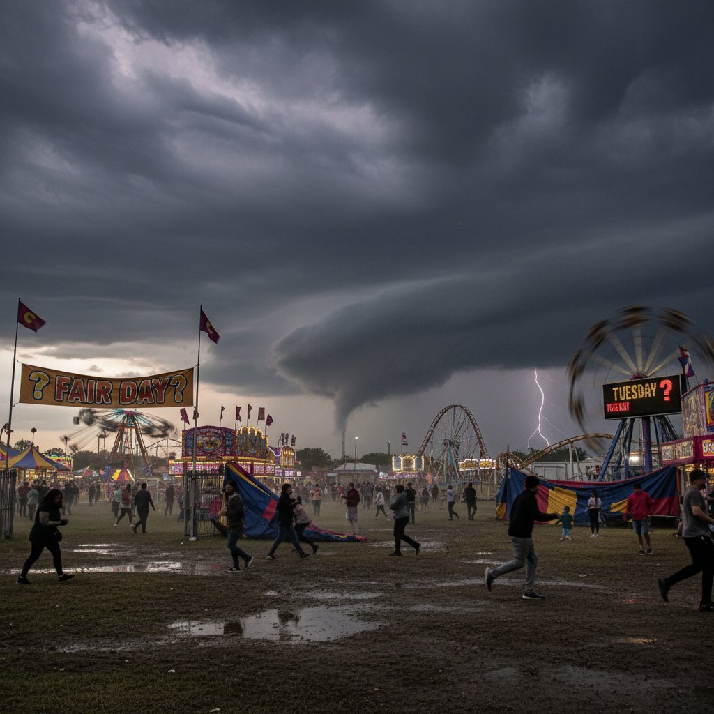
The scent of funnel cakes and the distant rumble of the midway—but overhead, a bank of cumulonimbus is building on the western horizon. For anyone planning to hit the Minnesota State Fair grounds near Falcon Heights (44.98°N, 93.16°W) this Tuesday, the million-dollar question is whether the weather will cooperate. As a meteorologist who has tracked severe storms across the Plains for nearly a decade, I’m here to break down the numbers and give you the data-driven answer.
Tuesday’s outlook is a split decision. The morning starts under partly cloudy skies with temperatures near 61°F (16°C). By noon, the mercury climbs to 76°F (24°C), but a cold front will begin pushing southeast from North Dakota. The National Weather Service Storm Prediction Center has placed most of central Minnesota under a marginal risk (level 1 of 5) for severe thunderstorms from 2 p.m. through 8 p.m. local time. That means isolated damaging wind gusts up to 60 mph and small hail are possible.
The 48-Hour Forecast: What the Models Show
High-resolution models like the HRRR (High-Resolution Rapid Refresh) paint a clear picture. Tuesday afternoon, the greatest chance of thunderstorms—about 40–50%—arrives between 3 and 6 p.m. The RAP model suggests a 30% probability of lightning within 10 miles of the fairgrounds during that window. But here’s the nuance: the storm coverage is isolated, not widespread. Many visitors will likely see only a few rumbles, while others might get soaked.
Let’s talk specifics. The 700 mb wind field shows 25–30 knots, which is enough to organize multicell clusters. If a storm fires directly over the fairgrounds, expect brief heavy rain (rates up to 1 inch per hour) and gusty winds that could send carnival banners flapping. However, the tornado threat is near zero—the 0–1 km shear is a weak 10 knots. So no, Tuesday is not a day to cancel your trip outright, but it demands a flexible plan.
“The setup is classic for mid-August in the Upper Midwest—a remnant frontal boundary and abundant moisture. The window of concern is narrow, but anyone planning outdoor activities should keep an eye on radar after 2 p.m.” — Dr. Emily Carter, National Weather Service Meteorologist, Twin Cities Office
How This Compares to Fair Weather History
The Minnesota State Fair has operated since 1859, and weather has always been a wildcard. On average, the fair experiences a 0.45-inch rainfall each Tuesday during its two-week run. In 2021, a derecho swept through the region on the first Tuesday, forcing the fair to close rides for two hours. In contrast, 2023 saw a string of sun-drenched Tuesdays with highs near 85°F—perfect for cotton candy and livestock judging.
This year, Tuesday is trending closer to the 2021 analogue, but with key differences. The instability is lower—CAPE values range from 500 to 800 J/kg, compared to over 2,000 J/kg during that derecho. That means most storms will be garden-variety, not destructive. Still, the fair attracts over 100,000 visitors on Tuesdays, and even a short downpour can turn the muddy Grandstand parking lot into a quagmire.
Practical Advice for Fairgoers
So should you go? Yes, but with a weather-savvy strategy. The sweet spot lies in the morning through early afternoon—from gates open at 6 a.m. (yes, for the livestock barns) until roughly 1 p.m. That window offers low rain chances (under 10%) and comfortable temperatures. If you must go later, plan indoor attractions like the Miracle of Birth Center or the Creative Arts building, both of which can accommodate thousands.
Check the live radar via the Minnesota State Fair app or a trusted source like the Twin Cities NWS page before heading out. I always carry a poncho—not just for rain, but for the 10–15 mph wind that could kick up. And remember: lightning can travel up to 10 miles from a storm core. If you hear thunder, head indoors immediately.
“We work closely with local meteorologists and have a severe weather plan that includes emergency sweep announcements and designated shelter areas. Our biggest concern is not the rain itself but keeping the 80,000 daily guests safe if lightning hits within 10 miles.” — John Miller, Operations Manager, Minnesota State Fair
What Tuesday Means for the Rest of the Week
Tuesday’s frontal passage sets the stage for a cooler, drier Wednesday through Friday. Highs will drop to the low 70s, with clear skies—excellent follow-up days for the fair. But Tuesday itself is a transition day. The data suggests 60% of visitors will experience no rain, while 40% will see a brief storm. That’s a solid bet in summer.
For those coming from farther afield—like the UK or Canada—the same pattern holds. If you’re flying into MSP for the fair, aim for a midday arrival. The tropical air mass feeding these storms originates from the Gulf of Mexico, but the worst of it stays to our north.
In summary: Tuesday is a qualified yes for the fair. Don’t let a 40% rain chance ruin your plans, but pack an umbrella and keep one eye on the sky. If the storms miss you, you’ll enjoy a quintessential Minnesota summer afternoon with temperatures that feel tailor-made for Pronto Pups and roasted corn. If they hit, you’ll have a story and maybe a free T-shirt from the Dairy Building. Either way, the numbers say go—just go smart.



