







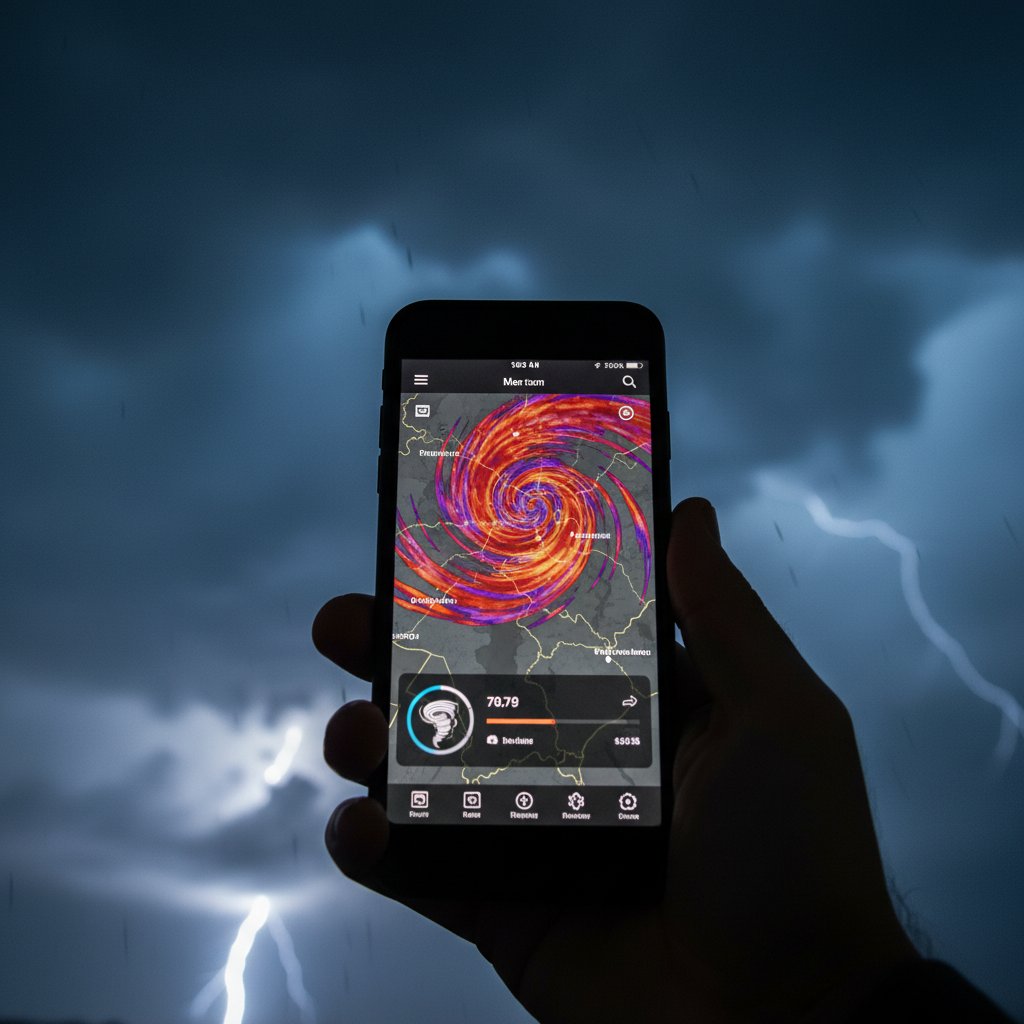
You’ve just opened a storm tracker app that feels familiar yet different. The radar imagery is vivid, the GPS overlay locks onto your location, and the lightning data pulses across the screen. But it’s not RadarOmega. So what app is this?
This question is increasingly common as the market for dedicated weather radar apps has exploded over the past decade. Storm chasers, emergency managers, and weather hobbyists now have more choices than ever—and distinguishing between them requires a keen eye for design, data sources, and feature sets.
Here’s how to identify the mystery app and what its presence says about the changing landscape of mobile storm tracking.
The Rise of Dedicated Radar Apps
Before 2011, real-time radar data on a phone was a rarity. The launch of RadarScope changed that, offering professional-grade level 2 and level 3 radar data for iOS and Android. It quickly became the gold standard for serious weather watchers.
Then came RadarOmega in 2019, built by storm chasers for storm chasers, with features like custom radar views, high-resolution reflectivity, and velocity data. Its popularity surged, especially after its developer added lightning and satellite overlays.
But competitors have followed. MyRadar (with over 50 million downloads) focuses on simplicity and push alerts. Storm Radar from The Weather Channel offers animated radar with storm tracks. WeatherRadar (by WetterOnline) provides global radar and future radar forecasts. And desktop-grade apps like GRLevel3 and WSV3 have mobile companion versions.
The key difference? Data quality, refresh rates, and interface complexity. RadarOmega, for instance, uses a unique color palette and offers “dual-polarization” products. If your app lacks those specific colors or menu structures, it’s likely an alternative.
“The UI is often the biggest giveaway. RadarOmega has a dark theme with bright neon reflectivity colors—kind of like a video game. Other apps tend to stick with traditional NWS color scales or pastel palettes,” explains Dr. Elena Marquez, a meteorologist who studies user experience in weather technology.
Top Alternatives to RadarOmega
Let’s break down the most likely candidates when you see an unfamiliar storm tracker.
RadarScope
RadarScope is the veteran. Its interface is utilitarian—lots of buttons, overlays for hail, tornado, and mesocyclone signatures. It offers subscription tiers for high-resolution data. If your app has a toolbar along the top edge and a “Level 2” toggle, it’s probably RadarScope. It lacks the smooth animations of some newer apps but is unmatched in raw data access.
MyRadar
MyRadar is minimalist. You see a clean map with transparent radar overlaid. No cluttered menus. It relies on weather.com data for alerts. If your app automatically zooms to your location and shows a simple radar loop, you might be using MyRadar. It also includes a future radar feature that many users mistake for live data.
Storm Radar
Storm Radar is owned by IBM/The Weather Channel. It combines traditional radar with storm cell tracks—little arrows showing direction and speed. It also includes push notifications for severe alerts. Its color scheme is glossy, with a blue-to-green gradient for light rain and red for heavy. If you see arrowed paths on the screen, this is likely your app.
WeatherRadar (WetterOnline)
WeatherRadar is big in Europe but growing in North America. It offers a 7-day radar forecast, which is unusual. Its design uses bright, almost tropical colors. If the app shows a timeline slider that goes several days into the future, you’ve found WeatherRadar.
Desktop or Niche Apps
If your app looks like a scaled-down desktop program, it might be a mobile version of GRLevel3 (now called GRLevel3 Mobile) or WSV3. These apps are designed for power users—lots of data fields, crosshairs, and customizable panels. They are rarely installed by accident.
“I often advise our readers to look for the data source label. RadarOmega and RadarScope explicitly show ‘NEXRAD’ or ‘TDWR’ in the top corner. If you see ‘Weather Services’ or ‘MeteoGroup,’ you’re probably using a European app,” says James Huang, editor of the weather-tech review site RadarWatch.
How to Identify an Unknown Weather App
You can narrow down the mystery app in minutes using these clues:
1. Check the App Store or Play Store. Your phone’s settings menu has an “Apps” section. Look for the app name under “Weather” or by scanning the list. This is the most direct method.
2. Look for branding. Many apps subtly display a small logo in the navigation bar (e.g., a sun, radar dish, or a stylized “W”). Swipe the screen edges—some apps hide settings behind a hamburger menu that shows the app name.
3. Examine the color palette. RadarOmega uses high-contrast neon greens, yellows, and reds. MyRadar uses softer pastels. Storm Radar uses a dark grey background with bright overlays. If your radar looks like it came from a weather TV broadcast (e.g., purple for heavy precipitation), it might be a broadcast meteorology tool like WeatherGraph or PYKL3 Radar.
4. Test overlays. Tap the screen. Does a menu appear with layers like “velocity,” “storm relative velocity,” “precipitation type,” or “satellite”? RadarOmega has a rich overlay menu; MyRadar has almost none. If you see a long list, it’s likely RadarScope or RadarOmega. If you see only a few toggles, it’s a consumer app.
5. Check the refresh rate. Free apps typically update every 5–10 minutes. Paid apps like RadarOmega can update every 2 minutes. If your app seems to update within a couple of minutes, you’re looking at a premium app.
Still stumped? Use a reverse image search on a screenshot. Many enthusiast forums (e.g., r/radar) can identify apps instantly.
What This Means for Storm Chasers and Weather Enthusiasts
Identifying the app isn’t just a curiosity—it can affect your situational awareness. Each app processes and presents radar data differently. Some smooth out data, reducing noise but potentially hiding features. Others present raw data that require interpretation.
The proliferation of radar apps reflects a broader trend: the democratization of severe weather data. Fifteen years ago, only TV meteorologists had access to live Doppler radar. Now anyone with a smartphone can track a supercell.
But with choice comes confusion. New users often mistake app-generated future radar (which is a model forecast) for actual current radar. That can lead to poor decisions in the field. Understanding which app you’re using helps you calibrate trust.
For professional storm chasers, the choice often comes down to RadarOmega or RadarScope. Yet many hobbyists prefer MyRadar or Storm Radar for their simplicity and alert systems. The “right” app depends on your level of expertise and whether you need raw data or curated alerts.
As artificial intelligence and machine learning become embedded in weather apps, the line between apps will blur further. Already, some apps offer AI-generated “potential rotation” markers—something only experienced meteorologists used to identify. Within a few years, your phone’s radar app might provide automated tornado warnings with higher accuracy than current NWS bulletins.
So next time you pull up a storm tracker that you don’t recognize, take a moment to look under the hood. You might be holding the next evolution in personal weather monitoring—or just an app that copied the features of RadarOmega. Either way, knowing its name is the first step to using it effectively.



