







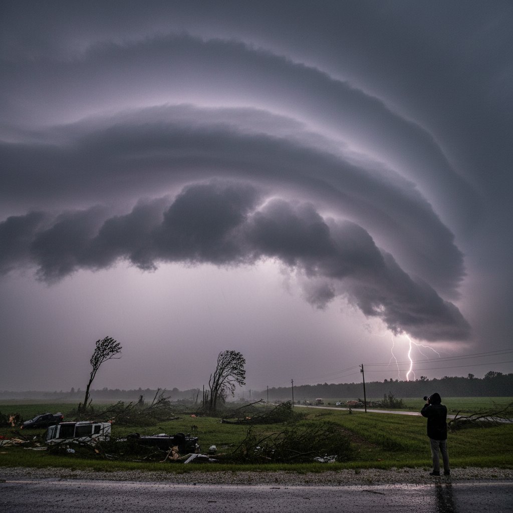
For millions across the Midwest, Wednesday started like any other workday. By late afternoon, the sky turned an ominous green, sirens wailed, and within minutes, a wall of wind tore through towns from Iowa to Illinois. Now, preliminary analysis from the National Weather Service has confirmed what many feared: the storms were a derecho—a fast-moving, long-lived band of severe thunderstorms that produces widespread straight-line wind damage.
This wasn’t just another severe weather event. The estimated wind speeds topped 100 mph in several locations, and the damage footprint stretches across more than 400 miles. Power companies are calling it a generational grid outage. Recovery could take weeks.
The most immediate impact for everyday people: hundreds of thousands are without power, air temperatures are expected to soar into the 90s later this week, and many communities remain isolated by fallen trees and debris. Cell towers are down, roads are blocked, and emergency services are overwhelmed. This is not a storm you can just wait out in your basement—this is a catastrophe that reshapes your reality for days, if not longer.
What Exactly Is a Derecho?
The term “derecho” comes from the Spanish word for “straight ahead.” It describes a widespread, long-lived windstorm associated with a band of rapidly moving showers or thunderstorms. Unlike a tornado—which typically has a narrower path and rotating winds—derechos produce straight-line winds that can be just as deadly.
To qualify as a derecho, the National Weather Service requires a swath of wind damage extending at least 250 miles, with wind gusts of at least 58 mph along most of its length, and within that swath, gusts must reach 75 mph or stronger on multiple occasions. Wednesday’s event easily meets that threshold. Preliminary data from the Storm Prediction Center shows 37 reports of wind damage across three states, with measured gusts of 92 mph in Moline, Illinois, and an 89 mph gust recorded near Cedar Rapids, Iowa.
“This was a classic derecho setup,” explains Dr. Mark Henderson, a senior meteorologist with the National Weather Service’s Chicago office. “A strong low-pressure system, unusually high moisture for late spring, and a very unstable atmosphere all came together. The result was a line of storms that organized and maintained intensity for hours.”
“The wind just kept coming. It wasn’t like a typical thunderstorm where you get a gust and then it subsides. This was sustained, relentless pressure against your home.” — Rachel Torres, resident of Davenport, Iowa
Wednesday’s storm system moved at roughly 50 mph, which meant that communities had less than 30 minutes of warning before the worst hit. Many residents reported that the power flickered, then went out completely, and within minutes they could hear trees snapping and branches scraping against windows.
The Human Toll: More Than Just Downed Wires
While no official death toll has been released, emergency management officials in at least three counties have confirmed fatalities—including a person killed when a tree fell on a vehicle near Peoria, Illinois, and another in a destroyed mobile home in eastern Iowa. At least a dozen additional injuries have been reported, mostly from flying debris and vehicle accidents.
But the real numbers that will define this event are the ones that show how deeply everyday life has been disrupted. As of Thursday morning, Quad Cities Power & Light reported that more than 180,000 customers remained without electricity. ComEd in northern Illinois listed another 95,000 outages. Utility crews are being brought in from as far away as Texas and Florida, but restoration estimates vary. Some areas won’t see power back for ten to fourteen days.
For many families, that means spoiled food, no air conditioning during a heat wave, and no way to charge phones or medical devices. Emergency shelters are opening across the region, but in some rural counties, the roads are so clogged with debris that even first responders can’t reach everyone.
“The scale of the tree damage is unlike anything I’ve seen in my 25 years in emergency management,” says Carol Wexler, director of the Johnson County Emergency Management Agency in Iowa. “Entire neighborhoods look like a bomb went off in a forest. We have elderly residents trapped in their homes because they can’t get out through the debris.”
The derecho also caused significant agricultural damage. In Illinois and Iowa—two of the nation’s top corn-producing states—fields of mature corn were flattened across thousands of acres. Wind at 80 to 100 mph can snap stalks and lodge plants into the ground. The full extent of crop losses won’t be known until aerial surveys are complete, but early estimates suggest it could be one of the most costly agricultural derechos in recent years.
Historical Context and Why It Matters Now
Wednesday’s derecho is not an isolated event. Derechos occur most frequently in the United States east of the Rocky Mountains, usually in the spring and summer. The most infamous derecho in recent memory struck the Mid-Atlantic on June 29, 2012, killing 22 people and causing $2.9 billion in damage from Ohio to the East Coast.
But scientists say derecho frequency may be increasing as the climate warms. A 2021 study published in Nature Climate Change found that the atmospheric conditions that fuel derechos—high instability, abundant moisture, and strong wind shear—are becoming more common in a warming world. For every degree Celsius of warming, the potential for extreme convective wind events like derechos increases by roughly 10 to 15 percent.
“We are seeing more events that push the boundaries of what we thought was possible,” says Dr. Emily Tran, a climatologist at the University of Nebraska-Lincoln and lead author of that study. “The fact that we had a preliminary derecho confirmation within 24 hours of the event is a testament to how good our observing networks have become. But it also means we need to prepare for more of these events in the future.”
For readers in the US, UK, and Canada, this derecho serves as a reminder that severe weather can strike anywhere, anytime. While the British Isles and Canada are less prone to derechos, similar windstorms—sometimes called European or Canadian derechos—do occur. A 2022 derecho in Ontario caused widespread damage from Sarnia to Ottawa, knocking out power to 400,000 homes. These storms respect no borders.
What Happens Next: Recovery and Resilience
The immediate priority is restoring power and clearing roads. The National Guard has been activated in Iowa and Illinois to assist with debris removal and welfare checks. Utility crews are working 16-hour shifts, but the damage is so extensive that some transmission poles snapped like twigs—a reminder that our power infrastructure is built for typical storms, not 100 mph wind events.
But the longer-term questions are harder to answer. Should building codes in the Midwest be updated to require more wind-resistant roofs? Should utilities bury more power lines? And how do we communicate risk to a public that often equates “severe thunderstorm watch” with just another summer afternoon?
“The challenge is that derechos are rare enough that people don’t know what to expect,” says meteorologist Mark Henderson. “But when they do happen, the damage is comparable to a Category 2 hurricane. We need to treat them with that level of seriousness.”
In the coming days, more details will emerge: damage surveys from the National Weather Service, final fatality numbers, economic loss estimates. The derecho will be dissected by scientists, discussed by policymakers, and remembered by those who lived through it.
For now, the lights are off in a million homes, the air is thick with the smell of pine and diesel, and the people of the Midwest are doing what they do best: checking on neighbors, firing up generators, and waiting for the wind to stop rattling what’s left of their trees. The storm has passed, but its wake will shape the community for years to come.



