







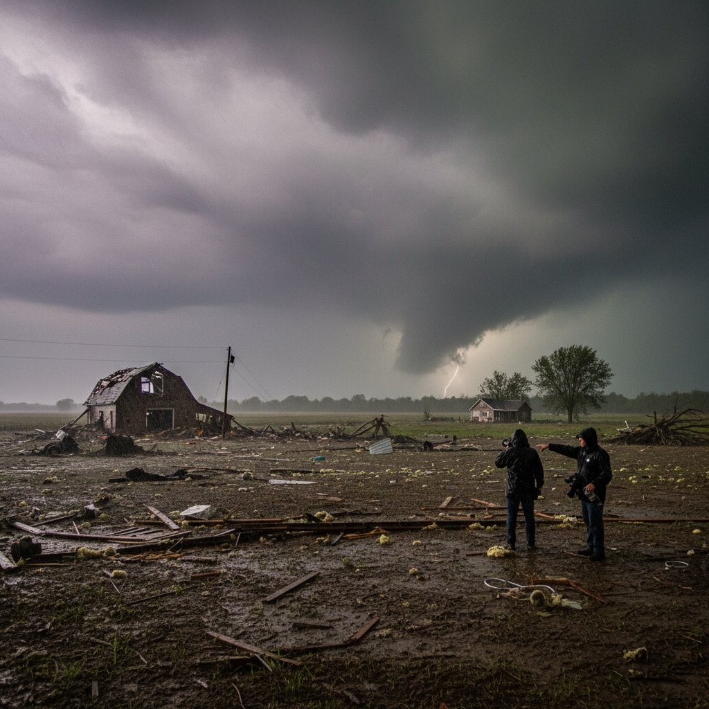
What does it mean when a seemingly quiet spring day erupts into a tornado outbreak across central Indiana? For residents of Johnson and Shelby counties, yesterday’s storms answered that question with terrifying force. At least three confirmed tornadoes touched down between 3 p.m. and 7 p.m. local time, leaving a trail of damaged homes, uprooted trees, and power outages affecting more than 40,000 customers.
The National Weather Service issued a rare Particularly Dangerous Situation (PDS) tornado watch for 18 Indiana counties before the first funnel cloud appeared near Franklin. By nightfall, emergency management officials reported at least 22 people with minor injuries and one critical case in Greenwood. No fatalities have been confirmed as of this morning.
But the immediate destruction is only part of the story. This event fits into a broader pattern of spring tornado activity that has been shifting both in timing and intensity over the past decade.
The Anatomy of Yesterday’s Outbreak
The storms developed along a dryline that pushed eastward from Illinois, colliding with warm, moist air from the Gulf of Mexico. “The setup was textbook for Indiana in late April,” said Dr. Emily Hartfield, a meteorologist at Purdue University’s Severe Weather Lab. “We had strong wind shear, a cap that broke in the early afternoon, and unstable air mass with CAPE values exceeding 3,000 J/kg. That combination often produces rotating updrafts.”
Radar imagery showed the first supercell near the town of Trafalgar at 3:47 p.m. A tornado emergency was issued for rural parts of Johnson County minutes later. The second and strongest tornado—rated at least EF2 based on preliminary damage assessments—touched down near the Greenwood Park Mall, flipping cars in a parking lot and tearing the roof off a strip mall. The third tornado was reported near Shelbyville, with video showing a large wedge crossing Interstate 74. Traffic was halted for over an hour.
“We’re looking at a swath of damage roughly 12 miles long and 400 yards wide in Shelby County,” said Indiana State Police Captain Ron Meyer during a press conference. “Search and rescue teams have completed primary sweeps. We’re now shifting to damage assessment.”
Power crews from Duke Energy and Indiana Michigan Power deployed overnight, but some rural areas may remain without electricity for two to three days.
A Warming Climate and Shifting Tornado Alley
While it is impossible to attribute any single tornado to climate change, the broader trends are unmistakable. “The number of days with tornado-favorable conditions in the Ohio Valley has increased by roughly 15% since the 1980s,” said Dr. Raj Patel, a climate risk analyst at the University of Illinois. “Indiana now sits near the eastern edge of what some researchers call ‘Tornado Alley’s new frontier.’”
Historical data from NOAA shows that Indiana averages about 20 tornadoes per year, but that number has crept upward over the past two decades. The deadliest Indiana tornado outbreak on record remains the Palm Sunday outbreak of 1965, which killed 137 people. However, the frequency of strong tornadoes (EF2 or higher) has increased in the region since 2000.
“What we’re seeing is a shift in the seasonal timing—more tornadoes in late April and early May instead of mid-spring,” Patel added. “And the storms are often more severe because the atmosphere is warming earlier in the year.”
Yesterday’s outbreak also occurred at night—a particularly dangerous time for tornadoes because they are harder to see and people are less likely to receive warnings. “Nighttime tornadoes in Indiana are historically deadly,” said Hartfield. “The 1974 Super Outbreak had several nocturnal twisters. Fortunately, today’s warning systems are much better, but complacency remains a risk.”
Lessons from the Past, Warnings for the Future
For many Hoosiers, yesterday’s storms echoed the June 1990 outbreak that struck near Bloomington, or the April 2011 event that devastated parts of Kokomo. In each case, the storms arrived with little warning, catching residents off guard. But yesterday’s event was different in one key aspect: the National Weather Service issued a PDS watch four hours before the first tornado, giving people time to prepare.
“We have to keep finding ways to reach people who don’t own smartphones or who rely on outdoor sirens that can be inaudible indoors,” said Hartfield. “The PDS watch is a powerful tool, but it only works if people understand what it means.”
Community response was swift. Schools in Shelby and Johnson counties announced closures for today to allow damage assessments and debris removal. The Red Cross opened two shelters in Franklin and Greenwood. Local utility crews from as far away as Kentucky are being mobilized to help restore power.
But the broader question remains: how can Indiana—and the rest of the Midwest—adapt to a tornado climate that is becoming more volatile? Building codes in tornado-prone areas are slowly improving, but most homes in Indiana lack safe rooms or reinforced shelters. “Every family in this region should have a plan and a designated safe place,” said Patel. “It’s not a matter of if another outbreak will happen, but when.”
What Comes Next
Survey teams from the NWS will be on the ground today to assign preliminary EF ratings and map the damage paths. Results are expected within 48 hours. Meanwhile, forecasters are watching another system that could bring severe thunderstorms to the same area by Thursday. “We’re not out of the woods yet,” said Hartfield. “The pattern remains active for at least another week.”
For the residents of central Indiana, yesterday’s tornadoes were a stark reminder that spring in the Midwest is no longer just about blooming flowers and baseball games. It is a season of preparation, vigilance, and resilience—qualities that will be tested again, likely sooner than later.



