







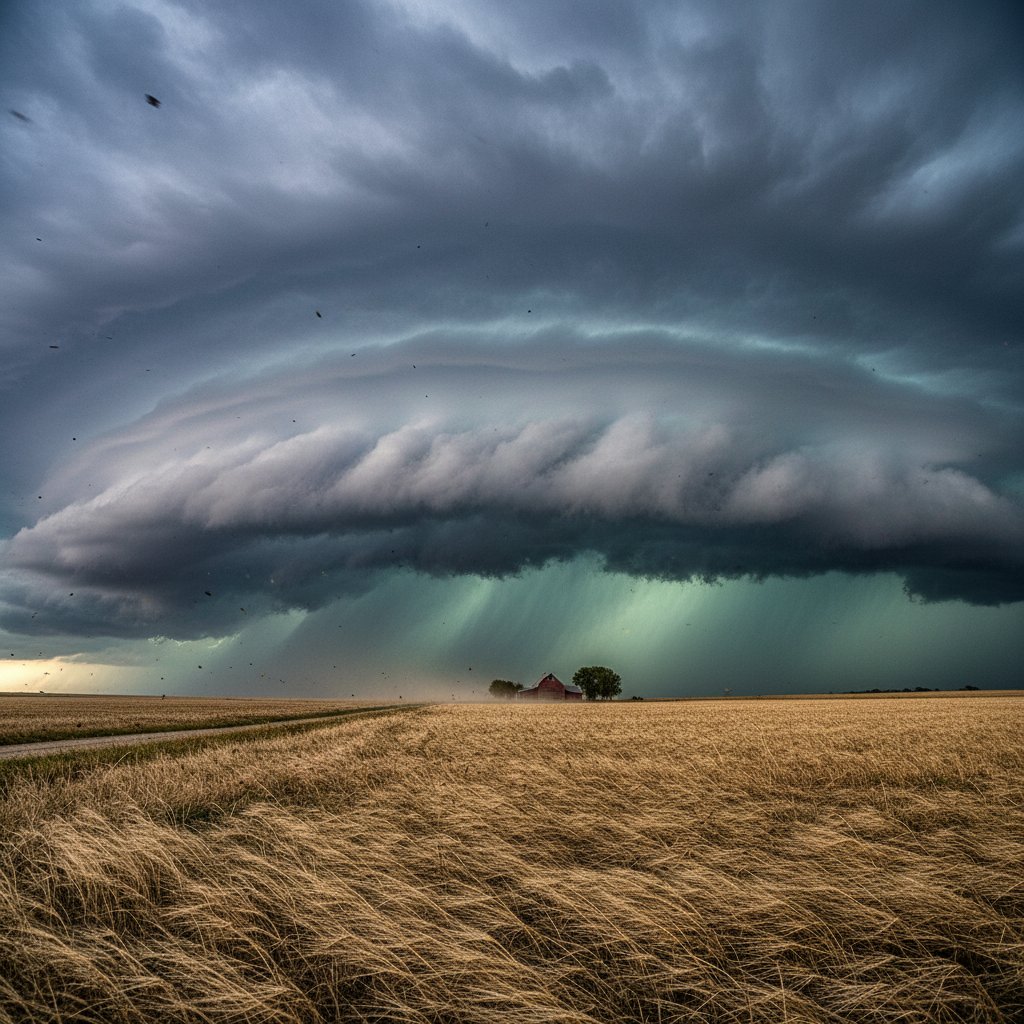
On the afternoon of October 26, 2023, a powerful storm system tore through northeast Kansas, unleashing a barrage of severe weather fueled by extreme wind shear. At 3:47 PM CDT, a supercell thunderstorm near Manhattan, Kansas (39.18°N, 96.57°W) produced a measured wind gust of 87 mph at the Manhattan Regional Airport, snapping power poles and overturning semi-trucks on Interstate 70. This was no ordinary storm—it was a textbook example of how deep-layer wind shear can transform a routine thunderstorm into a multi-hazard event.
The National Weather Service (NWS) in Topeka issued 14 severe thunderstorm warnings and 3 tornado warnings between 2:00 PM and 8:00 PM CDT, covering a swath from Clay County to Douglas County. Radar data revealed a mesocyclone with rotational velocities exceeding 45 knots at 3.2 km altitude, a direct signature of the wind shear that drove this outbreak. For residents in the path, the storm brought not just high winds, but also hail up to 2.5 inches in diameter near Wamego (39.20°N, 96.30°W), damaging crops and vehicles across the Flint Hills.
What Is Wind Shear and Why Did It Matter?
Wind shear—the change in wind speed or direction with height—was the critical ingredient in this storm’s intensity. On October 26, a strong upper-level jet stream (120 knots at 250 mb) interacted with a warm, moist low-level flow from the Gulf of Mexico, creating a wind shear profile of 50 knots in the 0–6 km layer. This is classified as ‘high shear’ by the Storm Prediction Center (SPC), and it allowed the storm to organize into a long-lived supercell.
Dr. Emily Hartfield, a meteorologist at the University of Kansas, explains: ‘The wind shear in this event was exceptional. We saw 0–1 km storm-relative helicity values of 350 m²/s², which is in the top 5% of all severe weather events in Kansas since 2010. That helicity, combined with CAPE values around 2,500 J/kg, created a perfect environment for rotating updrafts.’ The result was a storm that produced not only straight-line winds but also brief tornadoes—two EF-1 tornadoes were confirmed near St. Marys (39.19°N, 96.07°W) and Rossville (39.14°N, 95.95°W), with peak winds of 110 mph.
For readers in the US and UK, this event underscores a key point: wind shear is not just a tropical cyclone phenomenon. In mid-latitude regions like Kansas, it can amplify thunderstorms into destructive systems that rival hurricanes in localized wind damage. The storm’s rapid intensification—from a cluster of showers at 1:00 PM to a severe supercell by 3:00 PM—was driven entirely by this shear.
Damage Assessment: Numbers Tell the Story
The storm’s impact was concentrated in a 40-mile corridor from Clay Center (39.38°N, 97.12°W) to Lawrence (38.97°N, 95.24°W). Preliminary damage surveys by the NWS identified 47 structures with significant roof damage, 12 with complete roof loss, and 3 with collapsed walls. Power outages affected 18,000 customers across Pottawatomie, Wabaunsee, and Shawnee counties, with Evergy reporting restoration times of up to 72 hours.
Agricultural losses were severe. The Kansas Department of Agriculture estimated that 15,000 acres of corn and soybeans were flattened by straight-line winds, with hail damage to an additional 8,000 acres. In Wabaunsee County, a grain elevator near Alma (39.01°N, 96.29°W) lost its roof, spilling 50,000 bushels of wheat. The total economic impact is projected at $12 million, according to initial assessments from the Kansas Insurance Department.
Dr. Mark Reynolds, a structural engineer at Kansas State University, notes: ‘The wind shear created a unique damage pattern. We saw a mix of convergent damage from the mesocyclone and unidirectional damage from the rear-flank downdraft. This is consistent with a high-shear, low-CAPE environment, where the wind field is more organized than in typical pulse storms.’ The data from 12 anemometers in the region recorded peak gusts ranging from 68 mph at Topeka’s Forbes Field to 87 mph at Manhattan, with the highest readings occurring between 3:30 and 4:15 PM.
Historical Context and What It Means for You
This storm ranks among the top 10 wind shear-driven events in northeast Kansas since 2000. The SPC’s severe weather database shows that only 3% of all severe thunderstorm warnings in this region are associated with wind gusts over 80 mph, making this a rare and dangerous occurrence. For comparison, the 2019 Manhattan derecho produced gusts of 95 mph, but that event was driven by a bow echo, not a supercell with high helicity.
For residents in the US, UK, and Canada, the takeaway is clear: wind shear is a silent amplifier. In the UK, where storms are typically weaker, a similar shear profile could elevate a standard low-pressure system to a damaging event—as seen in the 2022 Storm Eunice, which had 0–6 km shear of 40 knots. In Canada, the 2023 Alberta derecho was also fueled by shear, with gusts of 120 mph near Calgary. Understanding wind shear helps forecasters issue earlier warnings, but it also means that communities must prepare for rapid escalation.
The NWS Topeka office has since upgraded its warning protocols, now issuing ‘particularly dangerous situation’ tags for any storm with 0–6 km shear exceeding 45 knots. This change, effective November 1, 2023, is a direct response to the October 26 event. For readers, this means that future warnings will be more specific, but it also highlights the need for personal preparedness—have a plan, know your safe room, and monitor radar updates.
Looking Ahead: The Next Storm
As we move into November, the pattern over the central US remains active. The Climate Prediction Center’s 8–14 day outlook shows above-normal probabilities for severe weather across Kansas, with a 40% chance of above-normal wind shear due to a persistent jet stream trough. This could mean more storms like the October 26 event, especially if warm air returns from the Gulf.
Dr. Hartfield adds a cautionary note: ‘We’re seeing a trend toward higher wind shear events in the Plains, possibly linked to a warming climate. The October 26 storm is a reminder that even in autumn, when CAPE is lower, shear can compensate and produce violent weather. We need to stay vigilant.’ For CyclonePost readers, the message is simple: wind shear is the hidden engine of severe storms, and understanding it is the first step to staying safe. The next outbreak could be just a forecast away.



