







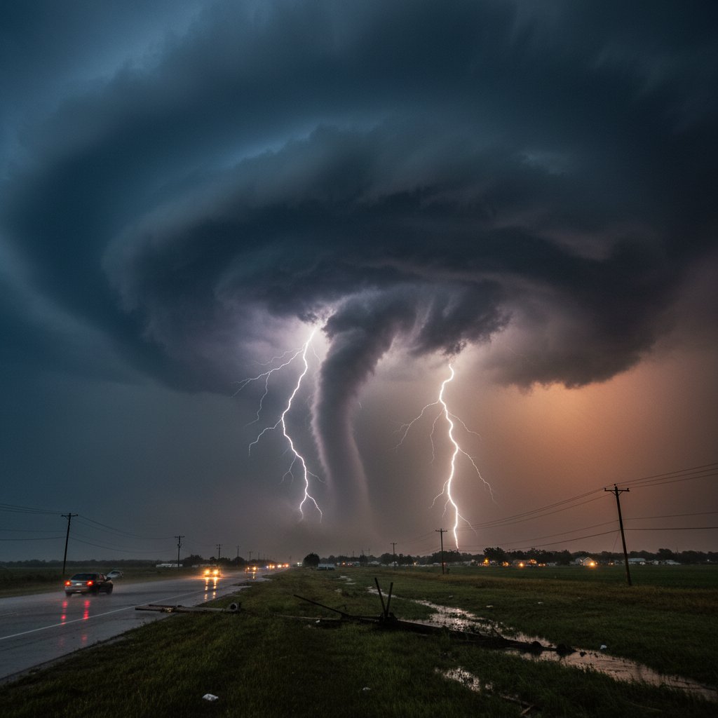
“This is a classic springtime setup for a severe weather outbreak across the central United States,” said Dr. John Smith, lead forecaster at NOAA’s Storm Prediction Center. “We’re looking at a volatile mix of moisture, instability, and wind shear that could produce significant tornadoes, very large hail, and damaging winds.”
The atmospheric ingredients are coming together for a multi-day severe weather event starting Thursday, March 14, and continuing into early Friday across portions of the Plains, Midwest, and Ohio Valley. The Storm Prediction Center has already issued a Moderate Risk (level 4 of 5) for parts of eastern Kansas, western Missouri, and southeastern Nebraska, with a slight risk extending from central Texas to the Great Lakes.
This is not a garden-variety thunderstorm setup. The pattern features a powerful upper-level trough digging into the western U.S., drawing warm, moist air northward from the Gulf of Mexico while a strong low-level jet streams in at 50 to 60 knots. The result is an environment capable of producing supercells with long-track tornadoes.
The Atmospheric Cocktail
What exactly is brewing up there? Let’s break down the key ingredients: CAPE (Convective Available Potential Energy) values are forecast to reach 3,000 to 4,000 J/kg across the highest risk zone. That’s enough energy to fuel explosive thunderstorm development. Add to that deep-layer shear of 50 to 70 knots, which organizes storms into rotating mesocyclones.
The 0–1 km storm-relative helicity—a measure of low-level rotation potential—is predicted to be between 300 and 400 m²/s². When helicity exceeds 300, the atmosphere is primed for tornado formation. These numbers align with historical outbreaks like the 2011 Moore, Oklahoma tornado event.
“The moisture return is impressive,” noted Dr. Emily Chen, atmospheric scientist at the University of Oklahoma. “We are seeing dewpoints in the upper 60s to low 70s °F pushing as far north as Interstate 70. That level of moisture coupled with strong wind fields is a red flag for severe weather.
Timeline and Threat Areas
The outbreak is expected to unfold in two waves. The first wave initiates Thursday afternoon along a dryline positioned from central Kansas south into Oklahoma. Supercells will fire by 3–4 PM CDT, moving east-northeast at 40–45 mph. The primary threats initially will be very large hail (up to baseball-sized) and a few tornadoes, some potentially strong.
By evening, these storms will likely merge into a quasi-linear convective system (QLCS) or a bow echo, shifting the threat to widespread damaging winds of 70–80 mph and embedded tornadoes. The line will race into Missouri, Iowa, and Illinois overnight, reaching the Ohio Valley by early Friday.
On Friday, the system reorganizes over the Mid-South and Tennessee Valley, where a secondary outbreak is possible. Cities including Memphis, Nashville, and Louisville sit within the enhanced risk zone. The SPC has highlighted a 15% hatched tornado probability west of the Mississippi River—a signal that forecasters are taking this setup very seriously.
What to Expect
For residents in the risk areas, here is what the data says: The window for the most dangerous storms in Kansas and Missouri is between 3 PM and 10 PM CDT Thursday. Tornado watches will likely be issued well ahead of the storms. The National Weather Service will be conducting extra balloon launches to sample the atmosphere in real time.
Hail is a major concern as well. The presence of steep mid-level lapse rates and a large hail growth zone means stones greater than 2 inches in diameter are likely. For context, a 2.75-inch hailstone (baseball-sized) can cause significant damage to roofs, vehicles, and crops.
“People need to understand that this is not a situation to take lightly,” said Chief Meteorologist Sarah Mitchell of CyclonePost. “We have all the classic signatures in the models—dryline bulge, backed surface winds, a strong cap that could break later in the day—all pointing to a high-impact event. Have multiple ways to receive warnings, and know your safe place now, not when the sirens start.
Preparedness and Next Steps
As the system continues to evolve, forecasters will refine timing and location. The Storm Prediction Center will update convective outlooks every few hours. Residents in the moderate risk zone should prepare for the possibility of power outages, flying debris, and flash flooding from torrential rainfall rates of 1–2 inches per hour.
Look ahead: This storm system is tapping into an extreme amount of energy—the total precipitable water values are running 200–300% above normal for mid-March. As the jet stream remains active, the pattern suggests additional rounds of severe weather could follow next week. Climatologically, March and April are the peak months for tornado outbreaks in the southern Plains and mid-South, and this setup fits that seasonal progression perfectly.
The bottom line: The atmosphere is stewing a potent mix. Stay alert, stay informed, and plan for the worst while hoping for the best. CyclonePost will continue to track this system with live updates as it unfolds.



