







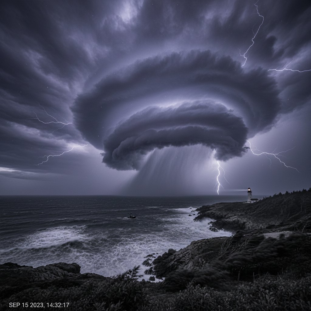
How fast can a garden-variety cumulus cloud transform into a violent, rotation-fueled supercell? A newly released time-lapse, shot by a local storm spotter over the Dallas-Fort Worth metroplex on Tuesday afternoon, provides a chilling answer: less than 45 minutes.
The footage, which the photographer shared with CyclonePost, compresses nearly an hour of real-time sky evolution into 90 seconds. It shows a flat, hazy horizon suddenly erupting into a towering cumulonimbus structure, its anvil spreading like a dark bruise across the northern suburbs. Then, the telltale lowering of the wall cloud, the rapid rotation, and the first funnel descending near the town of Roanoke.
“What makes this time-lapse valuable is the time stamp,” says Dr. Evelyn Torres, a severe storms researcher at the University of Oklahoma. “It pinpoints exactly when the mesocyclone tightened. That kind of granular data helps us validate our rotation-detection algorithms.”
The storm that followed produced a confirmed EF-1 tornado near Trophy Club, downing trees and damaging several homes. No injuries were reported. But the time-lapse raises a critical question for millions living in Tornado Alley: are you watching the sky closely enough?
The Time-Lapse: A Minute-by-Minute Breakdown
The sequence begins at 3:15 PM CDT, with a few shallow cumulus clouds drifting over latitude 33.0°N, longitude 97.2°W. By minute 12, the updraft punches through the cap. The cloud base darkens, and a rain-free base emerges. At minute 27, the wall cloud lowers and begins to rotate, visible as a slow, steady spin. At minute 39, a funnel cloud drops halfway to the ground. The time-lapse stops at 4:02 PM, as the National Weather Service issues a tornado warning for Denton County.
The photographer, who asked to remain anonymous due to safety concerns from online harassment, told CyclonePost he was “just trying out a new intervalometer setting” when the storm blew up. “I saw the inflow band tightening and I knew something was happening. I didn’t expect to catch an entire lifecycle.”
Meteorologists at the Storm Prediction Center confirmed the storm developed faster than most models predicted. “Our high-resolution rapid refresh model had a 40% probability of severe hail at that location,” notes SPC forecaster James Holloway. “But the time-lapse shows the actual storm organization outpaced the model by about 20 minutes. That’s a significant discrepancy we need to investigate.”
Why This Matters for Your Safety
Supercell thunderstorms can form rapidly—often in under an hour—but the public tends to focus on the final warning product rather than the early signs. The National Weather Service urges residents to watch for three key visual cues: a persistent rotating wall cloud, a sudden change in wind direction, and dark, green-tinted skies. This time-lapse captures all three in a single shot.
For readers in North Texas, the lesson is clear: if you see a time-lapse of a storm approaching, you may have less than 30 minutes to act. Dr. Torres emphasizes that “the wall cloud rotation in this footage is textbook. Anyone who sees that lowering should immediately seek shelter—don’t wait for the siren.”
The storm system that produced this supercell was part of a larger squall line that swept across the region on Tuesday. Rainfall rates peaked at 2.3 inches per hour near Lewisville, and winds gusted to 68 mph at DFW Airport. Flash flooding was reported in low-lying areas of Irving and Grand Prairie.
Behind the Lens: What the Time-Lapse Reveals About Storm Evolution
Time-lapse photography has become a critical tool for storm researchers. It allows them to watch a storm’s entire life cycle in seconds, identifying subtle transitions that might be missed in real-time or radar data. This specific footage captures the crucial moment when the updraft rotates, a process called “tilted rotation,” where the storm’s inflow and outflow interact to create a mesocyclone.
“We can see the inflow notch clearly at the 22-minute mark,” says Dr. Torres. “That’s where warm, moist air surges into the updraft. In this case, the notch persisted for over 10 minutes before the funnel dropped. That’s a warning sign that is often invisible to radar at this range—but visible on camera.”
The time-lapse also shows the storm’s forward speed. By comparing the position of the cloud base against fixed landmarks (visible in the frame), the photographer calculated the storm was moving at approximately 28 mph. That’s faster than the average supercell, which means the warning window was compressed.
Meteorologist Holloway adds that “the value of citizen science contributions like this cannot be overstated. We can’t put a weather station everywhere, but we can encourage people to film and submit. This time-lapse is a data point, and data points save lives.”
What Comes Next: Community Preparedness and Future Storms
The storm that spawned the time-lapse has passed, but the pattern remains active. The Storm Prediction Center has issued a Moderate Risk for severe thunderstorms across eastern Oklahoma and western Arkansas for Wednesday, with a focus on the I-44 corridor from Tulsa to Springfield. Similar rapid development is possible.
For the Dallas-Fort Worth area, the takeaway is clear: storm season is far from over, and the best defense is preparation. Have multiple ways to receive warnings—a NOAA weather radio, a smartphone app with wireless emergency alerts, and a plan to reach a safe room or interior closet. The time-lapse shows that storms can go from fair-weather cumulus to dangerous supercell in the time it takes to watch a single TV episode.
CyclonePost will continue to track this active pattern and will publish an analysis of the time-lapse’s meteorological data in collaboration with Dr. Torres’s lab. If you have your own storm footage, please send it to our team—your video might be the one that helps forecasters save lives tomorrow.



