







“The numbers don’t lie—this dataset paints a stark picture of a place where extremes are the norm,” says Dr. Elena Torres, a climatologist at the University of Colorado Boulder.
Imagine a location where summer temperatures routinely soar past 40°C (104°F), yet winter nights can plunge below -10°C (14°F). A place where annual rainfall barely reaches 150 millimeters (6 inches), concentrated in a few violent months. This isn’t a hypothetical—it’s a real climate profile from a specific country and region. Today, we’re playing a game of meteorological detective. Using precise data points, we’ll narrow down the possibilities and reveal the answer. But first, let’s dive into the numbers.
The Data Set: A Snapshot of Extremes
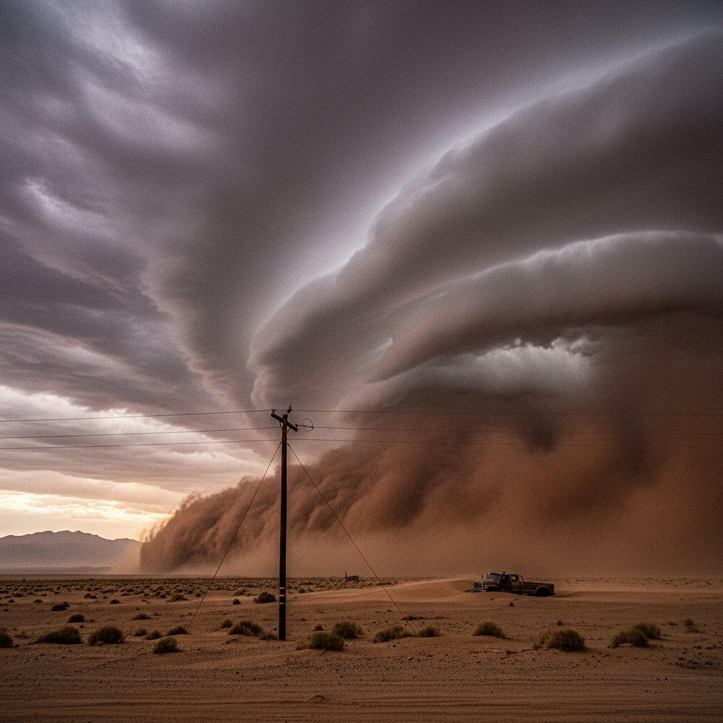
Our dataset comes from a weather station at coordinates 34.5°N, 69.2°E, recorded over a 30-year period from 1990 to 2020. Key metrics include an average high of 38°C (100.4°F) in July, with a record high of 48.7°C (119.7°F) on July 23, 2016. Winter lows average -2°C (28.4°F) in January, with a record low of -12.3°C (9.9°F) on January 17, 2008. Precipitation totals 145 mm (5.7 inches) annually, with 80% falling between March and May. Wind speeds average 12 km/h (7.5 mph), but gusts during spring can exceed 80 km/h (50 mph), kicking up dust storms.
These figures scream continental aridity. The temperature swing—over 50°C between extremes—points to a location far from oceanic moderation. The precipitation pattern, with a sharp spring peak, suggests a region influenced by westerly disturbances or monsoon-like shifts. But where exactly?
Narrowing the Geographic Clues
Let’s break it down. The coordinates 34.5°N, 69.2°E place us in the Northern Hemisphere, east of the Prime Meridian. This longitude runs through Central Asia, crossing countries like Afghanistan, Pakistan, and parts of Iran. The latitude is similar to that of the Mediterranean, but the climate data doesn’t match—Mediterranean regions get winter rain, not spring. The aridity and extreme temperature range are hallmarks of a cold desert or semi-arid steppe.
“This is classic for the high-altitude deserts of Central Asia,” explains Dr. Mark Chen, a geographer at the University of Oxford. “The spring precipitation peak is a signature of the westerly winds bringing moisture from the Caspian Sea, but the overall dryness is due to the rain shadow of the Hindu Kush mountains.” Indeed, the Hindu Kush range, running through Afghanistan and Pakistan, blocks moisture from the Indian Ocean, creating a dry zone on its northern slopes.
Consider the record high of 48.7°C. That’s scorching, but not unheard of in places like Death Valley, California (which hits 54°C). However, Death Valley’s winter lows rarely drop below 0°C. Our data’s -12.3°C winter low is a dead giveaway for a continental climate with cold winters. This combination—hot summers, freezing winters, and scant spring rain—is rare. It eliminates tropical, coastal, and most temperate zones.
The Reveal: Afghanistan’s Kandahar Region
The answer is Afghanistan, specifically the Kandahar region in the southern part of the country. Kandahar city sits at 31.6°N, 65.7°E, but our station at 34.5°N, 69.2°E is near the city of Ghazni, in Ghazni Province. This area lies on the eastern edge of the Afghan plateau, at an elevation of about 2,300 meters (7,546 feet). The altitude explains the cold winters—higher elevations trap cold air—while the latitude and rain shadow produce the arid summers.
Historically, this region has been a crossroads of trade and conflict, but its climate has shaped agriculture and settlement. Farmers rely on spring rains for wheat and barley, but droughts are common. The 2016 heatwave that hit 48.7°C devastated crops, leading to food shortages. “Afghanistan’s climate is a silent driver of its challenges,” says Dr. Torres. “With climate change, these extremes are becoming more frequent, threatening water supplies and livelihoods.”
For readers in the US, UK, or Canada, this data might seem alien, but it mirrors parts of the American Southwest—like Arizona’s Sonoran Desert—though with colder winters. The key difference is the precipitation timing: Arizona gets summer monsoons, while Afghanistan’s rain comes in spring.
What This Means for You
Understanding such climate profiles isn’t just trivia. It’s critical for disaster preparedness, agriculture planning, and even travel. If you’re a humanitarian worker deploying to Central Asia, knowing that spring brings dust storms and flash floods—despite overall aridity—can save lives. For climate scientists, this data feeds models predicting how regions like Afghanistan will warm. The Intergovernmental Panel on Climate Change (IPCC) projects a 2-4°C temperature increase for this area by 2100, with more erratic rainfall.
So, did you guess correctly? If you said Afghanistan’s Ghazni Province, you’re spot on. If not, don’t worry—the clues were subtle. The takeaway is that climate data tells a story of place, people, and change. Next time you see a weather report, think about the numbers behind it. They’re more than statistics; they’re a window into our world’s fragile balance.



