







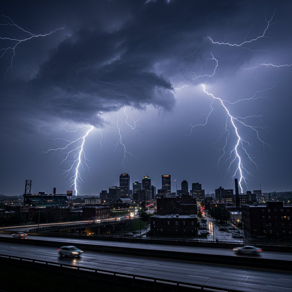
What happens when a city becomes a drum, and the sky a relentless cymbal crash?
On June 10, 2026, residents of Akron, Ohio, found out. For nearly eight hours—from just after midnight until dawn—a stationary line of supercells parked over Summit County, unleashing a continuous barrage of thunder and lightning that scientists are calling a once-in-a-generation electrical event.
No breaks. No pauses. Just a rolling, percussive roar that shook windows, set off car alarms, and left an entire city wide awake in the dark.
“It was like being inside a bass drum for hours,” said Maria Gonzalez, a 34-year-old nurse who lives near downtown Akron. “The thunder never stopped. Not for one minute. My dog was under the bed, and honestly, I wanted to join him.”
A Perfect Storm of Ingredients
Meteorologists at the National Weather Service in Cleveland recorded over 4,500 cloud-to-ground lightning strikes in Summit County between 12:17 a.m. and 8:03 a.m. EDT. The rate peaked at nearly 600 strikes per hour—roughly one every six seconds.
“This wasn’t just a thunderstorm. It was a lightning factory,” said Dr. Emily Tran, a severe weather researcher at the University of Oklahoma. “What made it so extraordinary was the combination of an extremely unstable atmosphere, a stalled frontal boundary, and a phenomenon called ‘training’—where storm cells regenerate over the same spot for hours.”
The setup began earlier that evening. A warm, moist air mass from the Gulf of Mexico collided with a slow-moving cold front dipping south from Canada. Over Akron, the cap—a layer of warm air that usually suppresses storms—broke. And once it did, the atmosphere went wild.
Doppler radar showed a line of storms that barely moved, anchored by a low-level jet stream feeding it moisture like a fire hose. Each cell that formed would pulse, lightning up the night, then fade—only to be replaced by another, identical cell, in the exact same location.
Streets Lit Like Day, Sleep Shattered
For Akron residents, the visual spectacle was matched only by the relentless noise. Social media exploded with videos of flickering skies and time-lapse footage that looked more like a strobe light than a weather event.
“I’ve lived in Ohio my whole life, and I’ve never seen anything like it,” said James Kowalski, a retired firefighter from the Merriman Valley neighborhood. “The lightning was so frequent it lit up the whole street. You could read a book by it. But the thunder—that was the real story. It just kept going, like a freight train that never passed.”
Power outages affected approximately 14,000 customers across Summit County, primarily due to direct lightning strikes on transformers. FirstEnergy crews worked through the night, but restoration was slowed by the continuous threat of new strikes.
At Akron Children’s Hospital, staff reported an influx of families with children too frightened to sleep. “We had parents bringing in kids who were shaking, crying, unable to calm down,” said Dr. Sarah Mitchell, a pediatric emergency physician. “The sound was so persistent it triggered anxiety in children who’d never been afraid of storms before.”
What the Science Says—And Why It Matters
Continuous thunder and lightning events are rare in the United States. Most thunderstorms produce lightning in clusters separated by minutes of relative calm. But when a storm system becomes stationary and the atmosphere remains unstable, the result is what meteorologists call a “continuous electrical episode.”
“This is different from a typical derecho or squall line,” explained Dr. Tran. “Those move through quickly. This was a stationary engine. It kept ingesting warm, moist air and converting it into electrical energy, over and over, like a generator running on idle.”
Data from the National Lightning Detection Network confirmed that the Akron event produced more than three times the average lightning density for a severe thunderstorm in Ohio. Some individual flashes were measured at over 100,000 amps—enough to power a small neighborhood for a fraction of a second.
Climate scientists are now asking whether such events could become more common. Warmer air holds more moisture, and more moisture means more energy for storms. “We’re seeing a trend toward slower-moving, higher-precipitation storms in the Midwest,” said Dr. Tran. “If that continues, stationary lightning events like this could become a new normal for cities like Akron, Cleveland, and Columbus.”
For now, the city is left to recover. Roofs were damaged by hail up to the size of golf balls. Trees were split by lightning. And thousands of residents are still processing a night they won’t soon forget.
“It felt like the sky was angry,” said Gonzalez. “But you know what? It also felt kind of beautiful. In a terrifying way.”
What the Future Holds
The Akron event has already prompted calls for better lightning warning systems in urban areas. Currently, the National Weather Service issues severe thunderstorm warnings but does not have a specific alert for continuous lightning. Experts argue that such a warning could help hospitals, schools, and power companies prepare for the psychological and infrastructural impacts.
Meanwhile, researchers at the University of Oklahoma are planning to deploy mobile lightning mapping arrays to the Ohio Valley next spring, hoping to capture a similar event and study it up close.
“This was a wake-up call,” said Dr. Tran. “Akron gave us a preview of what a warming atmosphere can do. The question is whether we’re ready to listen.”



