







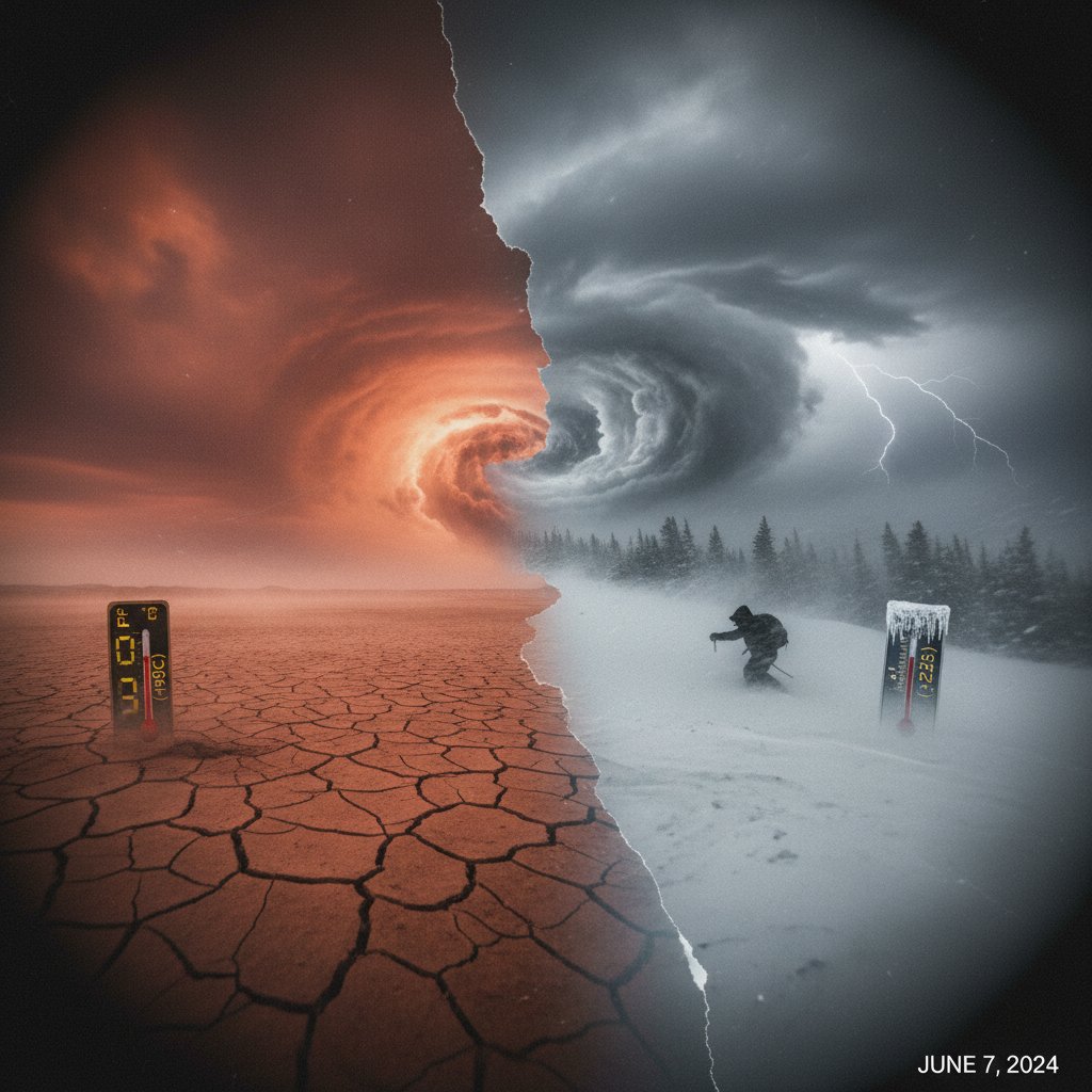
The first full week of June 2025 has delivered a punishing lesson in atmospheric extremes across the United States. From the scorching deserts of the Southwest to an unseasonable chill gripping the Northern Plains, the period from June 5 to 12 has shattered dozens of temperature records. But this isn’t just a week of wild weather—it’s a stark snapshot of a warming climate’s ability to amplify both heat and cold, often in the same breath.
By June 9, Phoenix, Arizona, had already hit 112°F (44.4°C), breaking the previous daily record by 4 degrees. Meanwhile, in Bismarck, North Dakota, the mercury barely climbed to 48°F (8.9°C) on June 7, a full 20 degrees below the seasonal average and just shy of the all-time low for that date. The contrast is not merely a curiosity; it is a dangerous dance of jet stream dynamics and climate change that threatens communities from coast to coast.
Southwest Inferno: Heat Dome Settles Over the Desert
The dominant weather feature was a sprawling heat dome that locked in place over the Four Corners region starting June 5. By June 8, Las Vegas, Nevada, recorded 110°F (43.3°C), tying a record set in 1956. Death Valley, California, soared to 124°F (51.1°C) on June 9—just 6 degrees shy of the all-time June record. These are not anomalies; they are becoming the new baseline.
“What we are seeing is consistent with a warming climate, where extreme heat events become more intense, more frequent, and longer-lasting,” said Dr. Elena Marquez, a climate scientist at the University of Arizona. “The heat dome this week is unusually strong for early June, and it’s directly linked to a stalled high-pressure system that is trapping heat like a lid on a pot.”
The impacts have been stark. In Maricopa County, Arizona, emergency rooms reported a 40% spike in heat-related visits compared to the same week last year. Power grids in Texas and California strained under record demand for air conditioning, with the Electric Reliability Council of Texas (ERCOT) issuing a voluntary conservation alert on June 10. For residents, the message is clear: this is not a typical summer preview.
Northern Plains Deep Freeze: A June Anomaly
While the Southwest baked, a lobe of polar air plunged southward across the Canadian border, turning the Northern Plains into a scene more reminiscent of early spring or even late autumn. On June 7, International Falls, Minnesota—the “Icebox of the Nation”—dropped to 32°F (0°C), tying the record low for the date set in 1917. Frost advisories were issued as far south as northern Iowa, where tender crops like corn and soybeans faced potential damage.
“A 50-degree temperature difference between Phoenix and Bismarck on the same day is extraordinary, but not unprecedented,” noted Dr. Samuel Chen, a meteorologist at the National Weather Service in Bismarck. “What is unusual is the persistence. The cold air mass has lingered for nearly a week, which is rare for June.”
The contrast stems from a highly amplified jet stream pattern—a wavy ribbon of wind that normally separates cold northern air from warm southern air. This week, the jet stream took a dramatic northward bulge over the West, allowing heat to surge, and a deep southward dip over the central U.S., funneling Arctic air into the Plains. Climate research suggests that a warming Arctic may be making these jet stream meanders more extreme and more likely to stall.
Midwest and East Coast: Caught in the Middle
For the millions living between these extremes, the week brought its own set of challenges. Chicago, Illinois, saw a temperature swing of 40 degrees in just 36 hours: from a high of 88°F (31°C) on June 6 to a low of 48°F (9°C) on June 8. Severe thunderstorms erupted along the boundary between the warm, humid air and the cold front, spawning at least 12 confirmed tornadoes across Illinois, Indiana, and Ohio from June 7 to 9.
“These volatile conditions are exactly what we expect when contrasting air masses collide,” explained Dr. Rebecca Torres, a severe weather researcher at the University of Oklahoma. “The energy released is immense, and we saw that in the damaging winds and tornadoes. The challenge for forecasters is the rapidity of the changes—it makes lead times shorter.”
On the East Coast, New York City recorded a high of 93°F (33.9°C) on June 10, but by June 12, temperatures had fallen to 68°F (20°C) as the cold front finally pushed east. The whiplash effect has health implications: a 2024 study in the journal Environmental Health Perspectives found that rapid temperature swings increase hospitalizations for cardiovascular and respiratory issues by up to 15%.
What This Means for You: Preparing for a New Normal
This week’s extremes are not a one-off. According to NOAA data, the number of record-high temperatures set in the U.S. each year has doubled since the 1970s, while record lows have become less frequent—but not absent. The juxtaposition of a heat dome and a polar plunge in the same week underscores a critical point: climate change does not eliminate cold; it makes the entire system more erratic.
For homeowners, this means investing in both cooling and heating systems capable of handling extremes. For farmers, it means planting crops that can withstand both late frosts and early heat waves. For city planners, it means designing infrastructure that can endure 120°F heat one week and 20°F cold the next.
“We are entering an era where the ‘typical’ season is becoming a relic,” said Dr. Marquez. “Communities must plan for the extremes, not the averages. That means everything from updating building codes to ensuring emergency services can handle simultaneous heat and cold crises.”
Looking ahead, the heat dome is forecast to weaken slightly by June 14, but temperatures across the Southwest will remain 10-15 degrees above normal through the weekend. Meanwhile, the Northern Plains will slowly warm, but another cold front is already brewing in Canada. The pattern suggests more volatility in the weeks to come, as the country heads toward the summer solstice—a time when the sun’s power is at its peak, but the atmosphere’s unpredictability may be even greater.



