







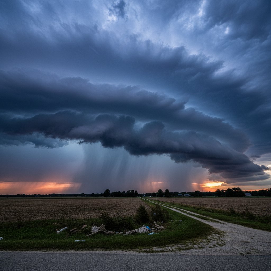
The roar of thunder wasn’t just noise—it was the sound of a freight train tearing through northeastern North Carolina on Tuesday afternoon. For residents from Elizabeth City to the Outer Banks, the storm that rolled in just before 3 p.m. brought more than awe. It brought shattered windows, snapped power lines, and flooded streets that turned commutes into nightmares.
This wasn’t your average summer squall. The National Weather Service in Wakefield, Virginia, clocked wind gusts hitting 70 miles per hour in Pasquotank County. Trees toppled onto cars and homes. In a matter of minutes, over 15,000 customers lost power across the region, with Dominion Energy reporting the hardest hits in Camden and Currituck counties.
For everyday people, the impact was immediate. Schools in Elizabeth City dismissed students early, sending them home into the teeth of the storm. Parents scrambled, highways turned into parking lots, and emergency services were stretched thin as reports of downed lines and flash flooding poured in.
A Perfect Recipe for Chaos
The storm tapped into an unstable atmosphere fueled by a cold front colliding with warm, moist air from the Atlantic. Meteorologists had flagged a slight risk for severe weather the night before, but the intensity caught many off guard. “What we saw was a classic setup for a severe thunderstorm outbreak,” says Dr. Emily Hartfield, a meteorologist at the University of North Carolina. “The wind shear was just right to organize these storms into a dangerous line.”
That line, known as a squall line, plowed through the region at 40 miles per hour. Radar images showed a bow echo—a telltale sign of damaging straight-line winds. In Edenton, a historic town on the Albemarle Sound, wind ripped the roof off a local hardware store. In Hertford, a barn collapsed, killing livestock.
The storm’s ferocity wasn’t limited to wind. Torrential rain dumped up to 4 inches in some areas within two hours, overwhelming drainage systems. Flash flood warnings went out for Perquimans and Chowan counties, where water rose over roadways. Drivers had to be rescued from stalled cars on Highway 17 near the Pasquotank River bridge.
Power Grids Take a Hit
For many, the aftermath meant sitting in the dark. Dominion Energy reported that restoration could take up to 48 hours due to the extent of the damage. Downed trees had crushed transformers, and snapped poles left lines tangled on the ground. In areas like Moyock and Grandy, residents were told to prepare for extended outages as crews worked through the night.
“We’ve got hundreds of line crews out there, but the damage is widespread,” says John Merritt, a spokesperson for Dominion Energy. “We’re prioritizing critical infrastructure like hospitals and shelters, but it’s going to be a slow process.”
For families with young children or elderly relatives, the power loss was more than an inconvenience—it was a health risk. Without air conditioning in the sweltering July heat, temperatures inside homes soared into the 90s. Cooling centers were set up in Elizabeth City and Kill Devil Hills, but some rural residents had to drive over 20 miles to reach them.
History Repeats Itself
Northeastern North Carolina is no stranger to severe weather. The region sits at a crossroads where cold fronts from the north meet warm Gulf Stream air, creating a frequent breeding ground for storms. In 2018, a similar squall line caused widespread damage here, and many residents still remember the cleanup that took weeks. “It’s like deja vu,” says Linda Pearce, a retired teacher from Camden. “Every few years, we get one of these that just rips through. You’d think we’d be used to it, but it’s always shocking.”
But this storm had a twist: it arrived during a heat wave that had already stressed the region for a week. The ground was parched, making trees more likely to snap in high winds. And the heat index, hovering around 105 degrees, made post-storm recovery dangerous for those without power. Climate scientists warn that such compound events—heat waves followed by severe storms—are becoming more common as the planet warms.
Dr. Hartfield echoes that concern: “We’re seeing more energy in the atmosphere. That means when storms do form, they have more fuel to become severe. This is exactly the kind of event we expect to see more of in a warming climate.”
What Comes Next
As of Wednesday morning, the storm has moved offshore, leaving behind a mess that will take days to clean up. The National Weather Service has dispatched survey teams to assess whether any tornadoes touched down—a possibility that can’t be ruled out given the damage patterns. Power crews are working double shifts, but full restoration may not come until the weekend.
For the people of northeastern North Carolina, the storm is a reminder of their vulnerability. But it’s also a testament to their resilience. Neighbors are already helping neighbors, chainsaws buzzing, generators humming. The sky is clear now, but the thunder still echoes in their ears—and in the forecast, there’s another chance of severe weather on the horizon. Stay informed, stay prepared, and when the sky turns green, take cover.



