







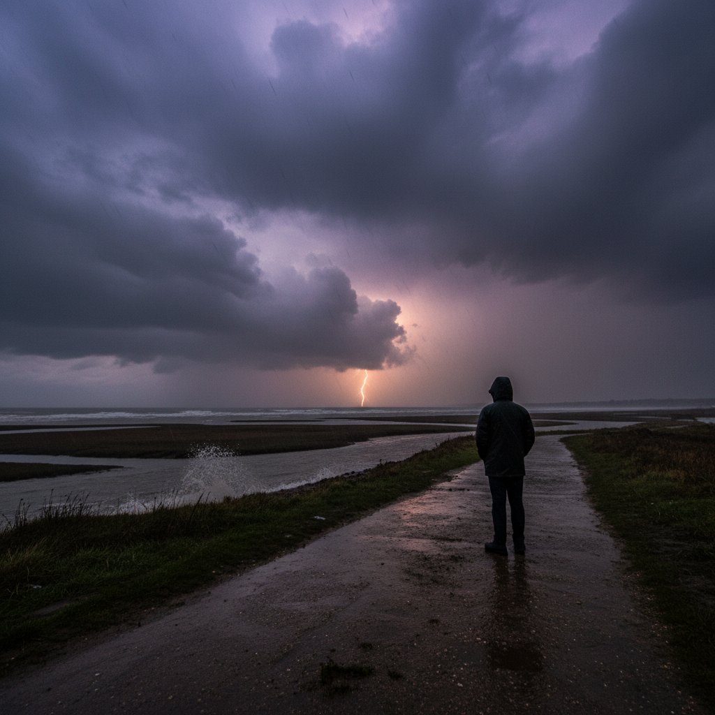
Dark, churning clouds rolled over the rooftops of Alresford, Essex, on Tuesday evening, unleashing a barrage of torrential rain and gusting winds that turned streets into rivers within minutes. One resident, captivated by the dramatic display, captured footage that quickly spread across social media, showing lightning splitting the sky and water cascading down the village lanes. This was no ordinary autumn squall; it was a shockingly intense storm that left many in the region scrambling for higher ground.
For residents of this quiet Essex village, nestled in the Colne Valley, the scene was both awe-inspiring and alarming. The storm, which began around 6:30 PM local time, dumped more than an inch of rain in just two hours, overwhelming drainage systems and causing flash flooding that submerged roads and seeped into properties. The footage from Alresford, shared with the caption “I am loving the stormy weather here in Essex,” encapsulated a mood of exhilaration mixed with trepidation as the full force of the storm became apparent.
The Storm’s Sudden Fury
The storm developed with remarkable speed, catching many off guard. What had been a mild, overcast afternoon suddenly darkened as a low-pressure system deepened over the North Sea, drawing warm, moist air into a collision with cooler continental air. The result was explosive convection, spawning a train of powerful thunderstorms that marched across East Anglia.
Alresford bore the brunt. Rainfall rates reached 50 millimeters per hour, a rarity for this part of England. Wind gusts of up to 60 miles per hour snapped tree branches and sent garden furniture flying. The combination of heavy rain and gusty winds made travel treacherous; several roads, including the A120 near Colchester, were partially submerged, forcing detours. Local authorities reported a surge in calls from residents reporting basement flooding and power outages.
“This was a textbook example of a late-season severe thunderstorm event. The setup—warm, humid air meeting a sharp cold front over already saturated ground—was perfect for rapid development. We recorded lightning rates of over 100 strikes per hour in Essex during the peak.”
The lightning show was a standout feature. The footage from Alresford captured multiple cloud-to-ground flashes, illuminating the rainwater cascading across fields. Such intense electrical activity in late October is unusual, though not unprecedented, as warming seas can extend the thunderstorm season.
Historical Context and Rare Intensity
Severe storms in Essex are hardly new, but the intensity of this event drew comparisons to two notable outbreaks. The Great Storm of 1987 devastated southern England, but that was a windstorm with hurricane-force gusts. In contrast, Tuesday’s event focused on torrential rain and convection. More recently, the July 2021 flood event in London brought widespread chaos, yet that was a summer phenomenon. This storm’s arrival in late autumn underscores a shifting pattern: extreme precipitation events are occurring later in the year.
Local records are sparse, but preliminary data from the Environment Agency suggests that Alresford experienced its highest three-hour rainfall total for October since records began in the 1960s. The Colne River rose rapidly, reaching danger levels by late evening. Flood warnings were issued for the Lower Colne, specifically around Wivenhoe and Rowhedge, as officials monitored potential breaches.
“What stands out is the combination of factors: a high dewpoint, sharp convergence zone, and the storm training over the same location for nearly an hour. That’s a recipe for flash flooding. We’re seeing these kind of setups more frequently as the climate warms, because the atmosphere can hold more moisture.”
Professor Aldridge points to a broader trend: for every 1°C of warming, the atmosphere can hold about 7% more water vapor. That extra fuel is being tapped by storms like this one. While a single event cannot be directly attributed to climate change without detailed analysis, the fingerprints of a warming world are becoming more discernible in the statistics of extreme rainfall.
Impact on Essex Communities
Beyond Alresford, the storm affected a wide swath of Essex. In Colchester, several streets near the University of Essex campus were flooded, causing delays for students. Further south, in Mersea Island, coastal flooding was a concern as tide and storm surge combined, though the timing was not aligned with a high spring tide. Power supplies flickered across the region; UK Power Networks reported around 2,500 homes in North Essex were without electricity for several hours.
Emergency services were stretched. Essex County Fire and Rescue Service received over 30 flood-related calls between 7 PM and 10 PM, primarily for water ingress in basements and ground-floor rooms. No injuries were reported, but by Wednesday morning, several families had been temporarily displaced. The Environment Agency deployed mobile pumps to help clear standing water from affected roads.
The agricultural sector also took a hit. Fields near Alresford were turned into temporary lakes, threatening recently harvested crops and autumn sowings. Local farmers expressed concern about soil erosion and potential compaction from the sudden deluge.
Looking Ahead: Recovery and Warnings
The storm has moved east quickly, and quieter weather is expected for the remainder of the week. However, the ground remains saturated, and any additional rain could cause further flooding. The Met Office has issued a long-range outlook suggesting that a pattern of unsettled, stormy weather may continue into early November, driven by an unusually strong jet stream.
For the residents of Alresford, the clean-up is just beginning. The community, known for its picturesque setting and historic architecture, faces a days-long effort to dry out homes and repair damage. The local council has set up a support center at the Alresford Village Hall, offering sandbags and advice on flood recovery.
This storm serves as a stark reminder that extreme weather can strike anywhere, and that the United Kingdom’s infrastructure—designed for a past climate—must adapt to a future where such events become more common. As Professor Aldridge warns, “We are entering an era where the baseline for severe weather is being rewritten. Communities like Alresford are on the front line.” The footage that delighted one resident may soon become a symbol of the new normal.



