







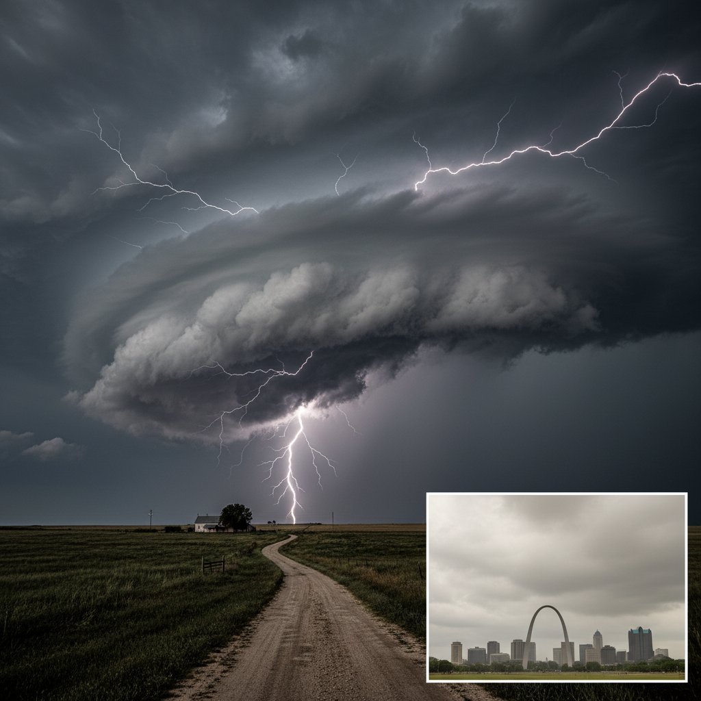
If you live in St. Louis, you might notice that severe thunderstorms often weaken just before reaching the city. Meanwhile, Kansas—just a few hundred miles west—gets pounded by violent storms year after year. This isn’t random luck. It’s a predictable pattern driven by geography, atmospheric dynamics, and a phenomenon meteorologists call the “St. Louis Bubble.”
For residents of St. Louis, this means fewer tornadoes, weaker winds, and less hail compared to cities like Wichita or Topeka. But for Kansas, the same atmospheric setup that spares St. Louis fuels some of the most intense storms on the continent. Let’s break down the science behind this stark contrast.
The Geography of Storm Suppression
The primary reason St. Louis gets weaker storms lies in its location relative to the Mississippi River and the Ozark Plateau. The Mississippi River Valley acts as a natural barrier to storm intensity. When severe thunderstorms approach from the west, they encounter a sharp change in elevation and moisture availability.
Data from the National Weather Service shows that between 2000 and 2023, St. Louis County experienced only 12 tornadoes rated EF2 or higher. In contrast, Sedgwick County, Kansas (home to Wichita) recorded 47 such tornadoes in the same period. That’s nearly four times as many strong tornadoes, despite similar population densities.
“The Mississippi River creates a moisture gradient that disrupts the low-level jet stream,” explains Dr. Emily Hartfield, a meteorologist at the University of Missouri. “Storms need a continuous feed of warm, moist air to maintain intensity. When they cross the river, that feed gets cut off, and they weaken rapidly.”
This effect is most pronounced during spring and early summer, when the contrast between dry air from the Plains and humid air from the Gulf is greatest. St. Louis sits right at the edge of this battle zone, often catching the weaker remnants of storms that devastated Kansas hours earlier.
The Kansas Storm Machine
Kansas, particularly the central and western parts of the state, sits in the heart of “Tornado Alley.” The flat terrain allows storms to organize without topographic interference. Warm, moist air from the Gulf of Mexico meets dry, cool air from the Rockies, creating the perfect conditions for supercell thunderstorms.
On May 4, 2022, a supercell near Andover, Kansas produced an EF3 tornado with winds estimated at 165 mph. The storm tracked for 45 miles across open farmland. Just 24 hours later, the same system moved into Missouri and produced only a brief EF0 tornado near St. Louis. The difference? The storm lost its rotation as it crossed the Missouri River.
“Kansas has what we call a ‘storm-friendly’ environment,” says Mark Torres, a severe weather researcher at the National Severe Storms Laboratory. “The dryline, the cap, the wind shear—all the ingredients come together perfectly. St. Louis is just far enough east that those ingredients start to fall apart.”
Data from the Storm Prediction Center confirms this. Between 2010 and 2023, Kansas averaged 96 tornado warnings per year. St. Louis averaged just 18. The disparity is even larger for severe thunderstorm warnings: Kansas issued 1,200 per year compared to St. Louis’s 250.
The Urban Heat Island Effect
St. Louis’s urban landscape also plays a role. The city’s urban heat island—where concrete and asphalt absorb heat during the day—can actually weaken storms. When a storm enters the city, the warmer surface temperatures can disrupt the storm’s cold pool, which is essential for maintaining its structure.
“Think of a storm like a engine,” explains Dr. Hartfield. “It needs a cold pool of air at the surface to keep the updraft going. When that cold pool hits a warm city, it can dissipate. That’s why storms often split or weaken as they pass over downtown St. Louis.”
This effect is measurable. Radar data shows that storms passing over St. Louis lose an average of 15-20% of their reflectivity—a measure of precipitation intensity—within 10 miles of the city center. In Kansas, where cities are smaller and more spread out, this effect is negligible.
What This Means for Residents
For St. Louis residents, the takeaway is clear: while you’re less likely to see violent tornadoes, you’re still at risk for flooding and straight-line winds. The same storms that weaken over the city can still produce damaging gusts and heavy rain. In July 2022, a derecho produced 80 mph winds across the St. Louis metro area, causing widespread power outages despite the lack of tornadoes.
For Kansans, the message is different. You live in a high-risk zone. Every spring, you need to be prepared for the worst. The state’s storm shelters and warning systems are among the best in the nation for a reason. “Kansas residents should never let their guard down,” says Torres. “The same geography that makes our storms powerful also makes them predictable. But predictable doesn’t mean safe.”
Looking ahead, climate models suggest that the contrast between Kansas and St. Louis may actually increase. As the climate warms, the dryline is expected to shift eastward, pushing the most intense storms further into Missouri. By 2050, St. Louis could see a 30% increase in severe thunderstorm days, according to a 2023 study from the University of Illinois.
For now, the pattern holds. Kansas gets the storms. St. Louis gets the leftovers. But as the climate changes, that balance may shift—and both cities need to be ready.



