







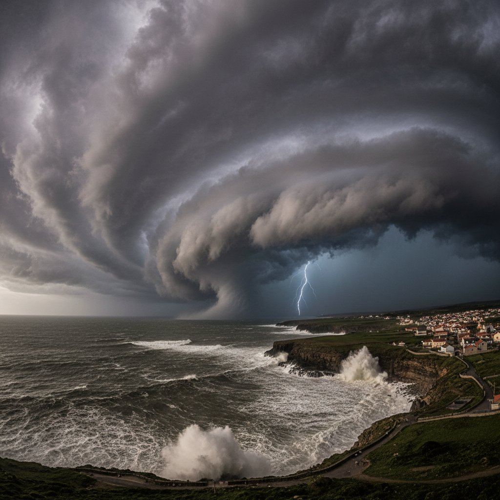
Is Europe about to face its most extreme winter weather event in a decade? A rare and potentially disruptive weather pattern is brewing over the Arctic, and meteorologists are closely watching a phenomenon that could send a deep freeze plunging into the heart of the continent.
The culprit is a sudden stratospheric warming (SSW) event—a dramatic collapse of the polar vortex that has historically triggered some of Europe’s most memorable cold snaps. If this pattern materializes as models suggest, millions from London to Berlin could face weeks of bone-chilling temperatures, heavy snowfall, and travel chaos.
What Is a Polar Vortex Collapse?
The polar vortex is a massive, rotating pool of cold air that typically sits over the Arctic during winter. It acts like a spinning top, keeping frigid air locked near the North Pole. But when the stratosphere warms rapidly—sometimes by 50°C in just days—the vortex weakens, wobbles, and can split into pieces.
This is exactly what forecasters are tracking now. The European Centre for Medium-Range Weather Forecasts (ECMWF) has flagged a significant SSW event projected for late January. When the vortex splits, it often sends one lobe of cold air spiraling southward over Europe.
“We are seeing strong signals for a major sudden stratospheric warming event around January 20-25. Historically, this has a 60-70% chance of leading to cold air outbreaks across Europe within two to three weeks,” said Dr. Elena Marchetti, a senior meteorologist at the UK Met Office.
The last comparable event occurred in February 2018, when “the Beast from the East” brought record snowfall and temperatures as low as -14°C in parts of the UK, causing widespread disruption and an estimated £1.2 billion in economic losses.
Historical Precedents: The Beast from the East and Beyond
To understand what Europe might face, look back at 2018. That SSW event split the polar vortex, sending a lobe of Siberian air westward. The result was a week of heavy snow that paralyzed transportation, closed schools, and led to dozens of deaths across the continent.
But the pattern is older than that. In 2009-2010, a similar vortex disruption caused the “Big Freeze,” which brought the UK its coldest winter in 31 years. Temperatures in parts of Scotland plunged to -22.3°C, and snow fell as far south as Rome. The economic toll exceeded €3 billion across Europe.
What makes the current setup particularly concerning is the strength of the projected warming. Some models show a 40-50°C temperature spike in the stratosphere, which could trigger a vortex split rather than a simple displacement. A split often leads to more persistent cold spells, lasting two to four weeks.
What This Means for Europe’s Infrastructure and Energy Grid
For readers in the US, UK, and Canada, the implications are stark. Europe’s energy infrastructure is already under strain from the ongoing energy crisis and the war in Ukraine. A prolonged cold snap would spike demand for heating, potentially overwhelming natural gas reserves.
In 2022, Europe narrowly avoided a winter crisis thanks to mild weather. But this year, storage levels are lower, and the continent is more dependent on liquefied natural gas (LNG) imports. A sudden freeze could push prices up by 20-30%, affecting households and businesses.
Transportation networks are equally vulnerable. High-speed rail lines in Germany and France have been disrupted by snow in past events. Airports in London, Paris, and Frankfurt could face cancellations if snowfall exceeds 10 cm. The UK’s National Grid has already issued contingency plans for “extreme winter scenarios.”
“The combination of a polar vortex collapse and Europe’s fragile energy system is a recipe for significant disruption. We are advising governments to prepare for potential gas supply emergencies and transport shutdowns,” said Dr. Henrik Larsson, an energy policy analyst at the European Climate Foundation.
How Long Will It Last and Who Is Most at Risk?
If the SSW event unfolds as predicted, the cold air could arrive in late January or early February and persist for two to four weeks. The most affected regions are typically northern and central Europe: the UK, Ireland, Germany, Poland, and the Benelux countries. Southern Europe, including Italy and Spain, may see milder impacts but could still experience frost and snow at lower elevations.
Forecast models from the ECMWF and the US GFS show a 55-65% probability of below-average temperatures across much of Europe in early February. The key variable is the exact position of the vortex lobe. If it settles over Scandinavia, the UK and Germany get the worst of it. If it shifts east, Eastern Europe bears the brunt.
For now, meteorologists urge caution. SSW events are notoriously difficult to predict beyond 10 days. The current signal is strong, but it is not a guarantee. “We have seen false alarms before,” notes Dr. Marchetti. “But the consistency across multiple models this time is unusually high. I would advise everyone in northern Europe to start preparing now.”
Looking ahead, this pattern could become more common as the climate warms. Research published in Nature in 2021 suggests that Arctic amplification—the faster warming of the Arctic—may be destabilizing the polar vortex, making SSW events more frequent. If true, Europe may need to brace for more “Beasts from the East” in the coming decades.
For now, the message is clear: watch the forecasts, stock up on essentials, and prepare for a winter that could rewrite the record books.



