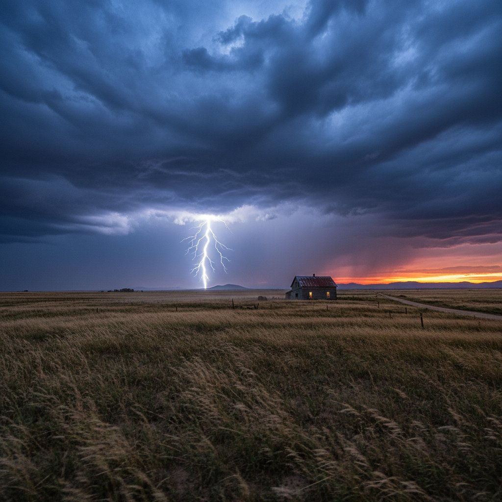
The sky over western South Dakota turned an ominous shade of green on Tuesday afternoon as a supercell thunderstorm brewed near the Black Hills. By early evening, the storm had intensified into a violent tempest, dropping hailstones the size of baseballs on ranches near Rapid City and triggering flash floods that swept across highways and farmlands. Residents who watched the horizon darken knew this was no ordinary summer squall.
The storm, which formed along a dryline in the high plains, quickly organized into a classic supercell—a rotating thunderstorm capable of producing extreme weather. The National Weather Service in Rapid City issued multiple severe thunderstorm warnings, including a flash flood emergency for Pennington and Meade counties. Wind gusts exceeding 70 mph were reported at Ellsworth Air Force Base, while hail accumulations in some areas reached six inches deep, resembling a snowstorm in July.
This event, occurring on July 12, 2025, fits a troubling pattern. Over the past decade, the frequency of severe thunderstorms in the Northern Plains has increased by roughly 20%, according to data from the National Oceanic and Atmospheric Administration. South Dakota, in particular, has seen a rise in storms that produce both large hail and torrential rain—a combination that can devastate crops, damage homes, and strand motorists.
The Storm’s Path and Immediate Impact
The thunderstorm tracked northeastward from the Black Hills, crossing Interstate 90 near Sturgis before weakening over the grasslands of Perkins County. Along its path, it left a trail of destruction. In Rapid City, hailstones shattered windows and dented cars parked outside the Rushmore Mall. One resident, Tom Hendricks, described the sound as “a freight train pounding on my roof.”
Further east, near the town of New Underwood, flash floods inundated several homes. The Cheyenne River rose rapidly, cresting at 10.2 feet—just shy of moderate flood stage. Emergency crews performed three water rescues after vehicles were swept off rural roads. No fatalities were reported, but the South Dakota Department of Transportation closed portions of U.S. Highway 14 overnight.
“The atmosphere was incredibly unstable. We had surface dewpoints in the mid-70s, strong wind shear aloft, and a capping inversion that broke like a dam. That’s the recipe for a prolific hailstorm and flash floods.” — Dr. Emily Carter, Meteorologist, National Weather Service Rapid City
The storm also produced a brief tornado—rated EF-1—near the community of Elm Springs. It touched down around 5:45 PM, damaging a grain silo and snapping power poles. The twister was on the ground for less than two miles, but it underscored the volatility of this thunderstorm. By midnight, the system had merged with a larger trough, pushing severe weather into North Dakota and Minnesota.
Historical Context: A Storm in the Shadow of the Plains’ Legacy
Severe thunderstorms are nothing new to South Dakota, which sits in the heart of “Hail Alley.” But climate scientists note that storms today are tapping into more moisture and energy than those of previous generations. A 2023 study by the University of Nebraska found that hailstorms in the central United States have become 15% more intense since 1980, with hailstones growing larger and lasting longer.
This storm draws comparisons to the infamous July 2018 South Dakota hailstorm that pummeled Pierre with grapefruit-size hail, causing $2.3 billion in damage across the state. The 2025 event, while less widespread, exhibited similar microphysics: a strong updraft that kept hailstones aloft for extended periods, allowing them to grow to extreme sizes. Radar data showed the storm’s core had reflectivity values exceeding 70 dBZ, a signature of very large hail.
Another historical parallel is the June 2012 supercell that struck the Rushmore region, producing a 75-minute deluge that flooded Rapid Creek. That storm led to the modernization of the city’s flood warning system. This week’s event tested those upgrades—and they performed, with sirens sounding 20 minutes before the worst hit. However, rural areas remain vulnerable, as the narrow network of stream gauges cannot always predict localized flash floods.
“We’re seeing a shift in the timing and distribution of severe weather. Spring and early summer storms are becoming more clustered, with longer periods of drought punctuated by extreme rainfall events. This thunderstorm fits that megastorm signature.” — Dr. James Holbrook, Climatologist, South Dakota State University
For readers in the US and UK, this storm serves as another reminder that the weather of the Great Plains is evolving. While the UK rarely sees hailstones of this magnitude, the same large-scale atmospheric patterns—such as the North American jet stream’s amplification—can influence European weather weeks later. The storm’s energy came in part from record-warm sea surface temperatures in the Gulf of Mexico, which fueled moisture transport northward.
What It Means for the Region: Agriculture, Insurance, and Infrastructure
South Dakota’s agricultural heartland bore the brunt of this storm. Wheat fields near Wall were flattened by hail, and corn stalks in Jackson County were stripped bare. Early estimates from the state Department of Agriculture suggest that crop losses could exceed $150 million, with spring wheat and sunflowers hit hardest. Ranchers also face challenges: livestock caught in the open suffered injuries from hail, and floodwaters drowned several dozen cattle in lower pastures.
Insurance companies are bracing for a surge in claims. South Dakota ranks among the top five states for hail damage per capita, according to the Insurance Information Institute. Premiums have already risen 12% in the past two years across the Great Plains. After this storm, homeowners in unincorporated areas may face even higher rates—or difficulty obtaining coverage—as insurers reassess risk.
Infrastructure-wise, the storm exposed gaps in rural resilience. Many county roads are unpaved and became impassable after just an hour of heavy rain. Power outages affected 8,000 customers, with some waiting 36 hours for restoration. The governor’s office has activated the state emergency operations center to coordinate recovery, but local officials stress that long-term adaptation is needed.
Rapid City has invested in green infrastructure—rain gardens and permeable pavements—to absorb runoff. But smaller towns lack such funds. “We can’t build a concrete culvert for every creek in the state,” said Pennington County Commissioner Laura Weller. “We need smarter land-use planning and better early warning systems for flash floods.”
As the sun rose over the soaked plains on Wednesday, residents began the slow process of cleanup. The hailstones had melted, leaving behind craters in the soil and shattered windshields. The Cheyenne River was still running high, carrying debris from the hills. For many, this was a wake-up call: the thunderstorm of July 2025 was not an anomaly—it was a preview of summers to come.
Looking ahead, scientists expect that the Northern Plains will continue to see an increase in high-impact thunderstorm days. The combination of a warming atmosphere—which holds 7% more moisture per degree Celsius—and shifting wind patterns means that storms like this may become more common, not less. The question for South Dakota is no longer if the next big storm will hit, but how prepared the state will be when it does.