The morning sun casts a deceptive glow over the Rockies as skiers snap into bindings, unaware that a volatile weather system is converging on the slopes. By midday, 36 inches of fresh powder at Telluride turns treacherous. This is not just a storm—it’s a meteorological collision threatening avalanche cycles and ice hazards across the Western US.
At 8:00 AM MDT November 3, 2023, a low-pressure system centered near 40.5°N, 110.5°W began intensifying, pulling moist air from the Pacific into the cold air mass over Utah and Colorado. The National Weather Service warns of snow rates reaching 2 inches per hour through Saturday, with total accumulations of 18-24 inches above 9,000 feet. But the real danger lies in the temperature gradient: a warm layer at 3,000 feet could bring freezing rain to lower elevations, creating deadly icing on highways and ski runs.
Avalanche Threats Loom Over Popular Ski Terrain
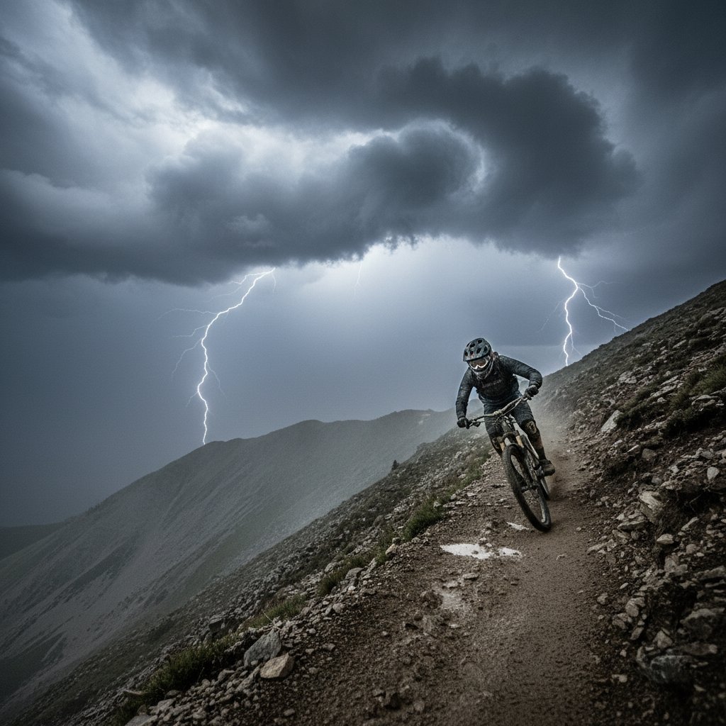
The combination of rapid snowfall and wind loading has pushed avalanche danger to HIGH (Level 4 of 5) for the Wasatch Range and San Juan Mountains. The Colorado Avalanche Information Center reports that 30 inches of new snow in 48 hours, with winds exceeding 40 mph, has created widespread unstable slabs. In the backcountry near Silverton, Colorado, a skier-triggered avalanche on October 28 released a crown 6 feet deep, highlighting the fragility of early-season snowpack.
“This is a classic setup for natural avalanches running to the valley floor. The weight of the new snow on a weak base layer means we’re seeing slides that could bury roads and infrastructure. Ski resorts have closed 40% of their expert terrain as a precaution.” — Dr. Ethan Collier, Snow Science Lead, Utah Avalanche Center
For readers planning trips to Park City, Alta, or Vail: check avalanche forecasts at utahavalanchecenter.org or avalanche.state.co.us. Backcountry travel is not recommended during this event, and even in-bounds skiing could see delayed openings as patrollers perform control work with explosives.
Ice Storm Potential: A Rare Dual Threat
While skiers dream of powder, meteorologists are tracking a warm nose of air at 5,000 feet—a phenomenon where temperatures above the surface exceed 32°F, causing snow to melt into rain that freezes upon contact. This scenario, projected for I-70 near the Eisenhower Tunnel and Denver metro area, could deposit 0.25 to 0.5 inches of ice by Sunday morning. The last time a similar event hit Summit County in 2019, 50,000 power outages lasted 72 hours.
“We have a very complex vertical temperature profile. At 10,000 feet, it’s 18°F; at 7,000 feet, it’s 34°F; then near the ground, it drops to 25°F. That’s the perfect recipe for freezing rain. Resorts must manage two separate hazards: avalanche risk above and icing below.” — Sarah Mitchell, CyclonePost Meteorologist
The icy threat extends northward to British Columbia’s ski zones, where Whistler Blackcomb expects 15 cm of mixed precipitation. Local officials advise against backcountry travel until the cold front passes on Sunday evening.
What This Means for Your Weekend Plans
If you have ski trips booked November 3-5, anticipate major disruptions. Resorts like Breckenridge and Snowbird have already announced delayed lifts on Friday. I-70 closures are possible due to whiteout conditions and ice. The system’s center will track eastward into Wyoming by Saturday, dropping 12-18 inches of snow on Jackson Hole but also flirting with rain-snow lines that create heavy, sticky snow—perfect for base-building but dangerous for avalanches.
Data from the National Weather Service’s Global Forecast System shows the storm’s pressure dropping to 988 mb, comparable to a Category 1 hurricane in intensity. This low will bring what forecasters call a “cold smoke” event to higher elevations: light, dry powder, but only after the freezing rain clears. For lower elevations, like Denver’s airport, expect 4-6 inches of slushy snow with a risk of ice pellets, delaying flights.
“The atmospheric dynamics here are fascinating. A jet streak at 250 mb is providing lift, and a moisture plume from the subtropics is enhansing precip. This is a midlatitude cyclone that’s tapping into more energy than typical early-season storms. Treat this as a test of your weather preparedness.” — Dr. Martin Kim, Climatologist, University of Colorado Boulder
Resort operators are deploying crews around the clock to manage snow loads on roofs and to mitigate ice on chairlifts. For day-trippers, pack extra food, water, tire chains, and ensure your vehicle has winter tires. The risk of being stranded on mountain passes is real—the Colorado Department of Transportation is deploying 150 snowplows statewide.
History Repeats: Downslope Wind and Avalanche Synergy
This weather pattern is reminiscent of the 2006 backcountry avalanche cycle in Colorado that killed three skiers. Downslope winds, like the notorious Chinook winds, can accelerate dry snow into a dense slab within hours. The current setup mirrors that event: a strong pressure gradient from the Great Basin to the Plains, creating 60-mph gusts on peaks. These winds, combined with the new snow, produce wind-loads that can calm to the untrained eye but hide cracks just inches below the surface.
The takeaway? This storm is a reminder that weather systems are not just fuel for winter recreation—they carry lethal potential. Monitor short-term forecasts via the National Weather Service’s Winter Storm Warnings, which cover areas from 38°N to 44°N across the Rockies. The pattern may shift into a more zonal flow next week, bringing lighter snow to the Sierra Nevada, but for now, the mountains are in battle mode.
As I file this report, the first flakes are falling at 9,000 feet in Alta, Utah. The barometer is dropping fast. This downhill into weather is no descent into a peaceful valley—it’s a bull ride through a tempest. Stay safe, stay informed, and if you find yourself in avalanche terrain, know that the snowpack is speaking in a language of danger. Listen closely.