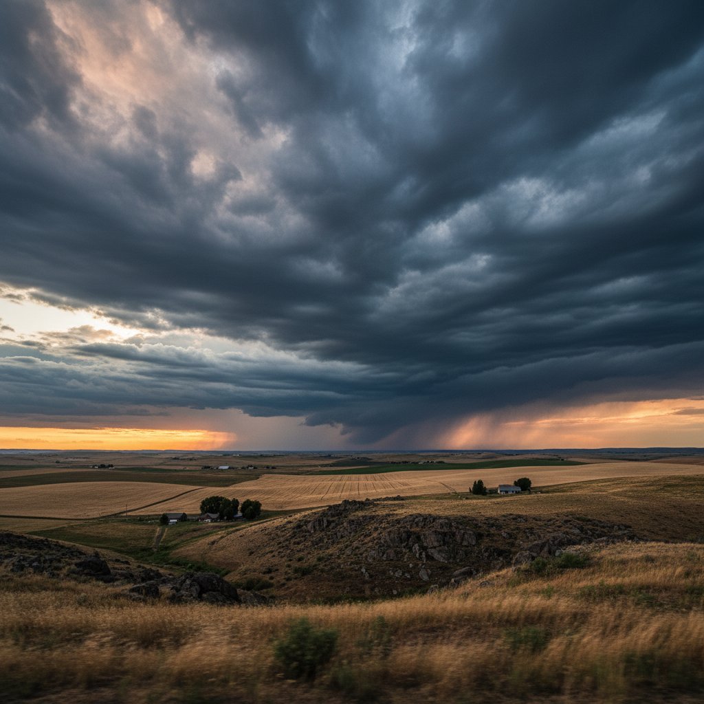
On a single morning in late February 2025, residents across Eastern Washington looked up to see a spectacle that stopped commuters in their tracks. A series of perfectly stacked lenticular clouds, shaped like flying saucers and layered like pancakes, stretched from the Cascade crest deep into the Columbia Basin. These aren’t just pretty pictures—they tell a story of powerful atmospheric forces that shape the region’s weather, agriculture, and even aviation.
The Science Behind the Skyward Sculptures
When moist air from the Pacific Ocean collides with the Cascade Range, it is forced upward in a process called orographic lift. As the air rises and cools, water vapor condenses into clouds. But in Eastern Washington, a unique combination of geography—high peaks on the west, vast plains on the east—creates standing waves in the atmosphere. These waves, known as lee waves, produce stationary clouds that can linger for hours, seemingly unmoving against a backdrop of blue sky.
“What most people don’t realize is that these clouds aren’t static—they are constantly forming on the windward side and dissipating on the leeward side, giving the illusion of stillness,” explains Dr. Sarah Mitchell, a meteorologist at Washington State University. “The wind speeds within the wave can exceed 60 miles per hour, even while the clouds appear frozen in place.”
On that late February morning, a strong jet stream blowing at 120 knots aloft created ideal conditions for multiple cloud layers. Satellite imagery showed a wave pattern extending more than 100 miles east of the Cascades, a phenomenon known as a cloud street. For glider pilots, these conditions are a playground; for commercial airlines, they are a hazard.
“We regularly see turbulence advisories for Spokane and the Palouse when these lenticulars appear,” says Captain James Reed, a retired airline pilot who flew for Alaska Airlines for 25 years. “They’re beautiful, but they warn us of powerful mountain waves that can toss a 737 around like a paper airplane.”
Why This Matters for Agriculture and Aviation
Eastern Washington produces nearly 70% of the nation’s apples and most of its wheat. Cloud movements are not just an aesthetic curiosity—they influence local weather patterns that directly impact crop cycles. Lenticular clouds often signal incoming changes: when they persist, they can block solar radiation, cooling the ground and delaying the start of the growing season. Conversely, when they break up, they signal a shift in wind direction that might bring warmer air from the interior.
“Farmers have been reading these clouds for generations,” says Emily Torres, an agronomist at the Washington State Department of Agriculture. “A day of thick lenticulars in March can mean a frost risk overnight. That’s the difference between a bumper crop and a disastrous freeze.”
For aviation, the implications are more direct. The Federal Aviation Administration issues Mountain Wave Warnings when conditions like those of February 25 are forecast. In 2023, a regional jet encountered severe turbulence near Walla Walla, injuring three passengers. The culprit? A mountain wave triggered by the same cloud formations that now fill social media feeds. Understanding these cloud movements is critical for predicting and avoiding such incidents.
A Changing Climate’s Influence on Cloud Patterns
As global temperatures rise, the dynamics of cloud formation over Eastern Washington are shifting. A 2024 study from the University of Washington found that the altitude of the jet stream has increased by an average of 200 feet per decade since 1980. This subtle change alters the height at which lee waves develop, potentially pushing lenticular clouds higher and making them less frequent at lower elevations.
“We’re seeing a reduction in the classic low-level lenticulars that used to be common over the Columbia Basin,” says Dr. Mitchell. “Instead, we’re getting more high-altitude cirrus-like waves that are less interactive with the surface. That could affect both precipitation patterns and wind energy generation.”
The wind energy sector has particular interest. Eastern Washington hosts several large wind farms, including the Stateline Wind Energy Center. Consistent winds generated by mountain waves are a boon for turbine output—but only if those winds occur at turbine height. If cloud movement patterns shift upward, the wind resource may become less reliable, forcing operators to invest in taller towers or adaptive control systems.
What Lies Ahead
The next few years will bring more intense monitoring of cloud movements in Eastern Washington. NASA’s Atmospheric Dynamics Mission, set to launch in 2026, will provide real-time data on wind profiles over mountainous regions. Meanwhile, local weather offices are collaborating with university researchers to develop higher-resolution models that can predict these cloud patterns days in advance.
For now, residents can continue to enjoy the skyward sculptures—the lenticulars, the cloud streets, the gravity waves. But behind their beauty lies a complex interplay of forces that touches every part of life in the region. As Dr. Mitchell puts it: “The clouds over Eastern Washington aren’t just art. They’re a window into the engine that drives our climate, our economy, and our safety. We ignore them at our peril.”
So the next time you look up and see those saucer-shaped clouds hovering over the Palouse, remember: they’re not standing still. They’re moving in ways we’re only beginning to understand—and that motion holds the key to what lies ahead for this corner of the Pacific Northwest.